Traverse of Turkestan range ― South-West Kyrgyzstan (2011)
Leg 6: From Shirovsky glacier to Kshemish
valley (July 26-28)
![]()
We hiked up Shirovsky
glacier to Shurovskogo pass (marked 1.4.1 in the map below,
4300m). I had crossed this pass in the opposite direction in 2005.
But there was much more snow at that time. While we did not have to rope on Shirovsky glacier in 2005, crevasses forced us to rope in
2011. In addition, the route that we used in 2005 to ascend the pass was
covered by compact snow at that time, but there was no more snow on this route
in 2011, just rotten rocks. This led us to cross the pass at a slightly higher
point and follow a steep mixed snow-rock slope for the descent (see below). We
then reached the Kshemish glacier and later hiked the
Kshemish river down to the
place where we had our second delivery of food.
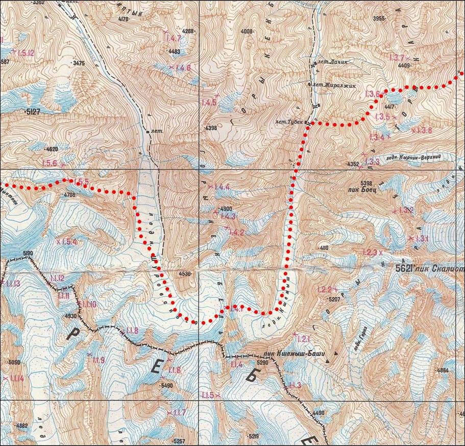
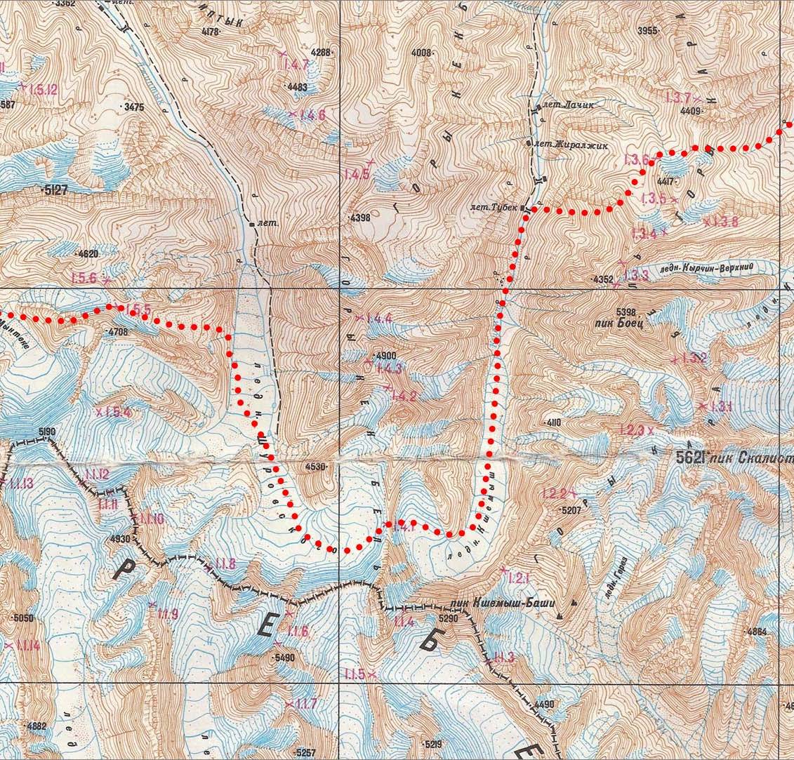
Topographic
map for leg 6. Click here
to see the map at better resolution. (Black vertical lines in the map are distant by
9.5 km.)
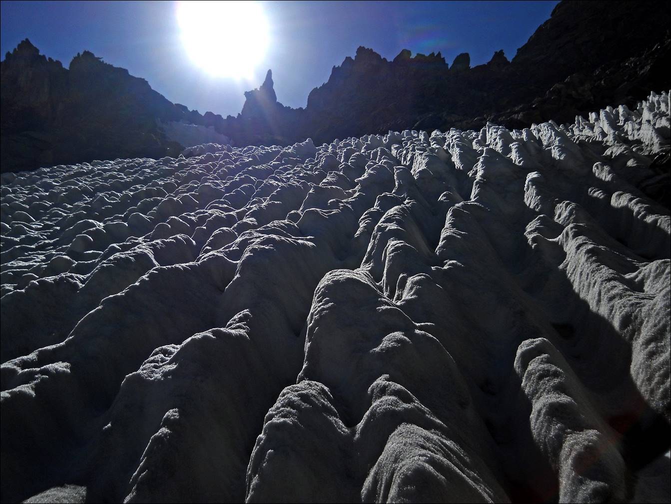
Lower part of the Shirovsky
glacier.
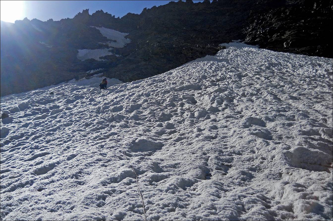
Further up along the glacier.

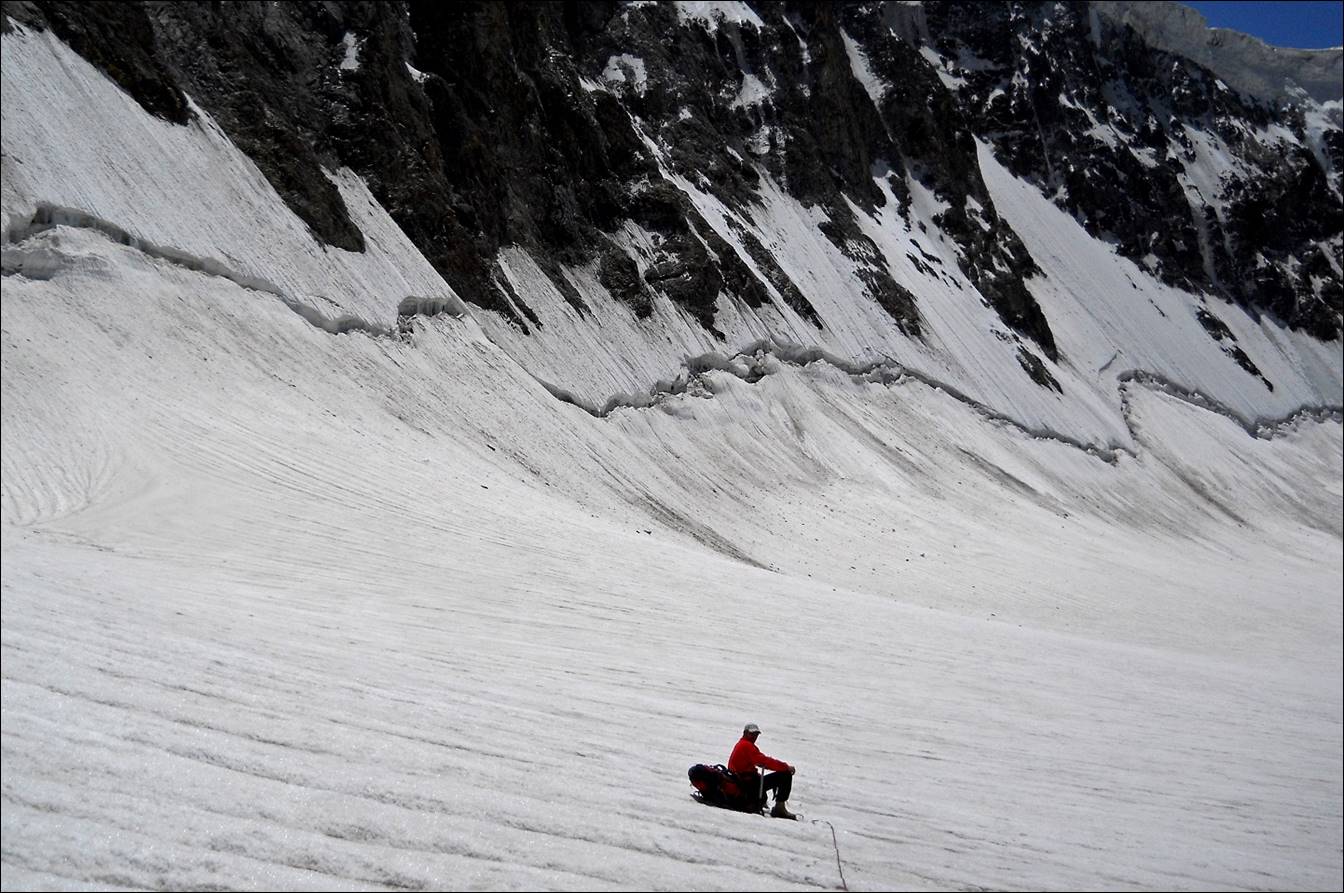
Slava taking a rest
on the upper section of the Shirovsky glacier.
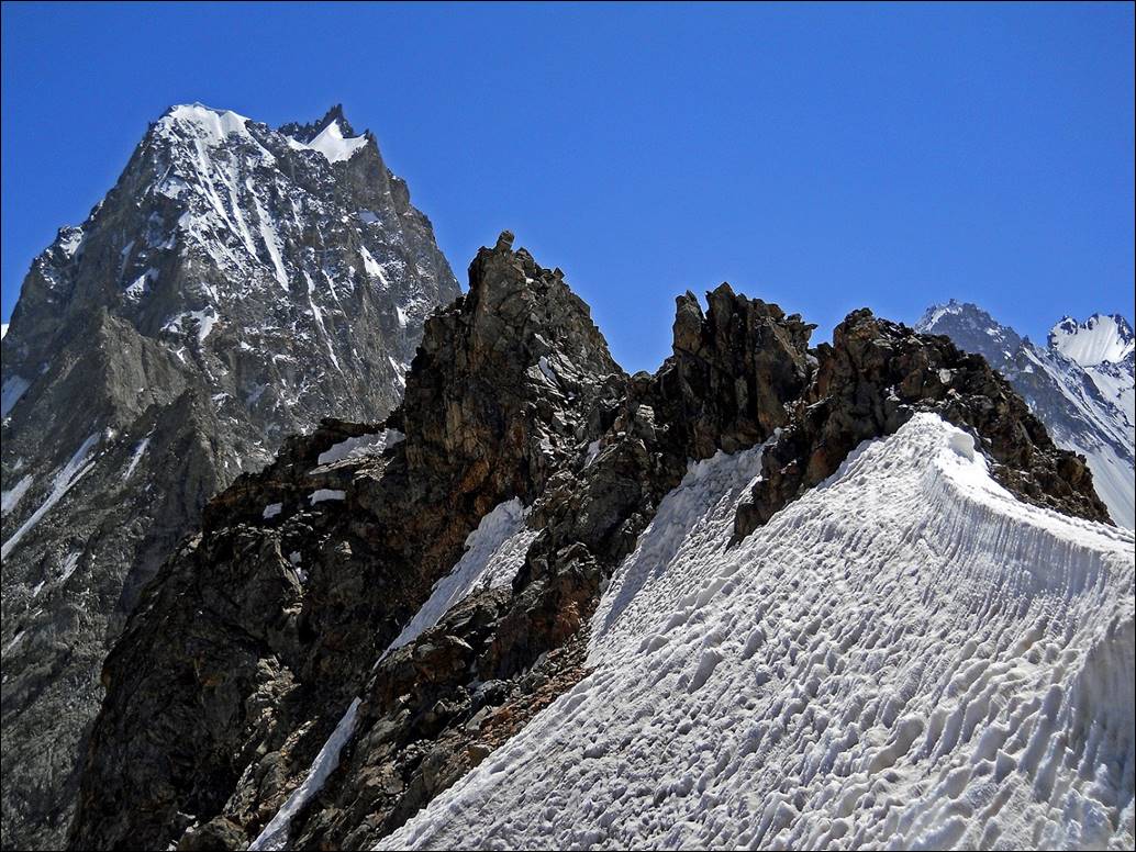
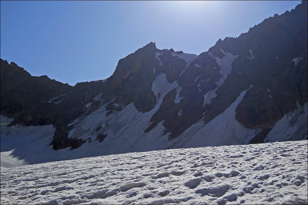
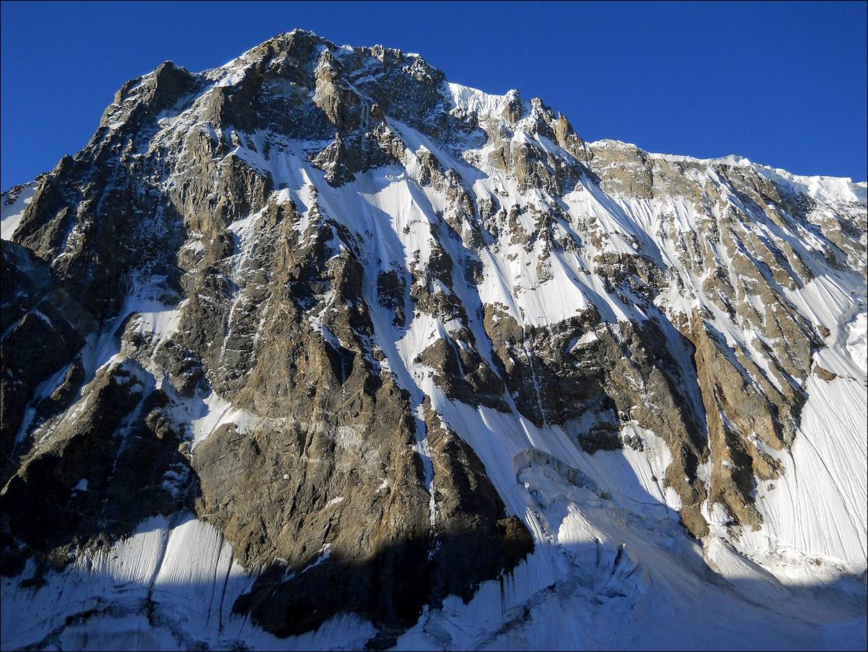
Looking at the Shirovsky
glacier from above. Our ascent route was on the left-hand side of the glacier
on this photo.
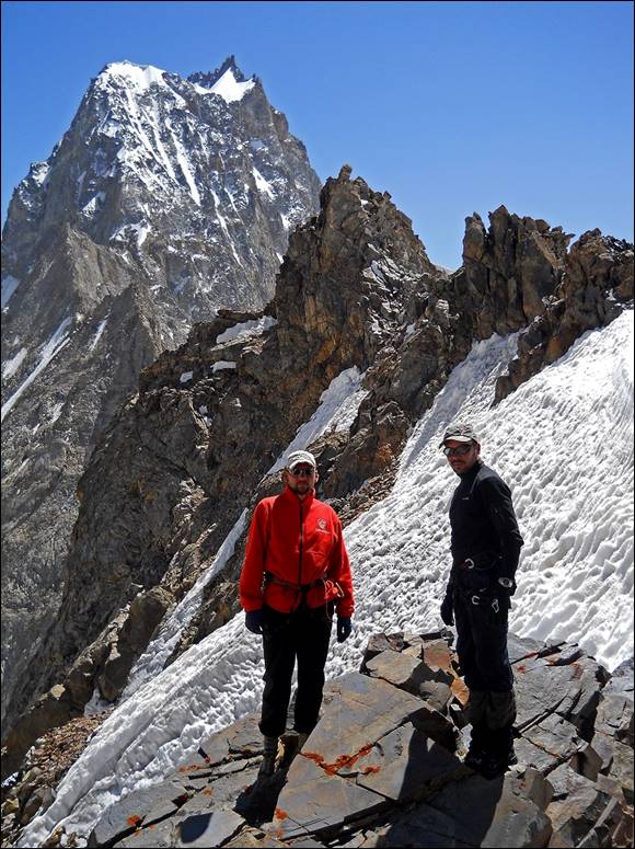
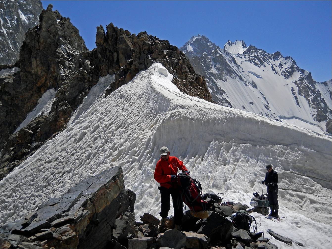
Reaching Shurovskogo pass.
At Shurovskogo pass.
|
|
|
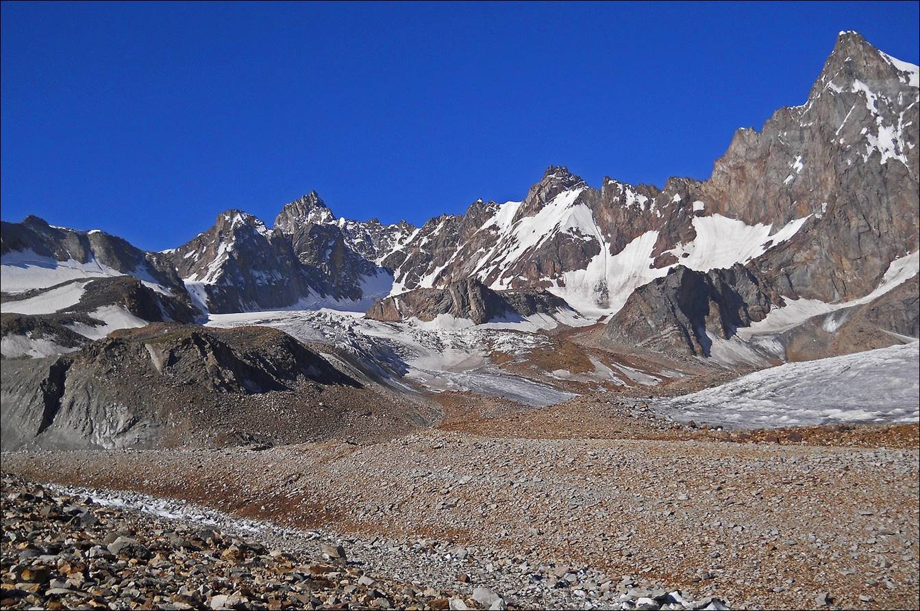
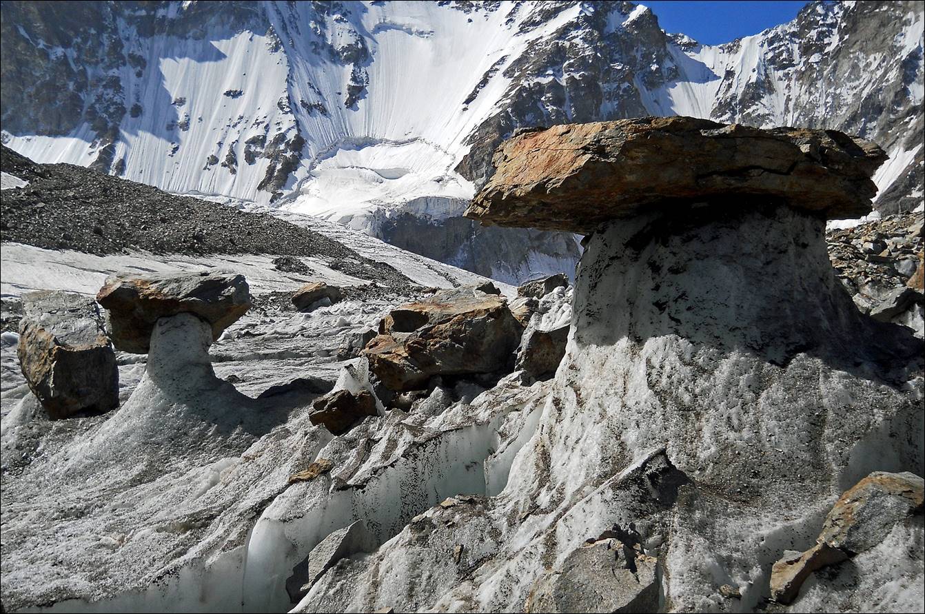
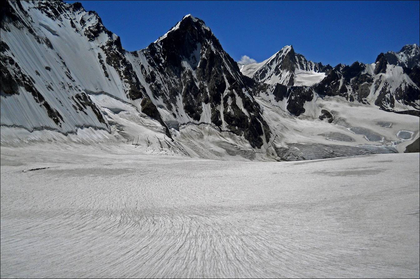
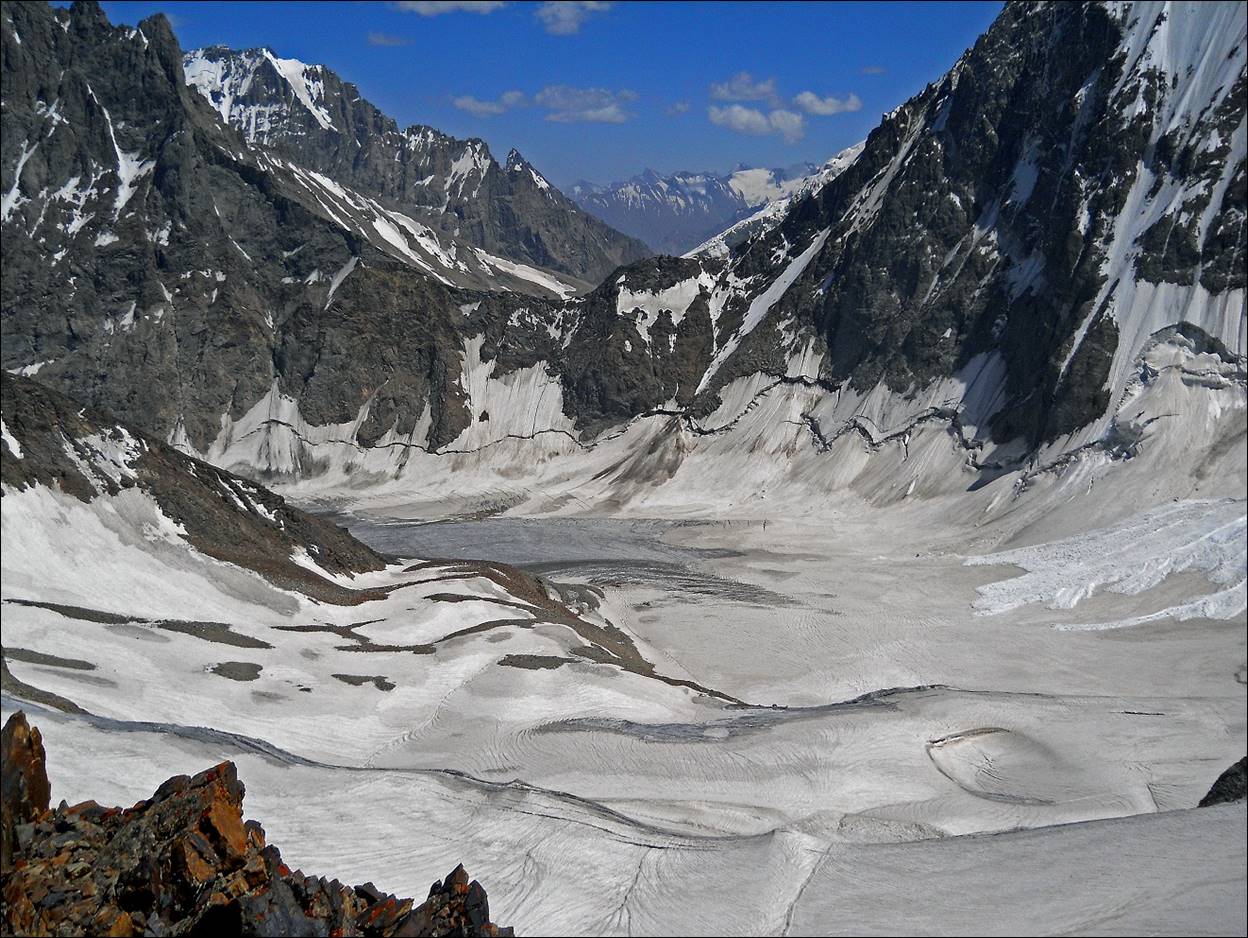
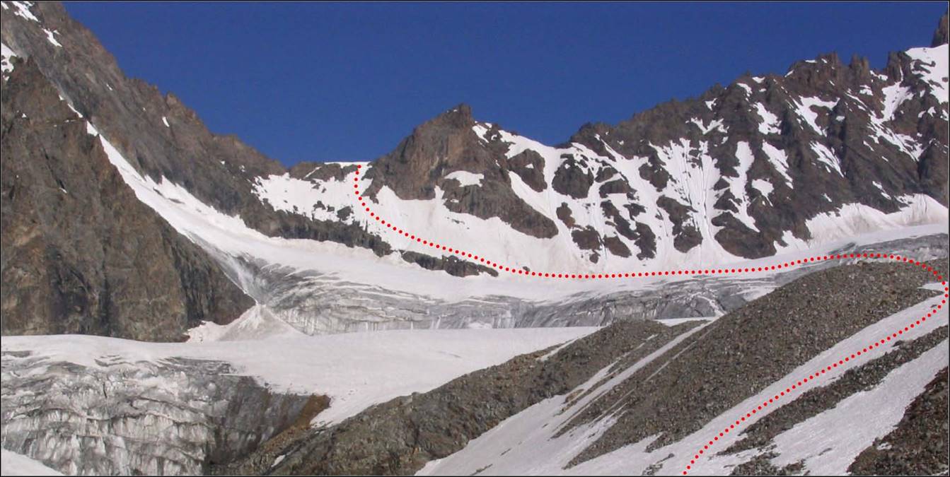
Kshemish glacier as
seen from Shurovskogo pass.
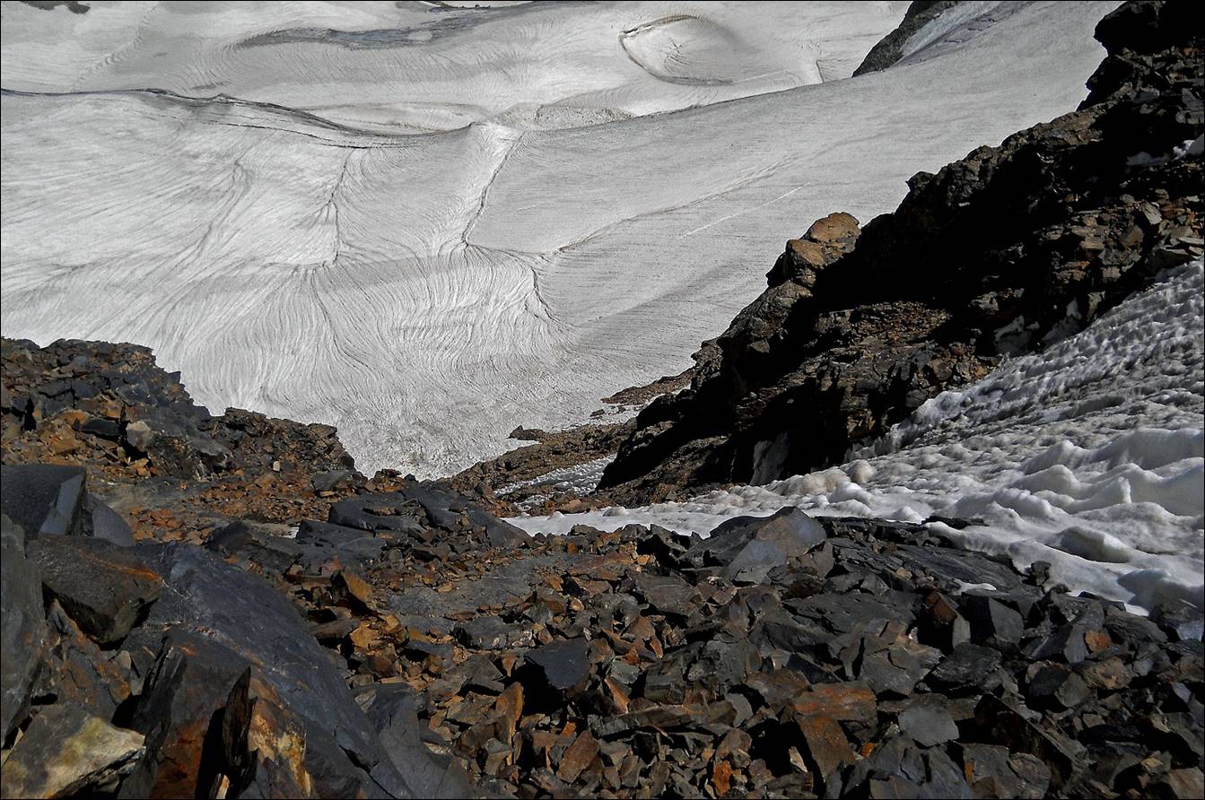
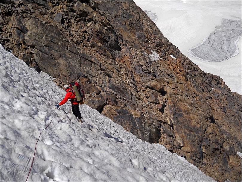
View over our descent route: a mix bag
of loose rocks and rotten snow.
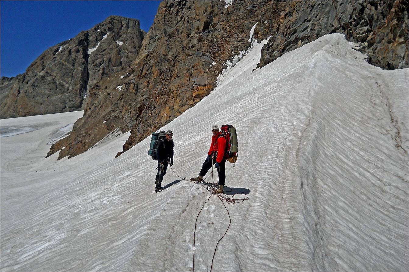
Maksim and Slava
getting ready for the descent.
Slava leading the
traverse of a steep patch of rotten snow.
|
|
|

Maksim climbing down.
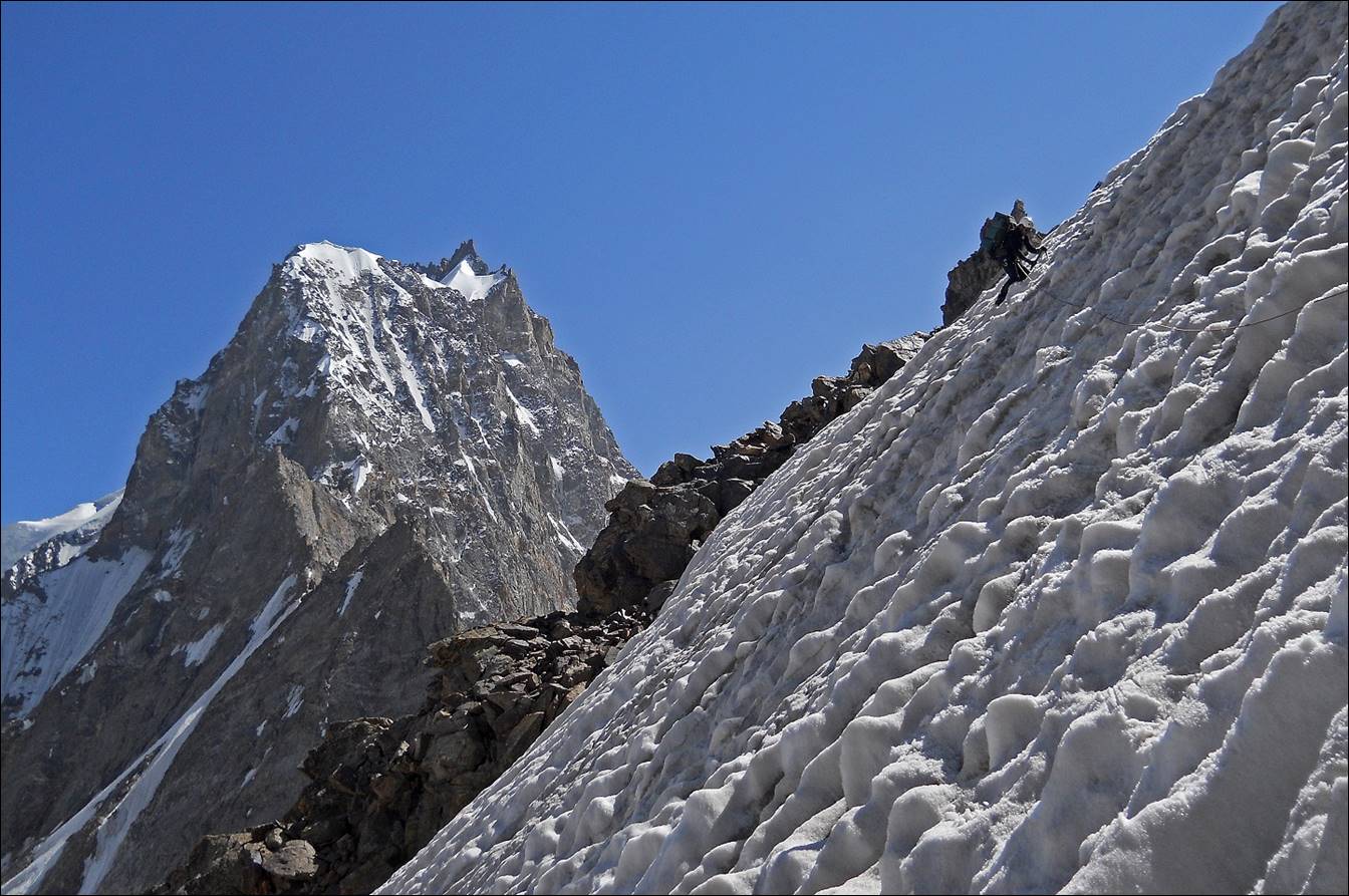
Slava on another
section of the descent.
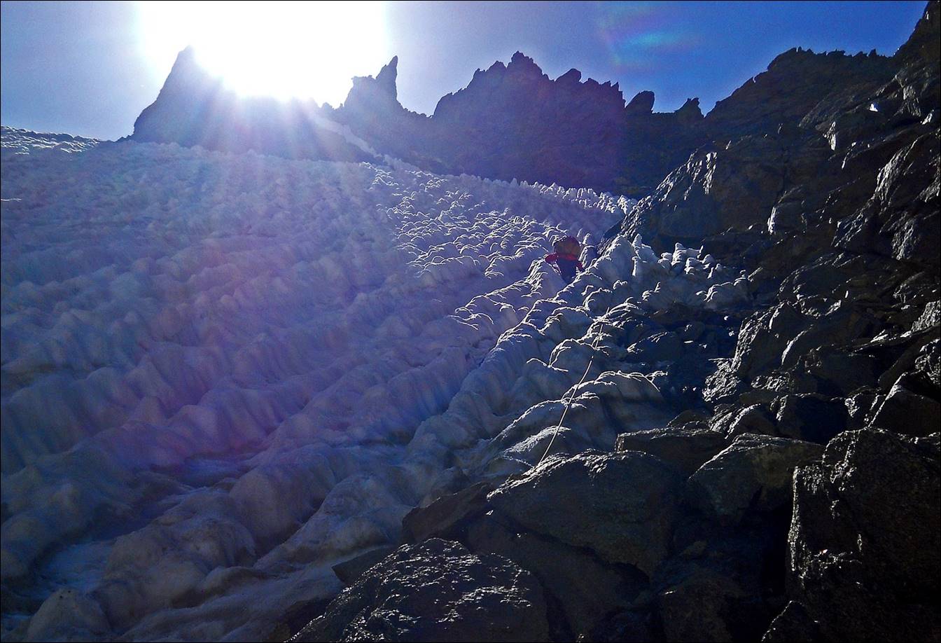
Grazing sunlight on
the snow during the descent.
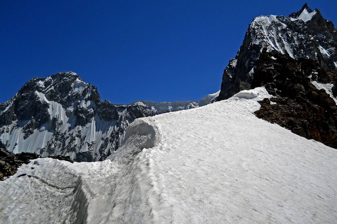
Reaching the base of the pass.
Left: looking back at Shurovskogo pass. Right: our
route from the pass.
|
|
|

The following picture is a photo that
I took in 2005.
Thanks to a much better snow coverage at that time, we had followed an ascent
route leading to a lower point of the pass.
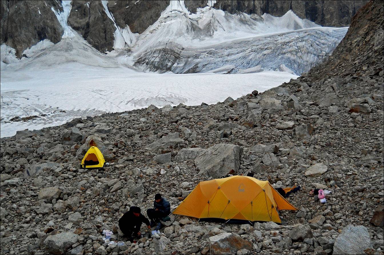
Our camp on the moraine above the Kshemish glacier and below Shurovskogo pass. We
dubbed this camp the ″fakir″ camp for its obvious lack of comfort.
View toward the east from our camp at
sunset.
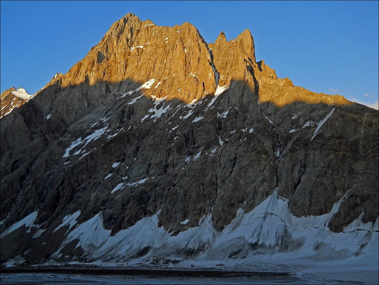
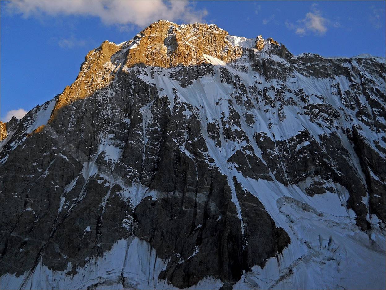
Peak Kshemish Bashi (5290m) seen at sunset (first photo below) and in the
morning (second photo) from our campsite.
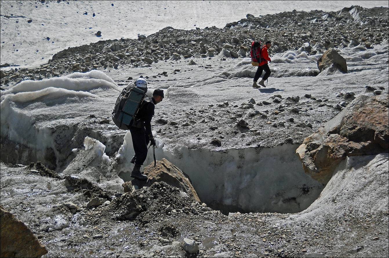
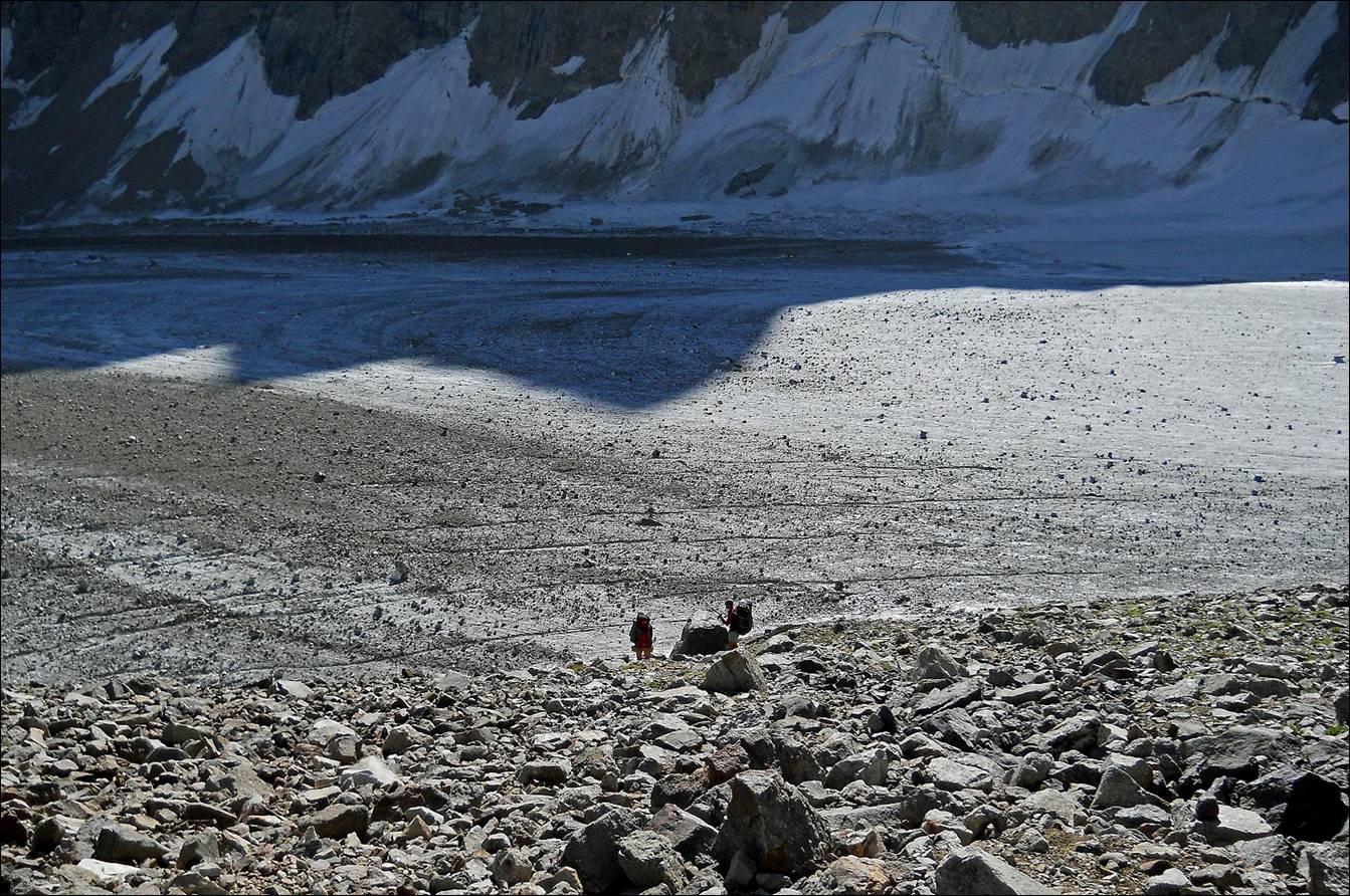
Maksim and Slava
reaching the lower part of the Kshemish glacier below
our campsite.
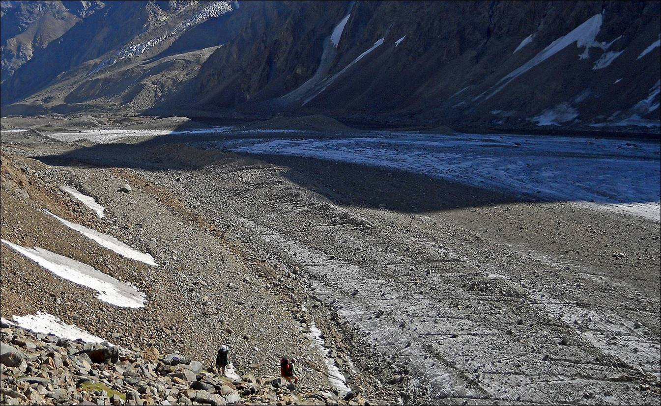
View of Kshemish
valley from below the moraine.
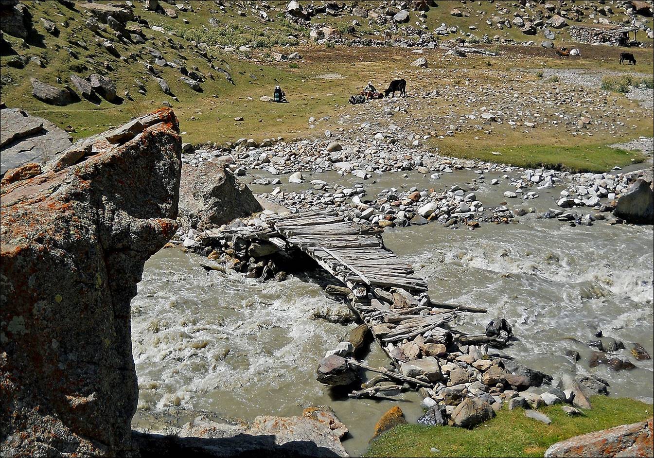
Bridge over the Kshemish
river.
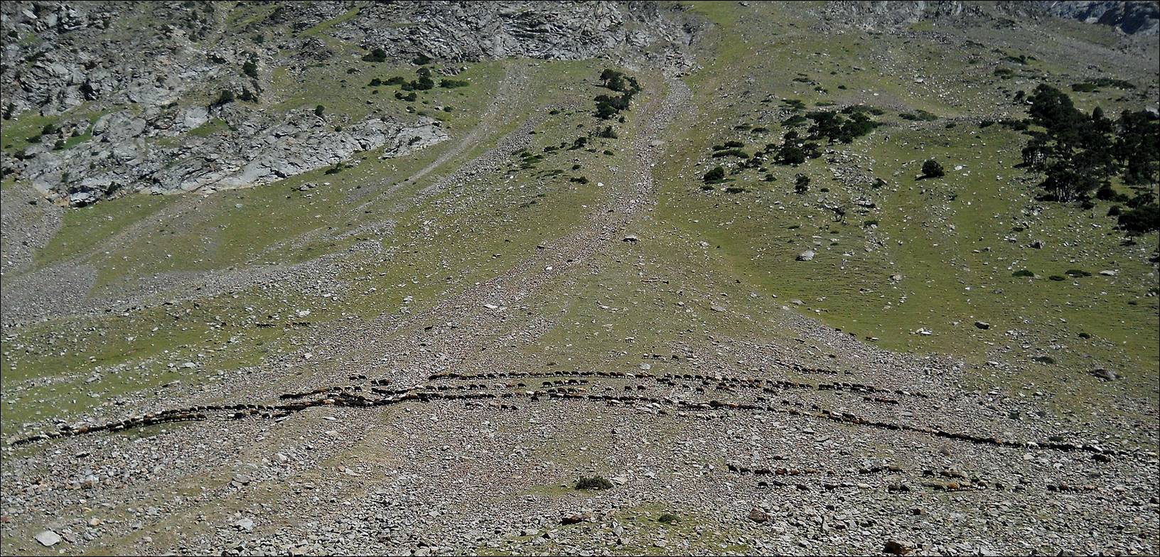
Lines of sheep and goats along the Kshemish river, slightly above the
place where we had our second food delivery.
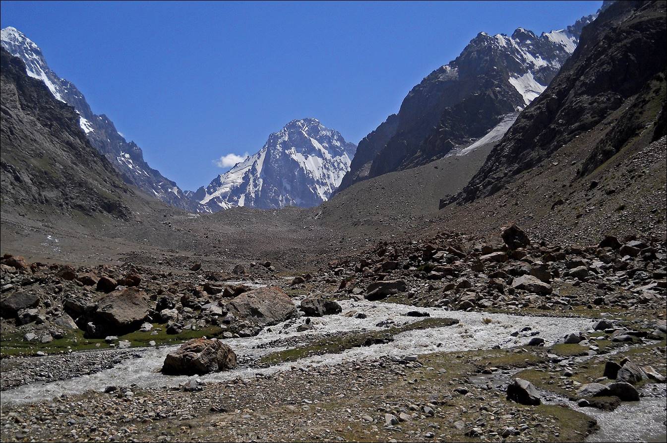
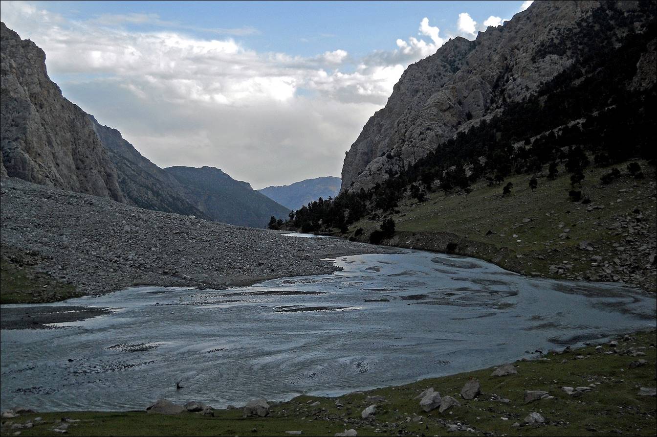
The Kshemish
river seen from the place where we left it to ascend Dvoynoy pass (marked 1.3.6 on the map above). We had set up
a camp there. The photo was taken in the evening and is aimed toward the north.
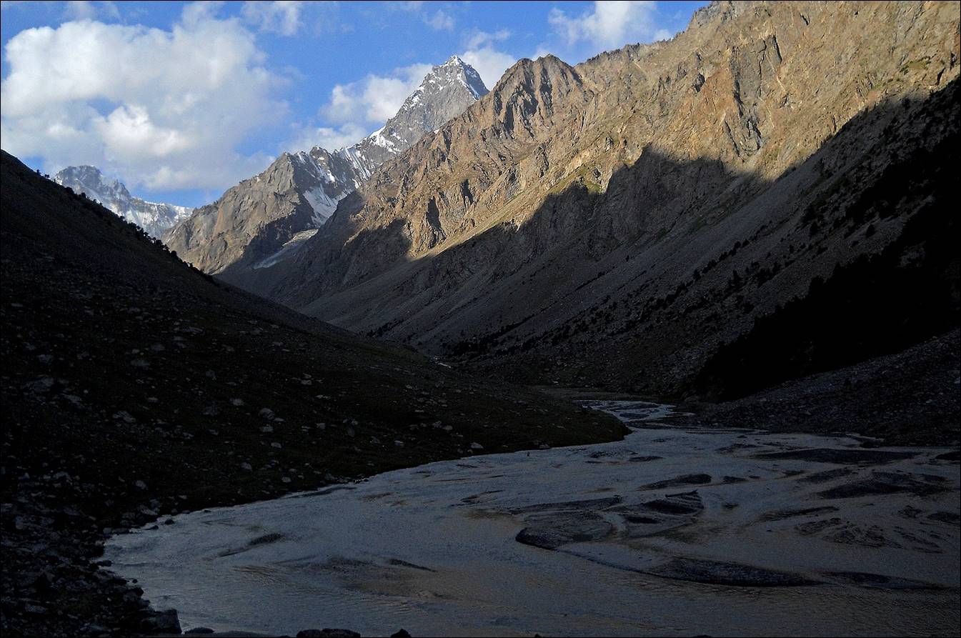
View (toward the south) of the Kshemish river on the next morning,
as we were leaving our camp.
![]()