Day 1/5 of the White Mountains
traverse, California and Nevada, United States,
June 27th - July
1st, 2022
![]()
Return to main Whites +
Sierra 2022 trip webpage
|
|
GPS Waypoints of
Day 1 (white-mountains-wp-2022.kmz). |
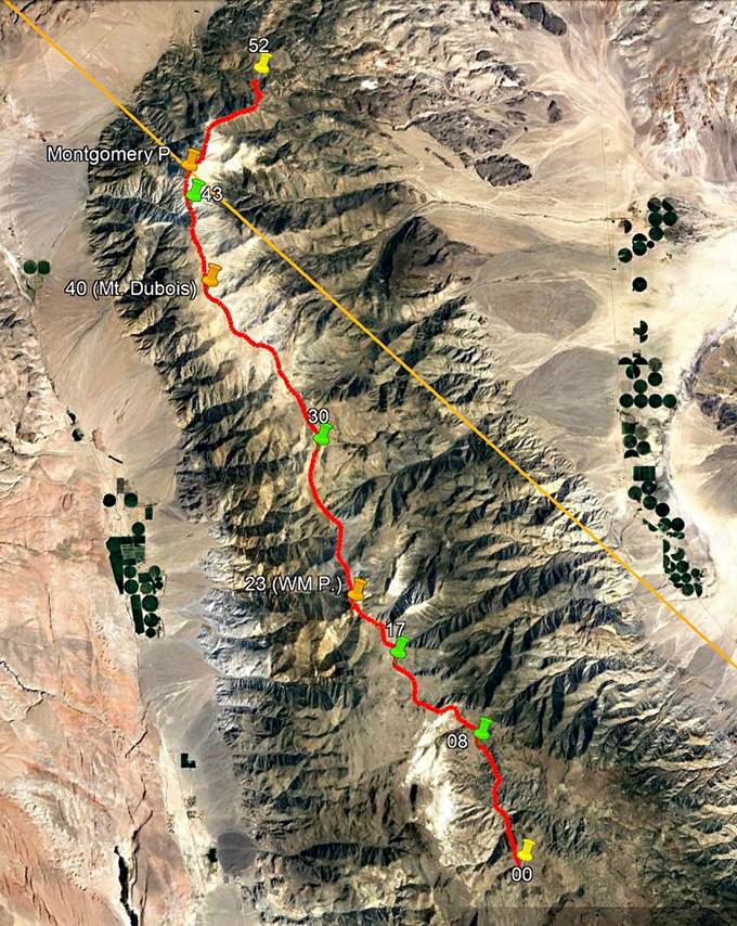
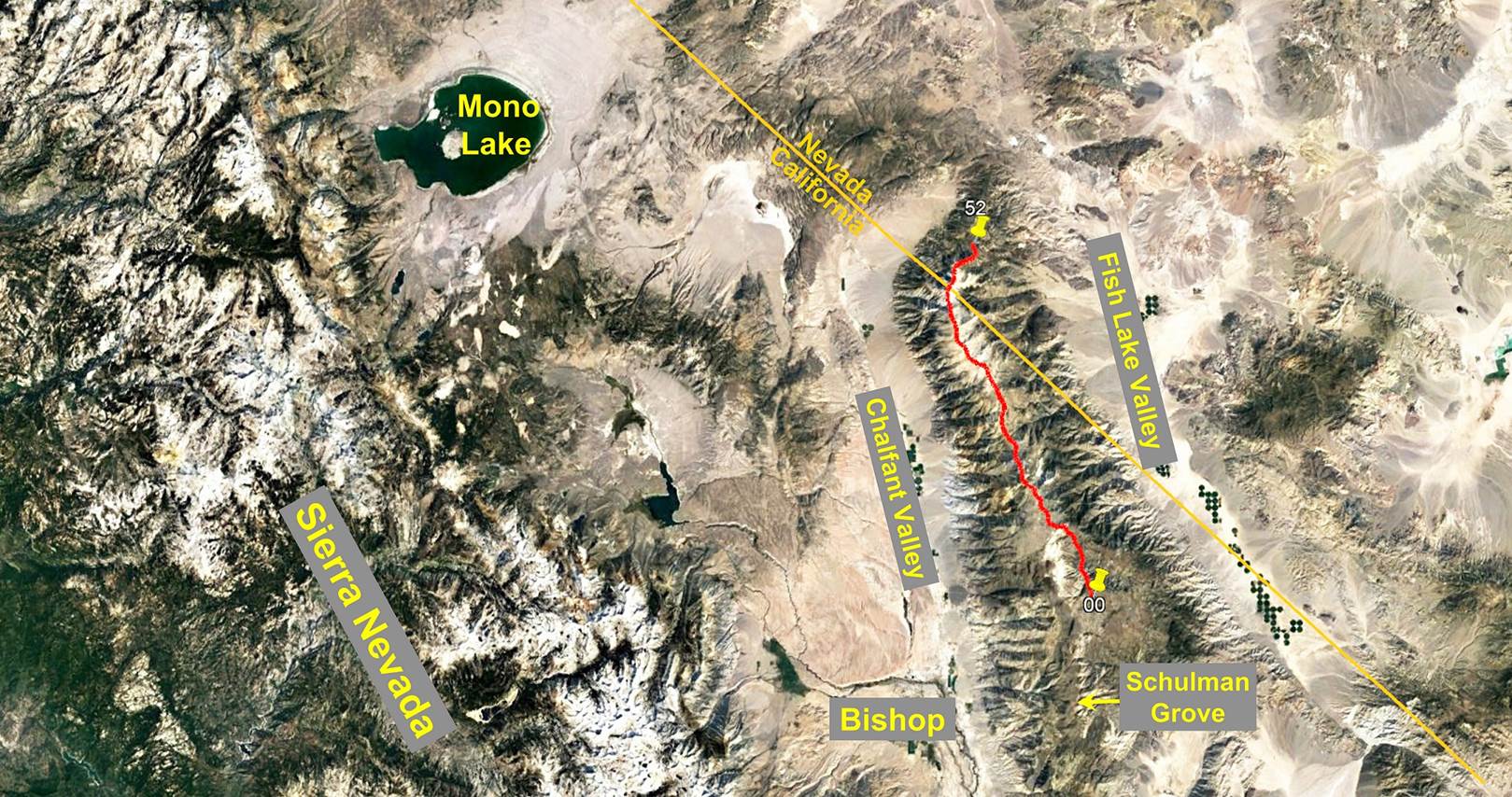
Day 1 of the traverse was the shortest and easiest
hiking day of the traverse. The elevations at waypoints 00 and 08 were 3048m and
3106m, respectively. The highest point of the day was at just 3189m.
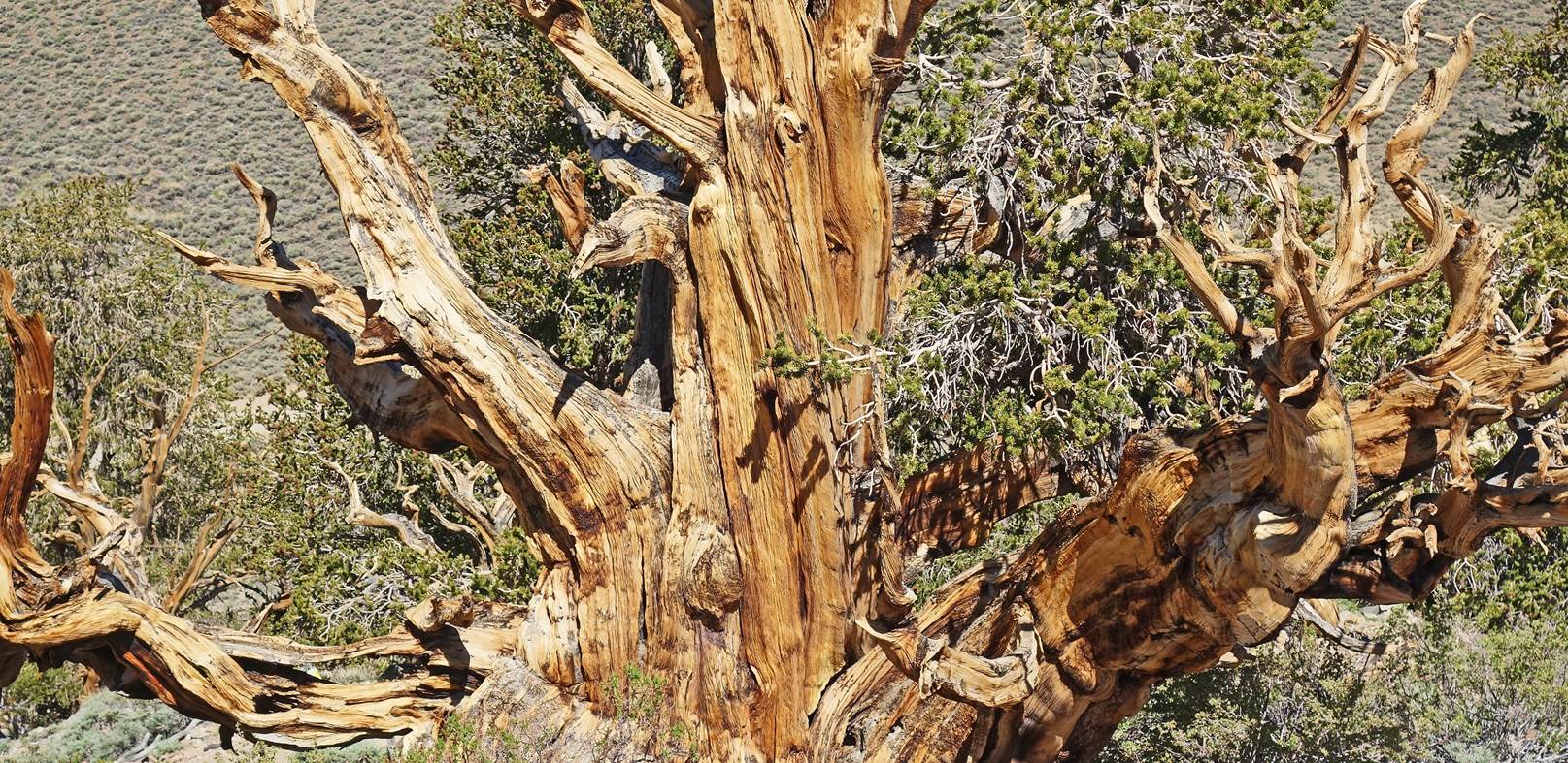
We first drove from the town of Bishop to Schulman Grove in the southern part of the White
Mountains. This is a grove of ancient bristlecone pines,
some of which are nearly 5000 years old and still living. We stopped there for
a while to see some of these trees as most of the traverse is at elevations too
high for such pines to grow. We then drove to the start of the traverse on dust
roads, first the White Mountain Road, then a road along the North Fork Crooked
Creek. Waypoint 00 is located on this later road, less than 2km past a small
research-workshop facility operated by the University of California (the
Crooked Creek Field Station).
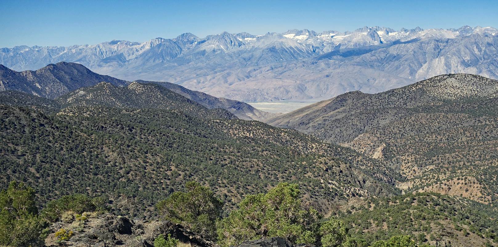
View of the Sierra
Nevada from the road leading to Shulman Grove.
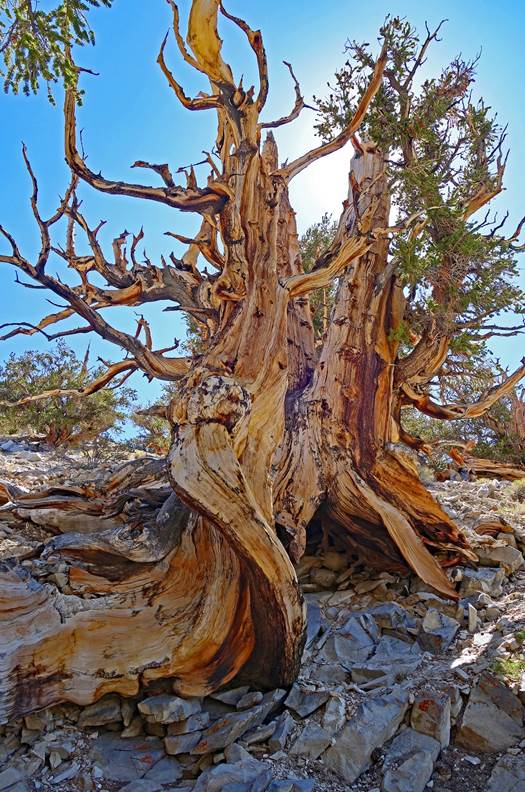
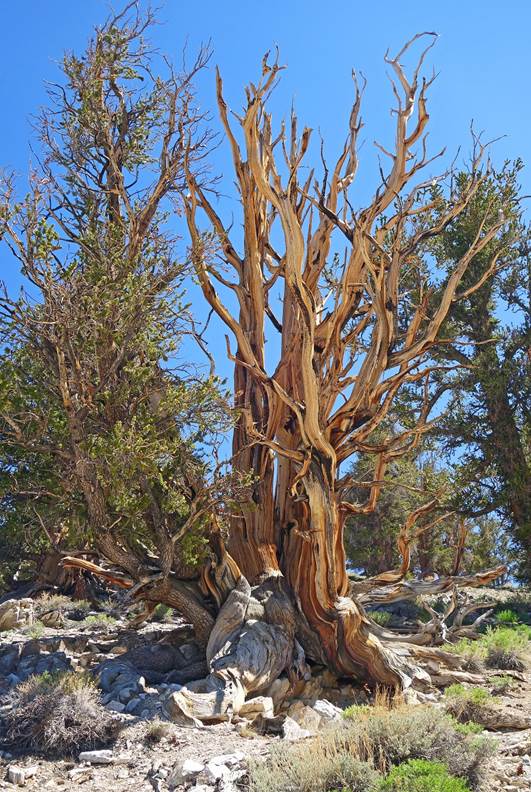
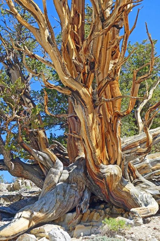
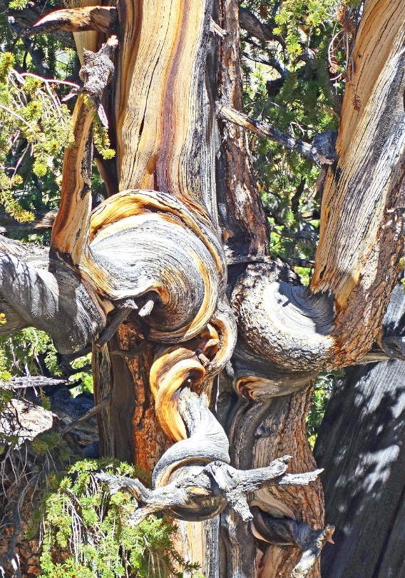
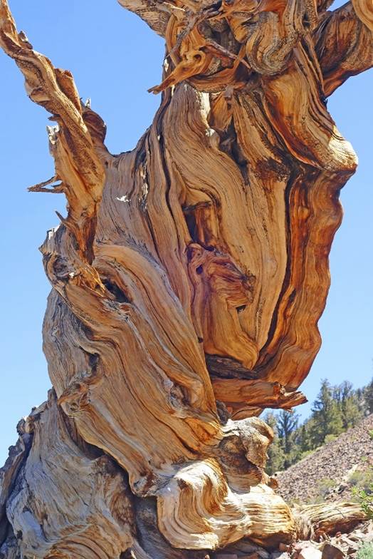
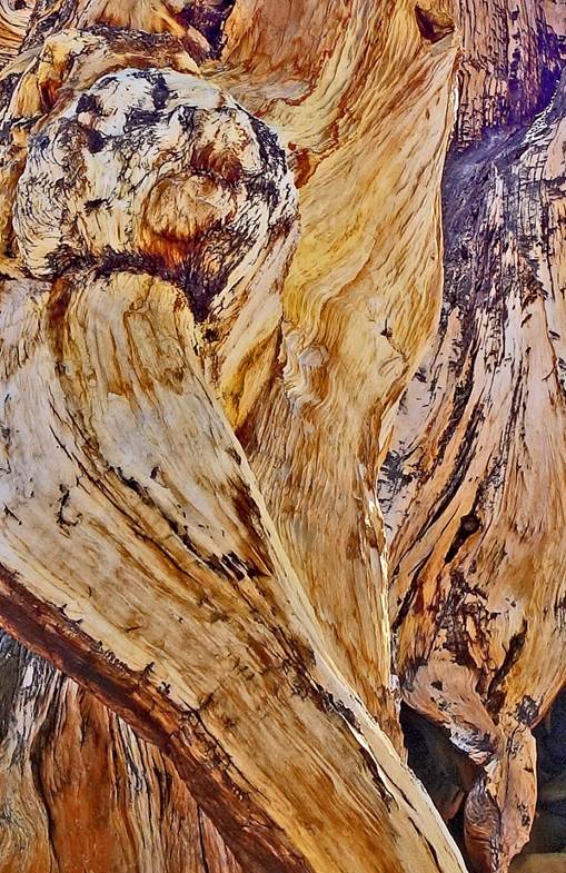
Ancient bristlecone
pines at the Schulman Grove.
|
|
|
|
|
|
|
|
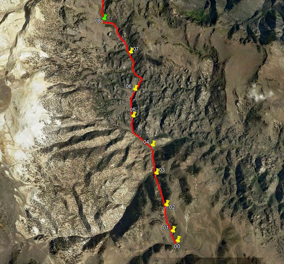
Below are photos
taken between waypoints 00 and 08 of the traverse. They are presented in
chronological order.
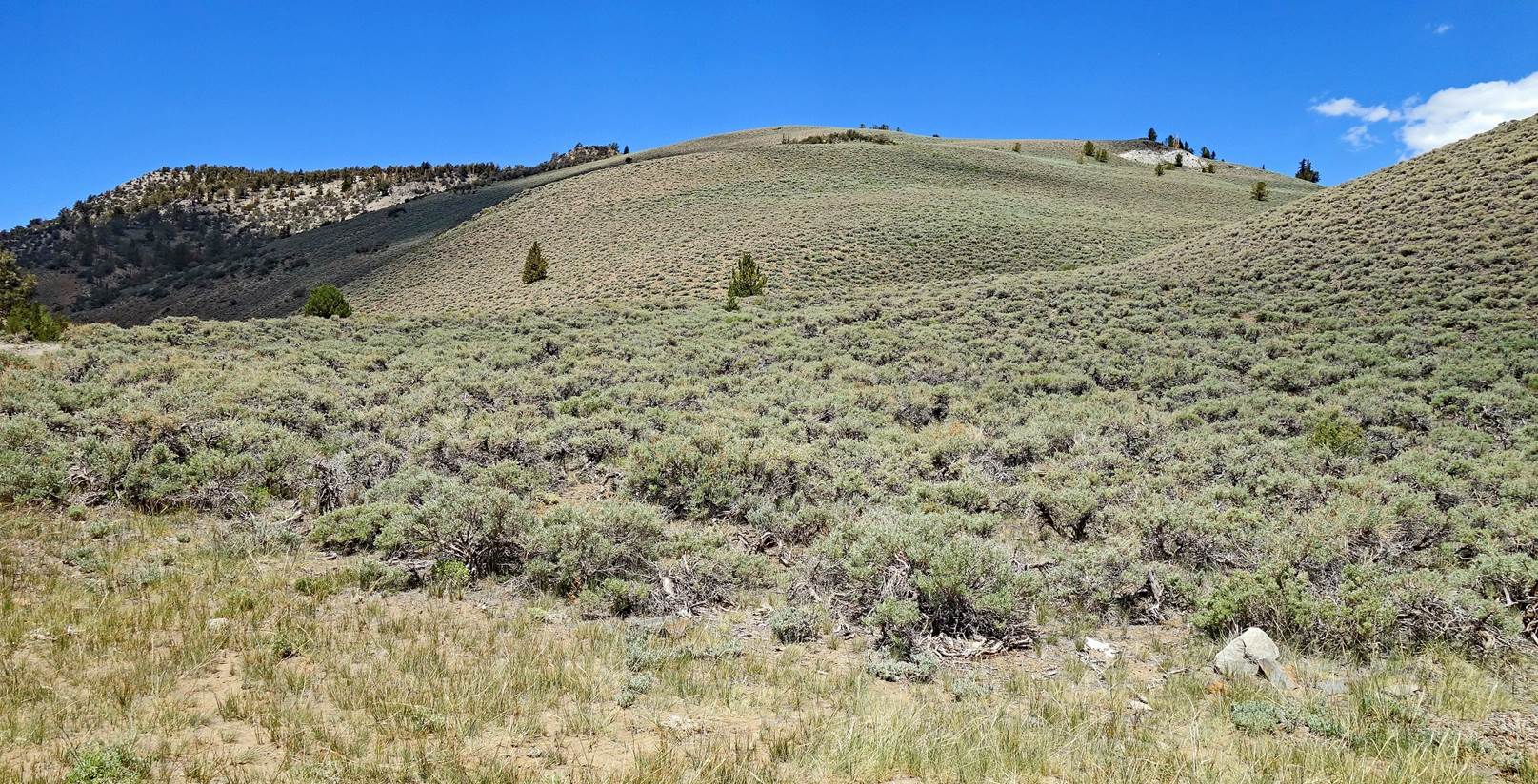
The gentle slope
where we started hiking. No trail, just low shrubs.
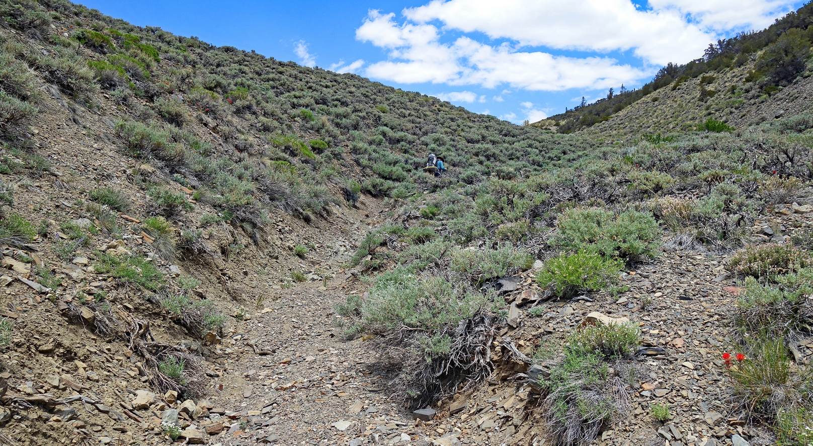
Using a gully as a
trail to avoid hiking among occasionally hard and pointy shrubs.
Looking back toward
the south from the top of the first ridge.
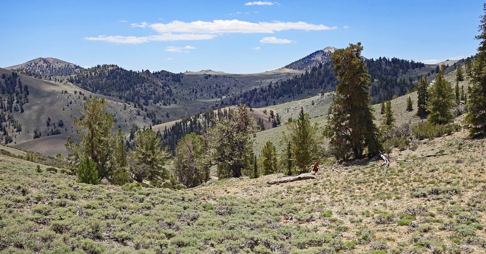
Barren peaks in the
southern part of the White Mountains seen from the same ridge as above. Note
the bristlecone pines in the foreground.
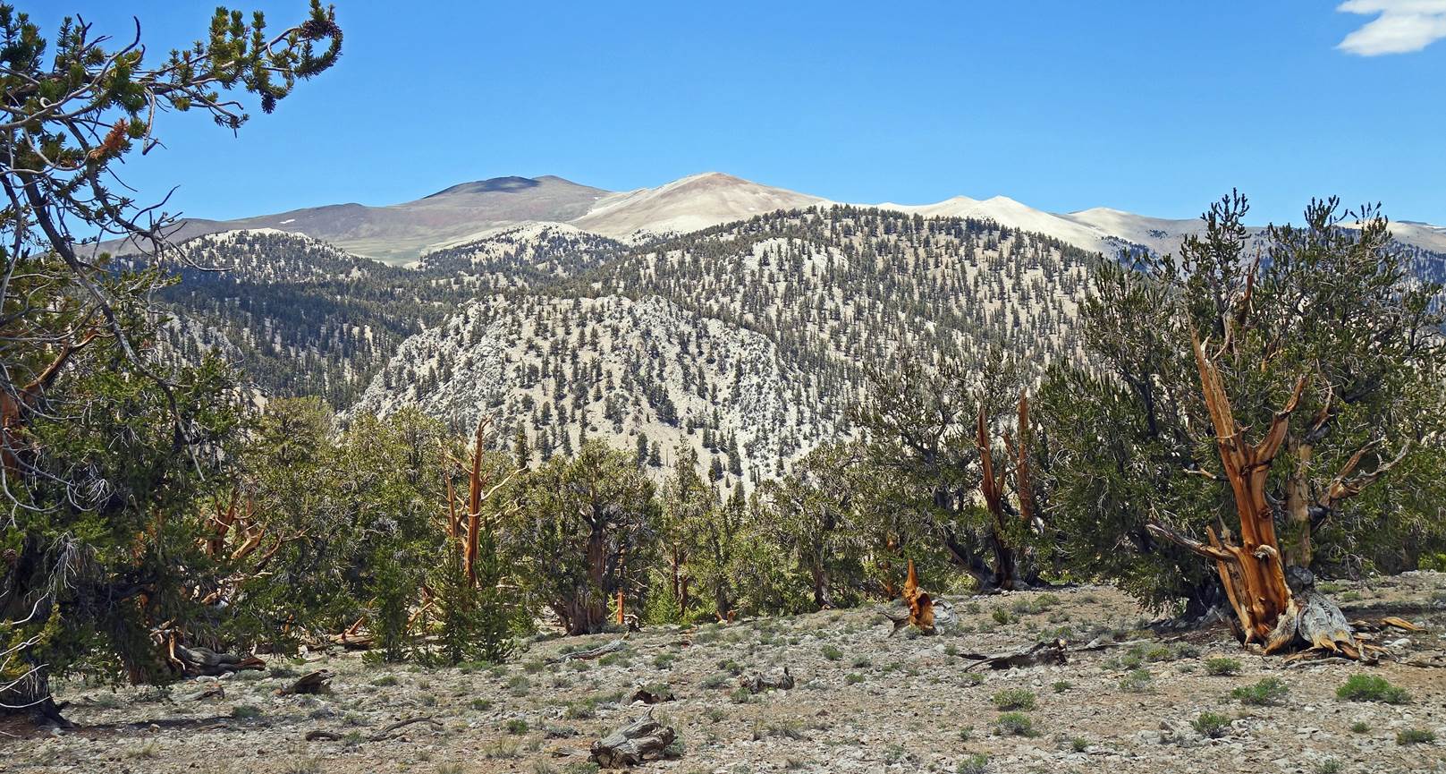
Another view of
barren peaks.
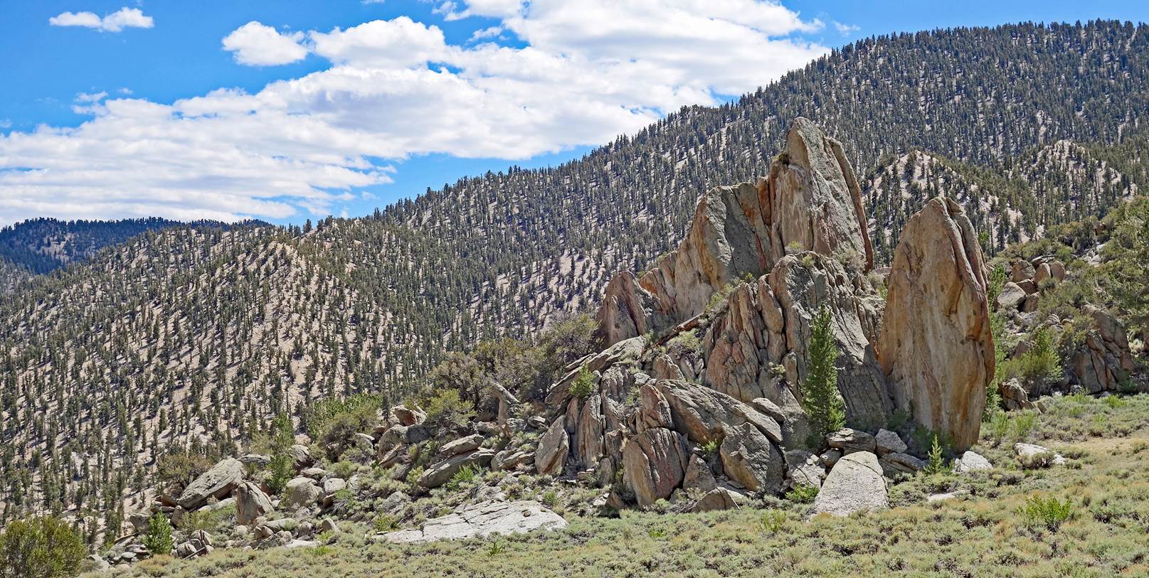
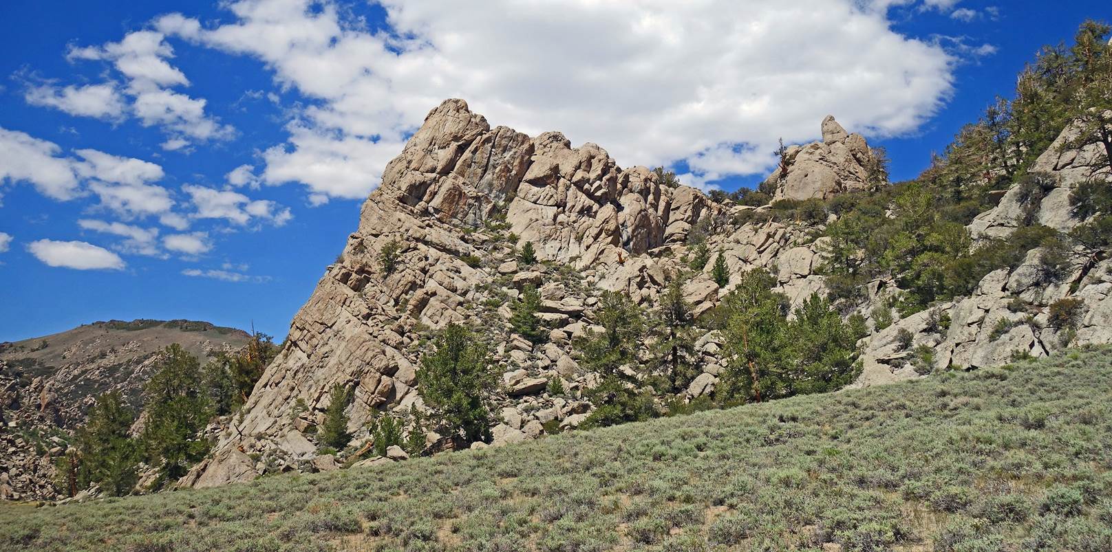
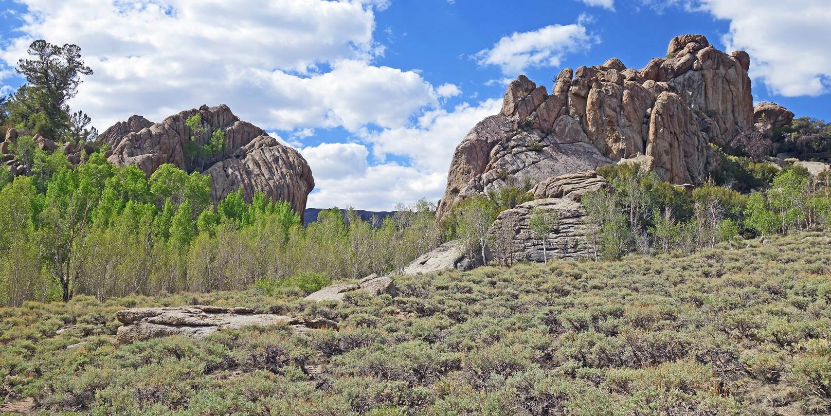
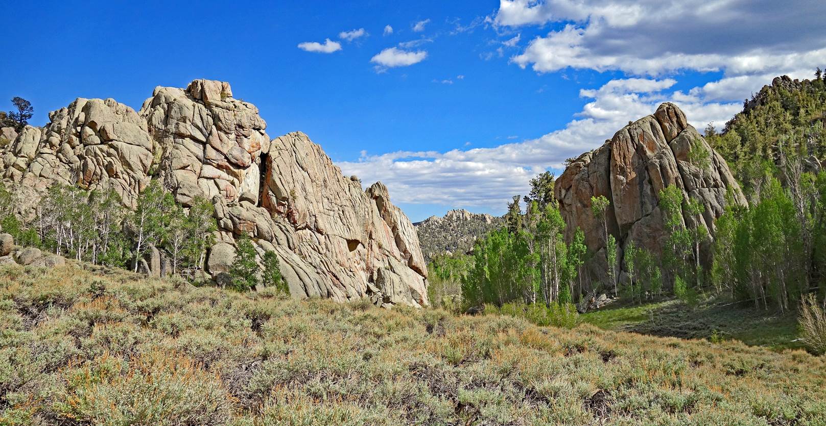
Various rock
formations along the way.
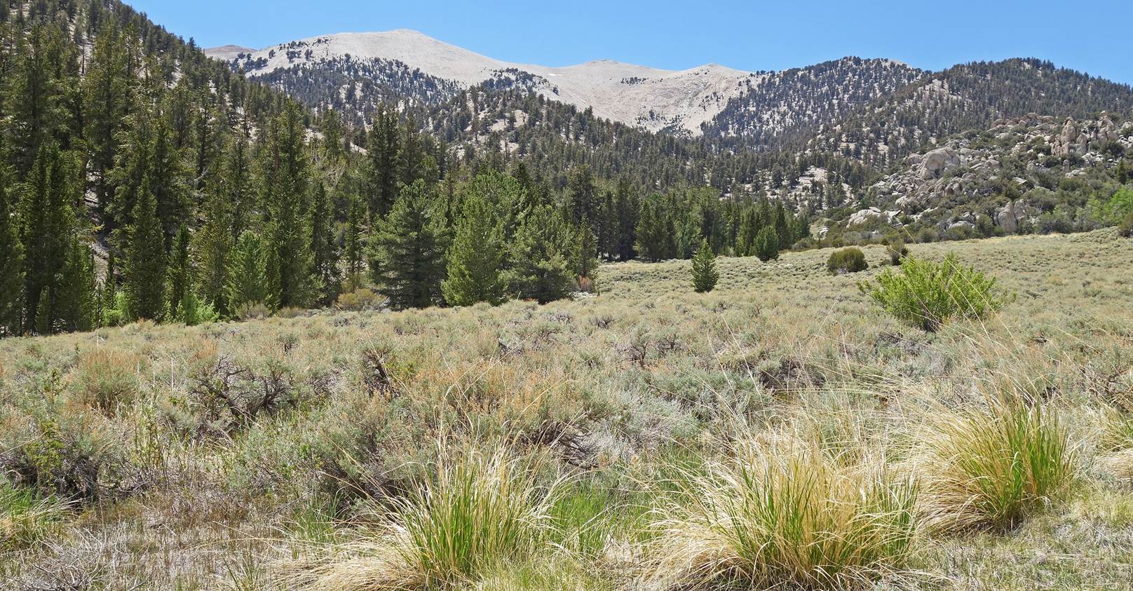
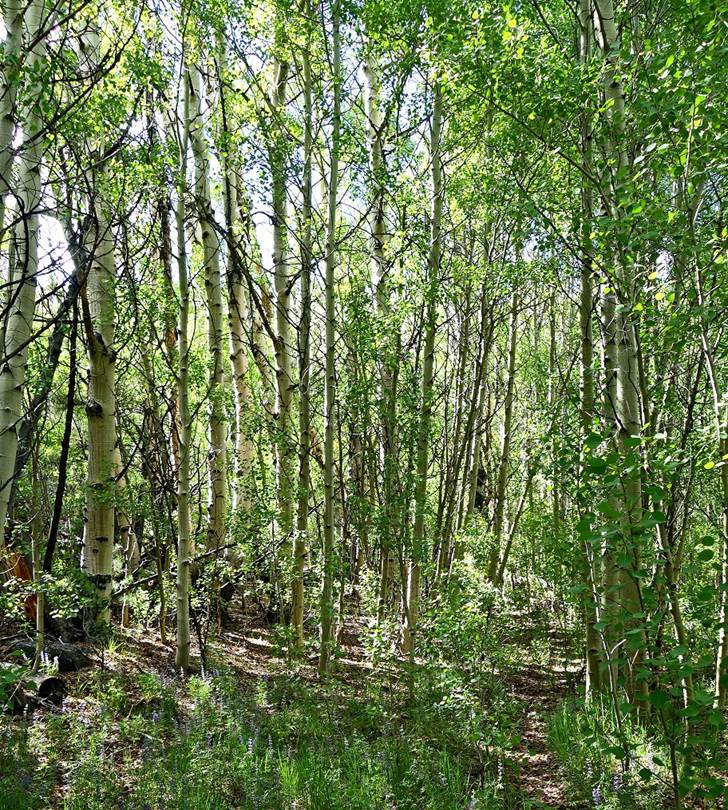
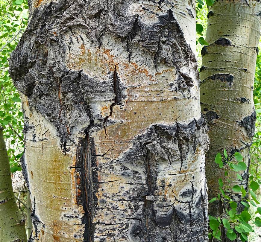
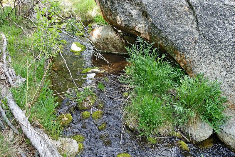
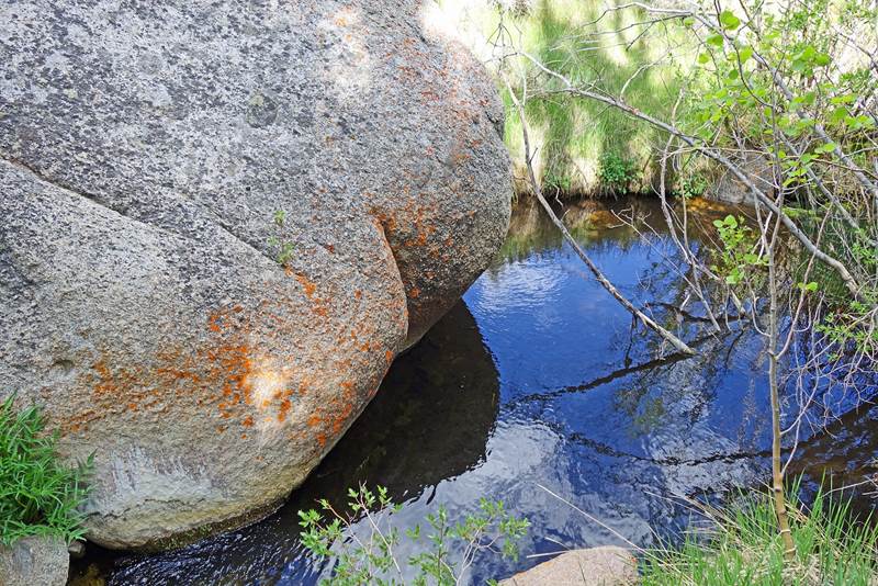
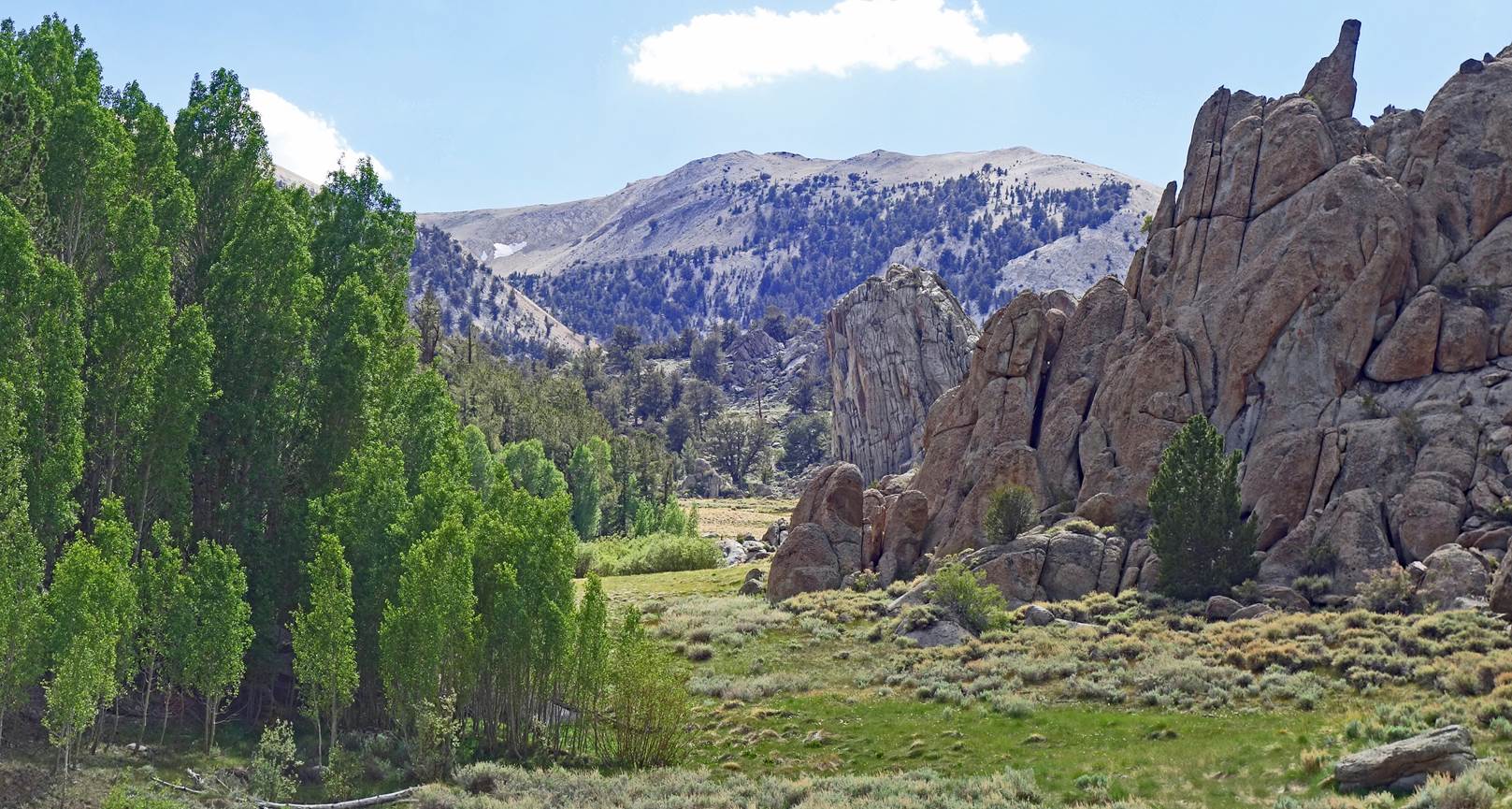
Unlikely green area
with aspens and a clear river flowing through a shaded valley (between
waypoints 06 and 07). This river, the North Fork of Cottonwood Creek, is home
to a rare species of trout, the Paiute Cutthroat trout.
|
|
|
|
|
|
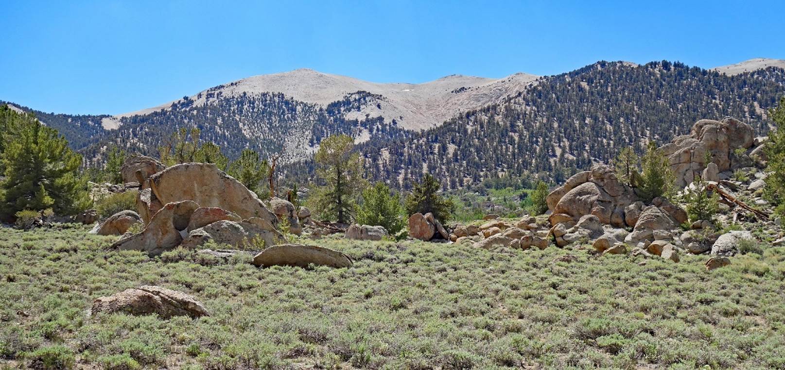
More rock formations.
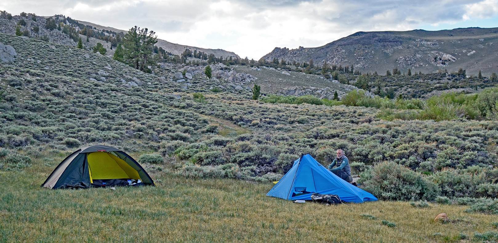
Our camp at waypoint
08 (3106m), with SP sitting next to his tent.
To
directly access the other day-by-day pages of the traverse, click the following
links:
![]()