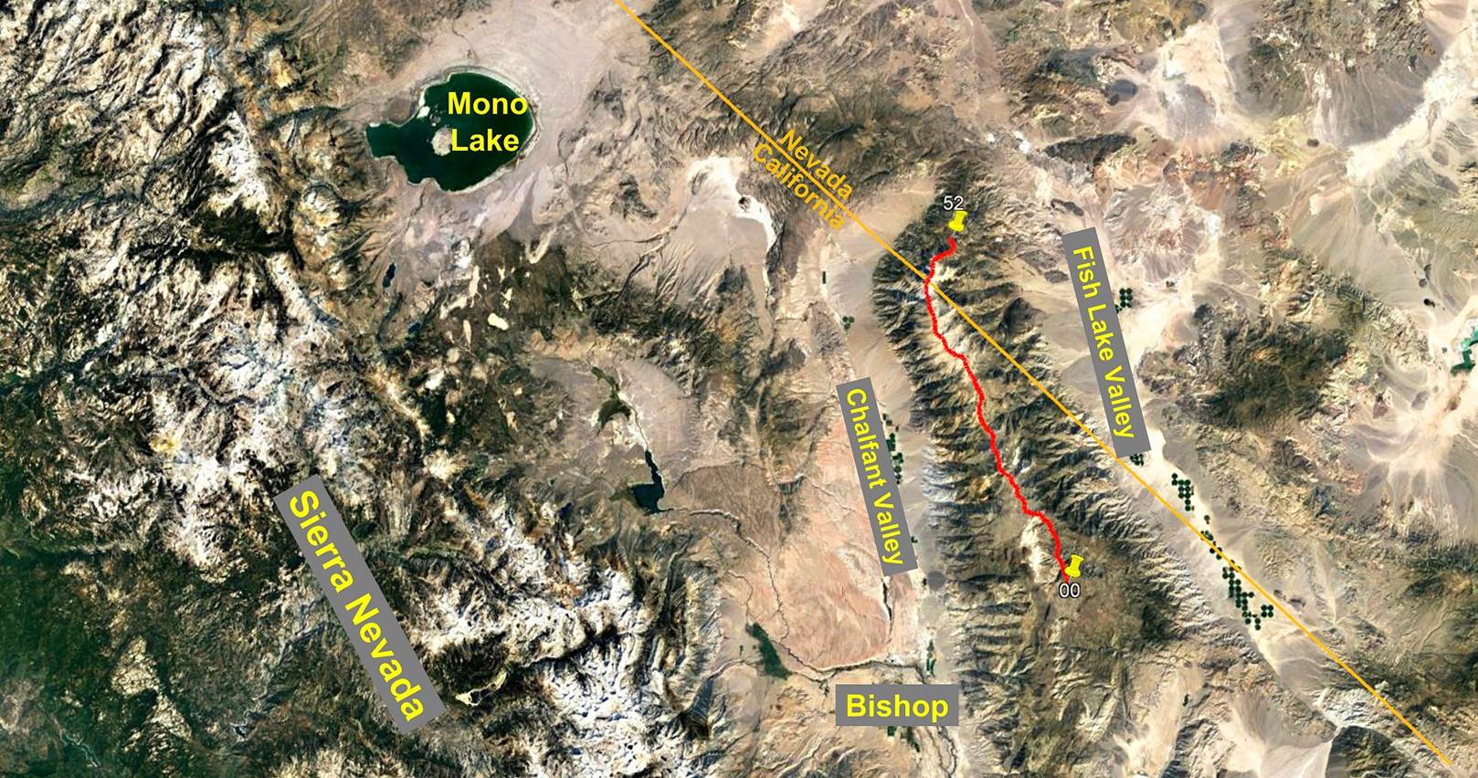
Day 5/5 of the White Mountains
traverse, California and Nevada, United States,
June 27th - July
1st, 2022
![]()
Return to main Whites +
Sierra 2022 trip webpage
|
|
GPS Waypoints of
Day 5 (white-mountains-wp-2022.kmz). |
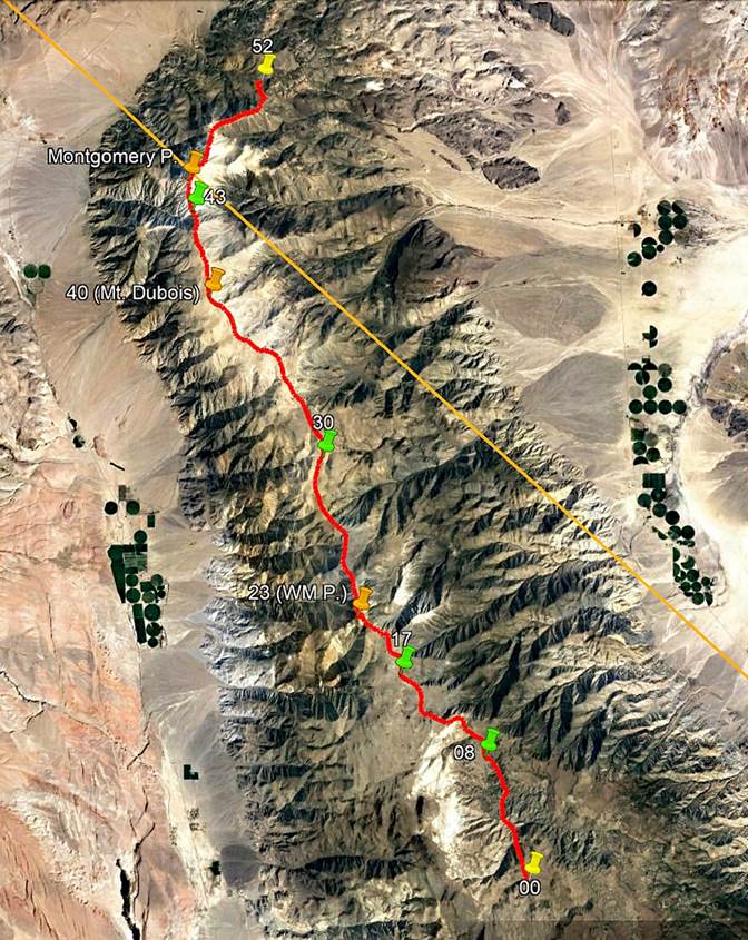
This last day of the
traverse was not as long as the previous two, but it
was still quite strenuous. From our 4th camp at the Montgomery Creek saddle
(3702m), we first climbed the sharp rocky ridge leading to Montgomery Peak
(4099m). We then followed another sharp ridge between Montgomery Peak and
Boundary Peak (4007), the highest point in the state of Nevada. The hike from
Boundary Peak to waypoint 52 was mostly downhill, first on a trail, then after
waypoint 51 on a section of the unpaved Queen Canyon Road. SP had arranged a
car to pick us up at waypoint 52 (located on Queen Canyon Road) and drive us
back to Bishop.
Sunrise seen from our
4th camp.
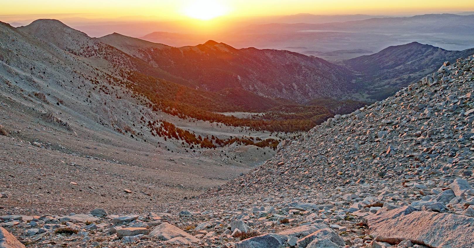
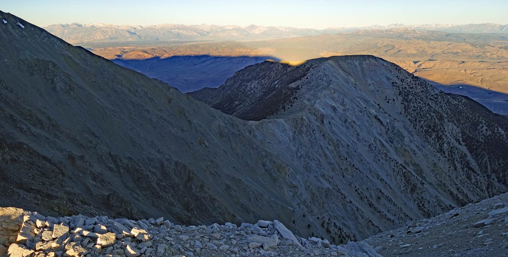
View toward the west
from our camp in the early morning.
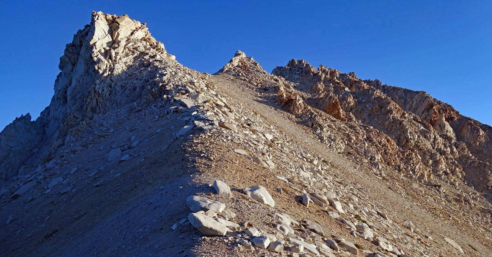
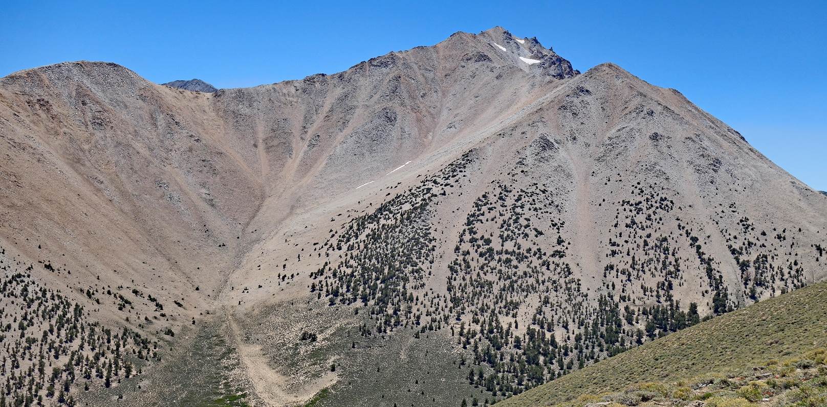
The lower part of the
rocky ridge leading to Montgomery Peak seen from the Montgomery Creek saddle.
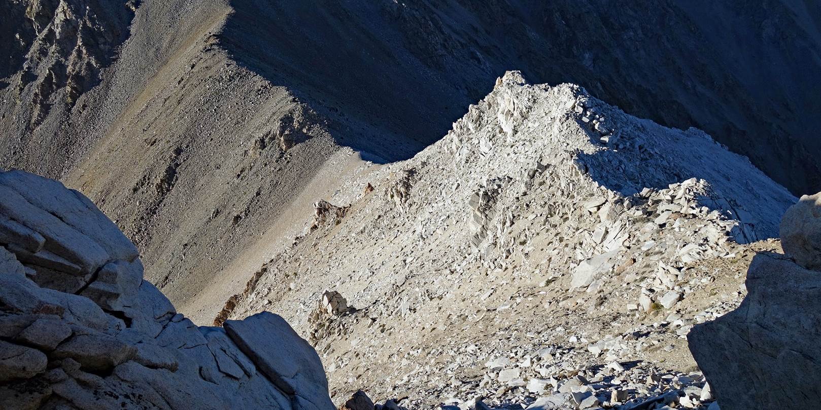
View of the saddle
during the ascent of the ridge.
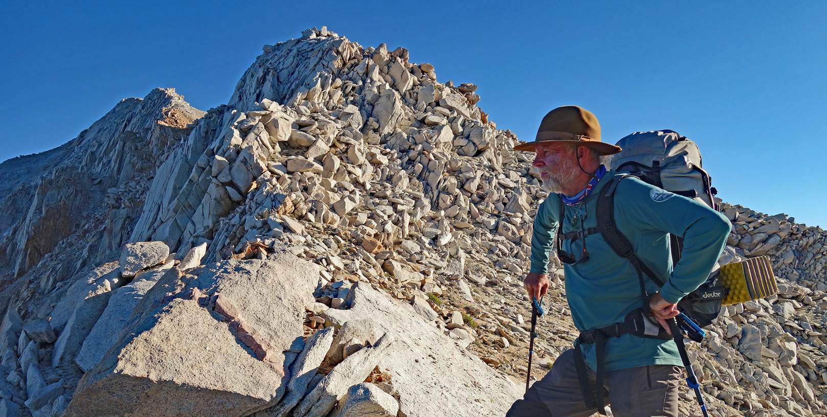
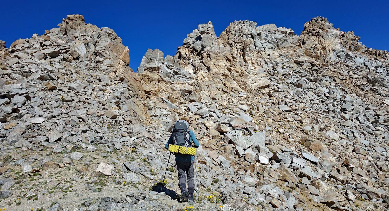
SP on the ridge.
Montgomery Peak is still further up, not yet visible.
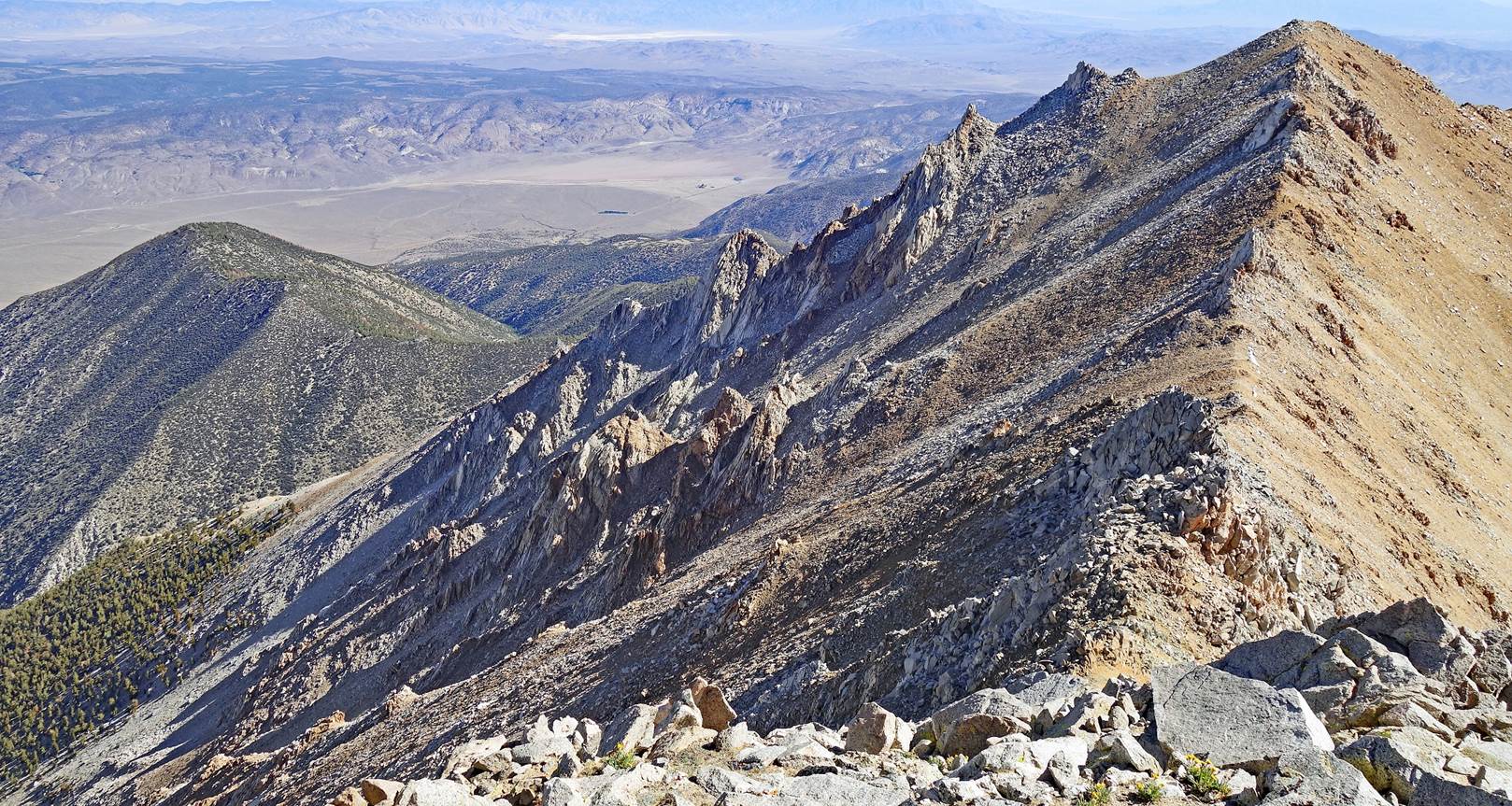
View over the east
side of the ridge.
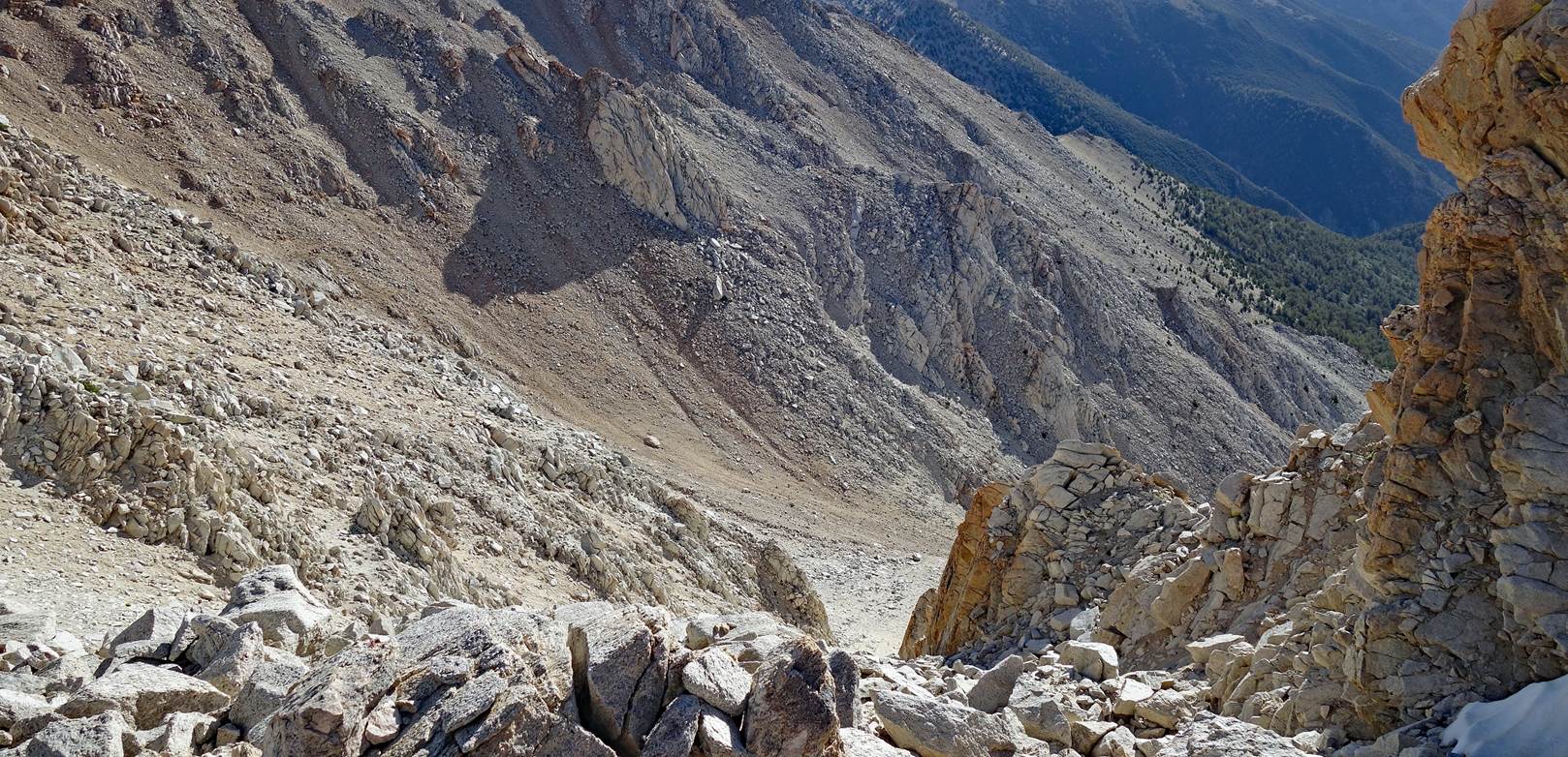
Looking back to The Jumpoff (at the center of the photo).
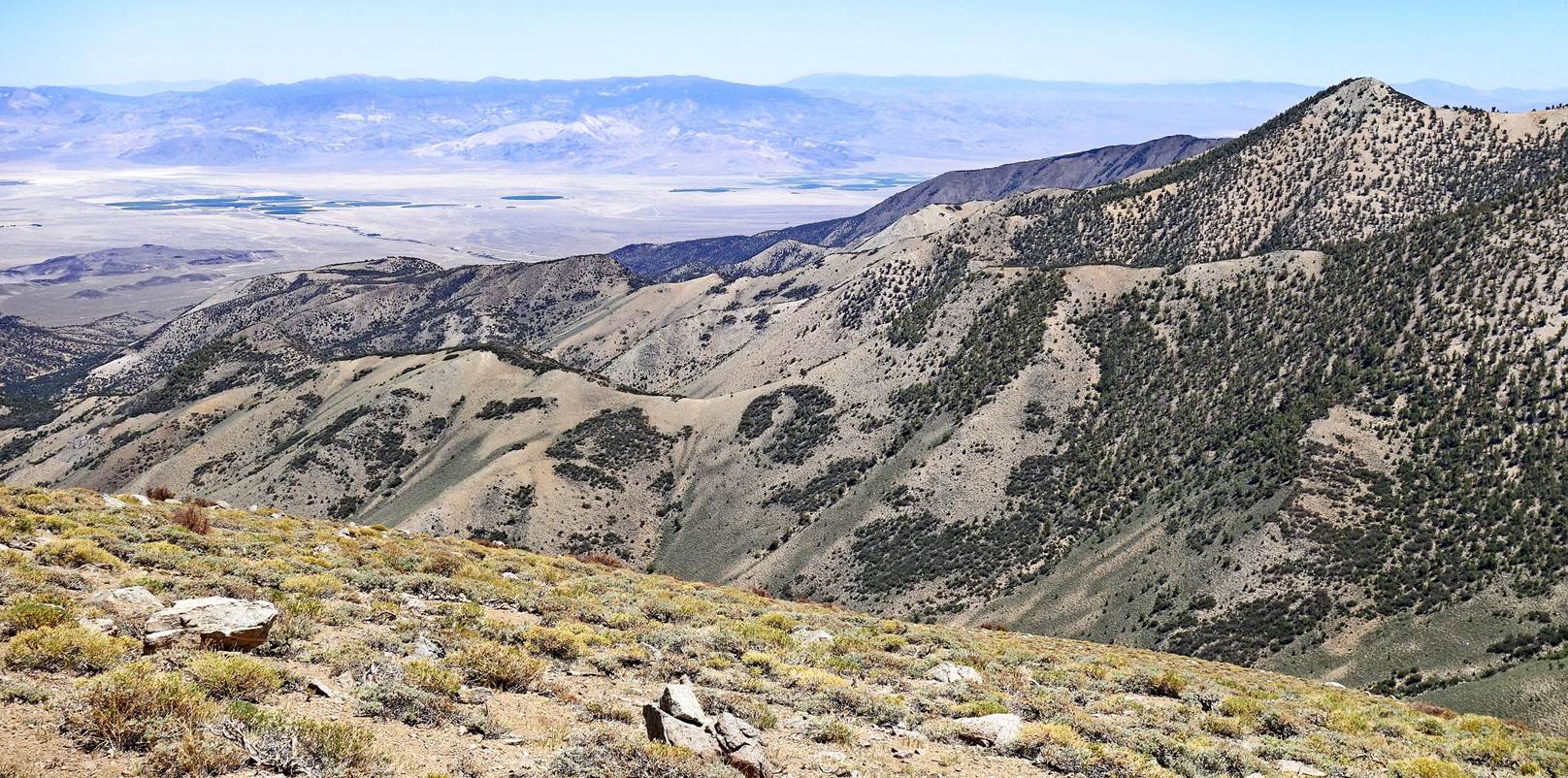
View toward the
northwest from the ridge. The red arrow points to Mono Lake (see map at the top
of the page).
Another view of the
ridge and The Jumpoff.
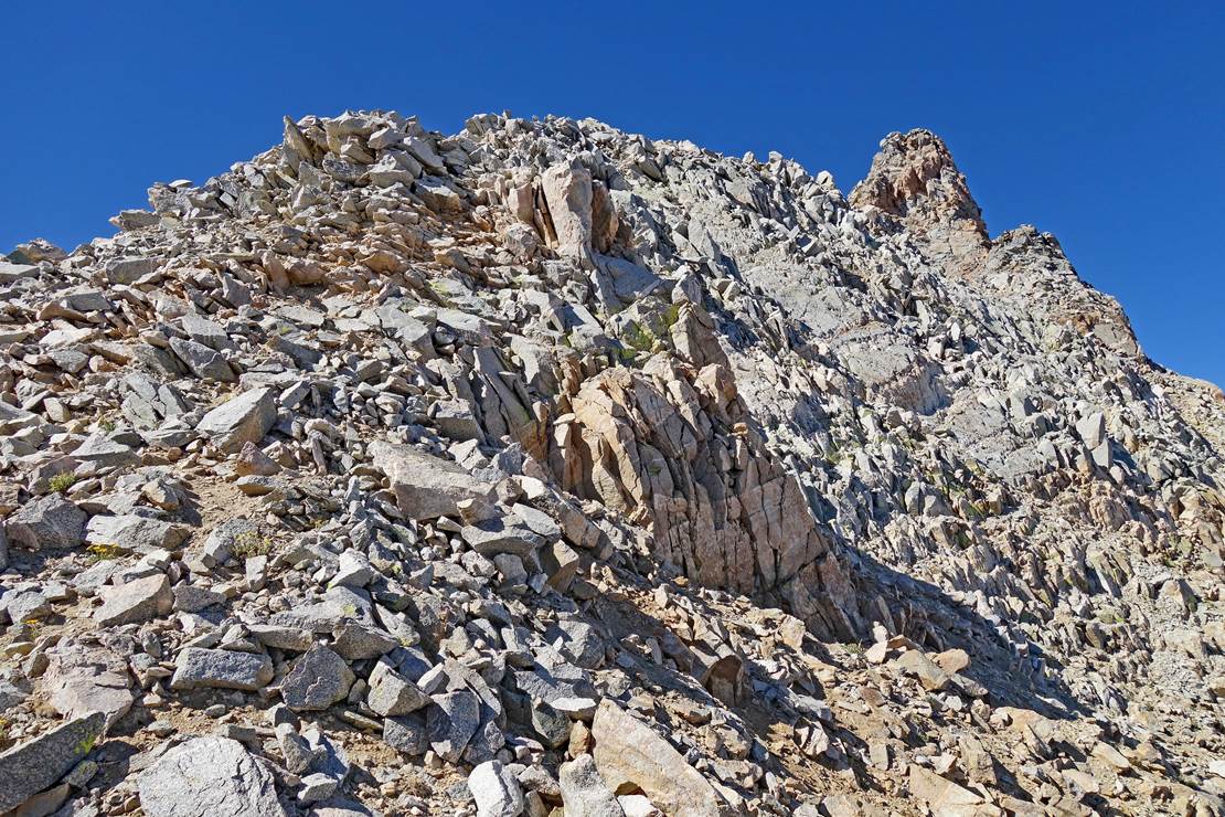
Upper section of the
ridge, with the summit of Montgomery Peak visible in the top-right corner of
the photo. At this point, I felt very tired and I
chose to skip the summit. I cut under the summit to reach the ridge joining
Montgomery Peak to Boundary Peak. SP made the last part of the ascent alone.
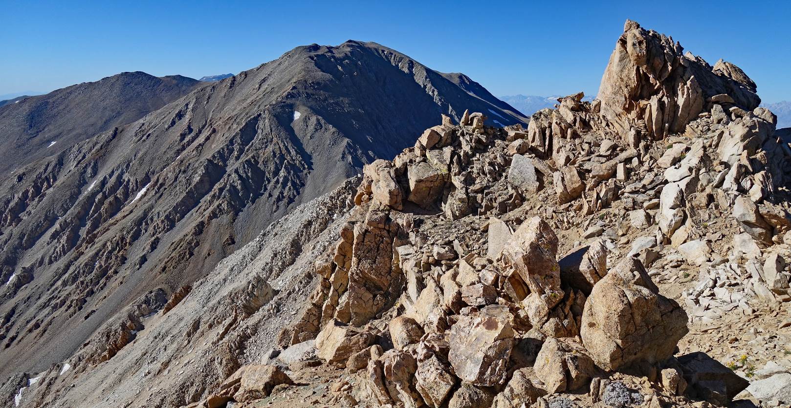
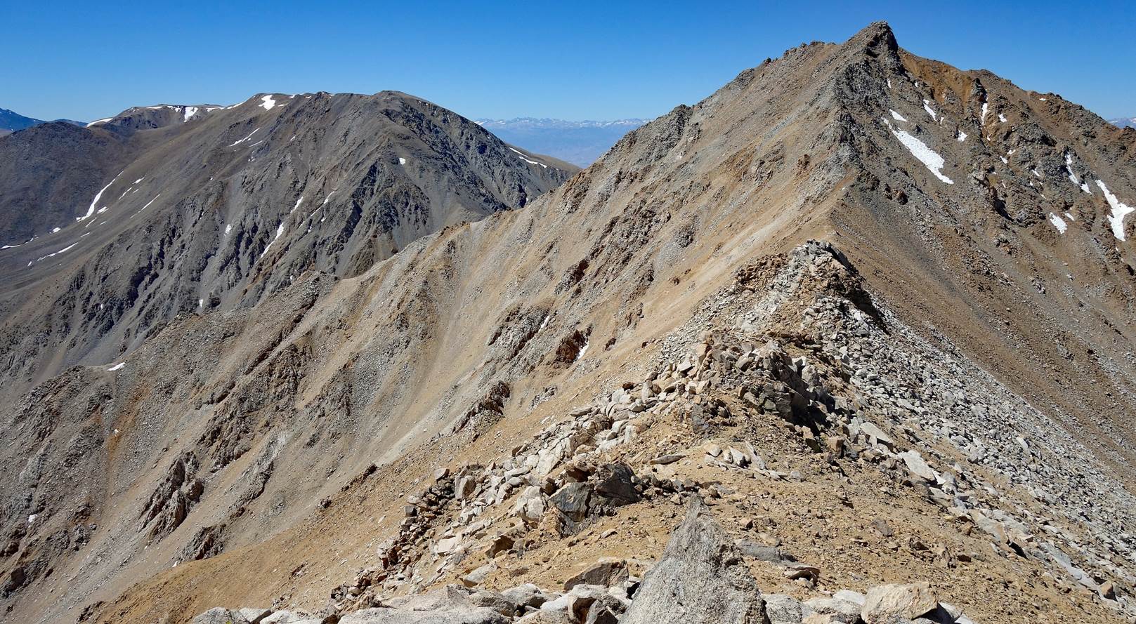
On my way to the next
ridge, with Boundary Peak on the right. The ridge descends first to a saddle
and then climbs to Boundary Peak. The saddle is roughly on the border between
the states of California and Nevada, with Boundary Peak being in Nevada.
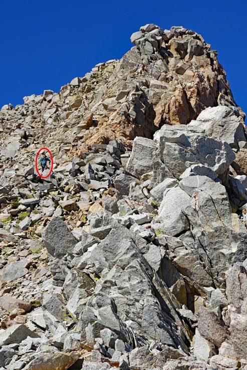
Left: SP (circled in
red) descending from Montgomery Peak along the ridge between the two peaks.
Right: The same ridge seen from further down (with Montgomery Peak on the
right).
|
|
|
Reaching the saddle
between the two peaks.
Views from the
saddle:
- toward the west,
- and toward the
east.
Montgomery Peak (on
the right) and The Jumpoff (on the left) seen from
the saddle, with a small section of the Sierra Nevada visible in the
background.
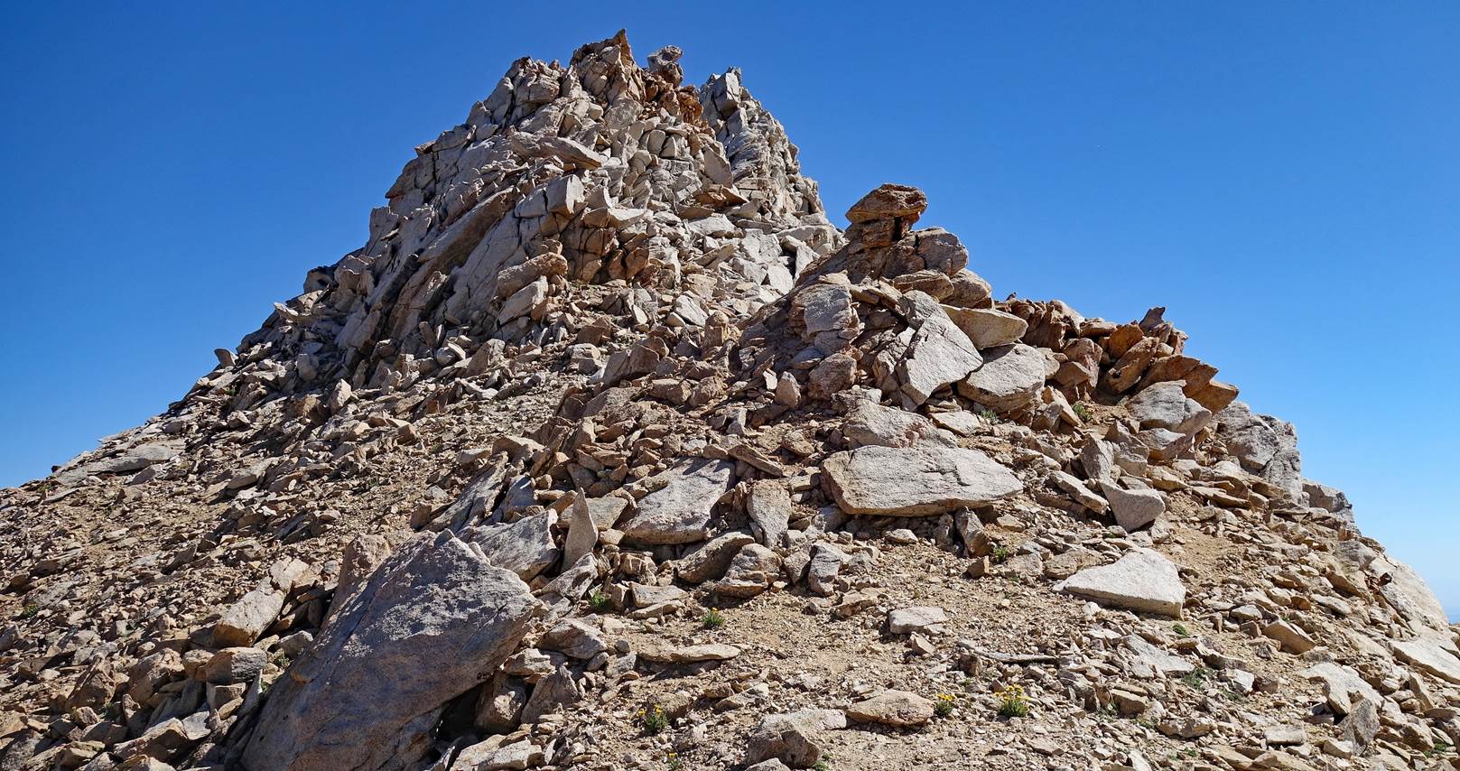
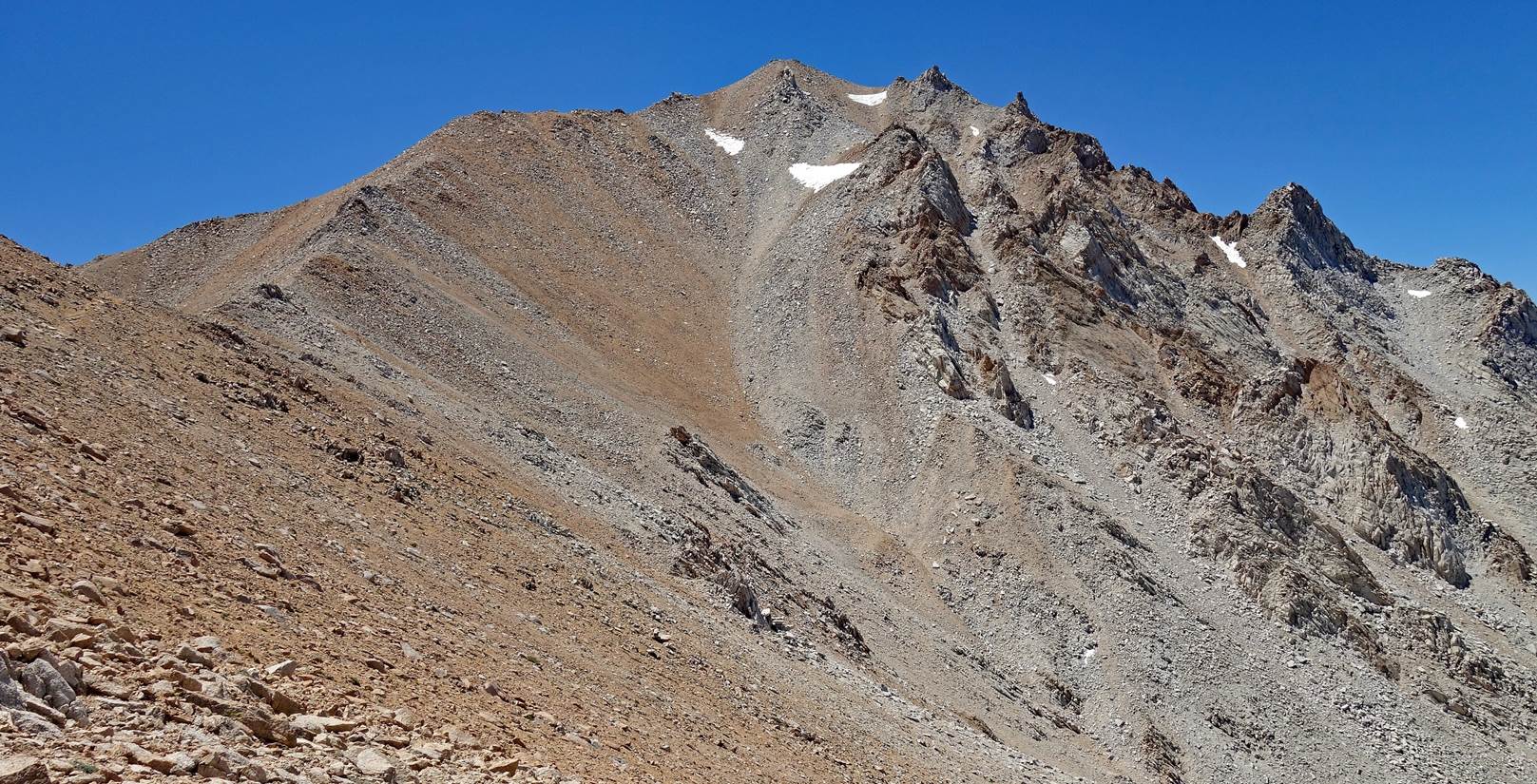
Summit cone of
Boundary Peak.
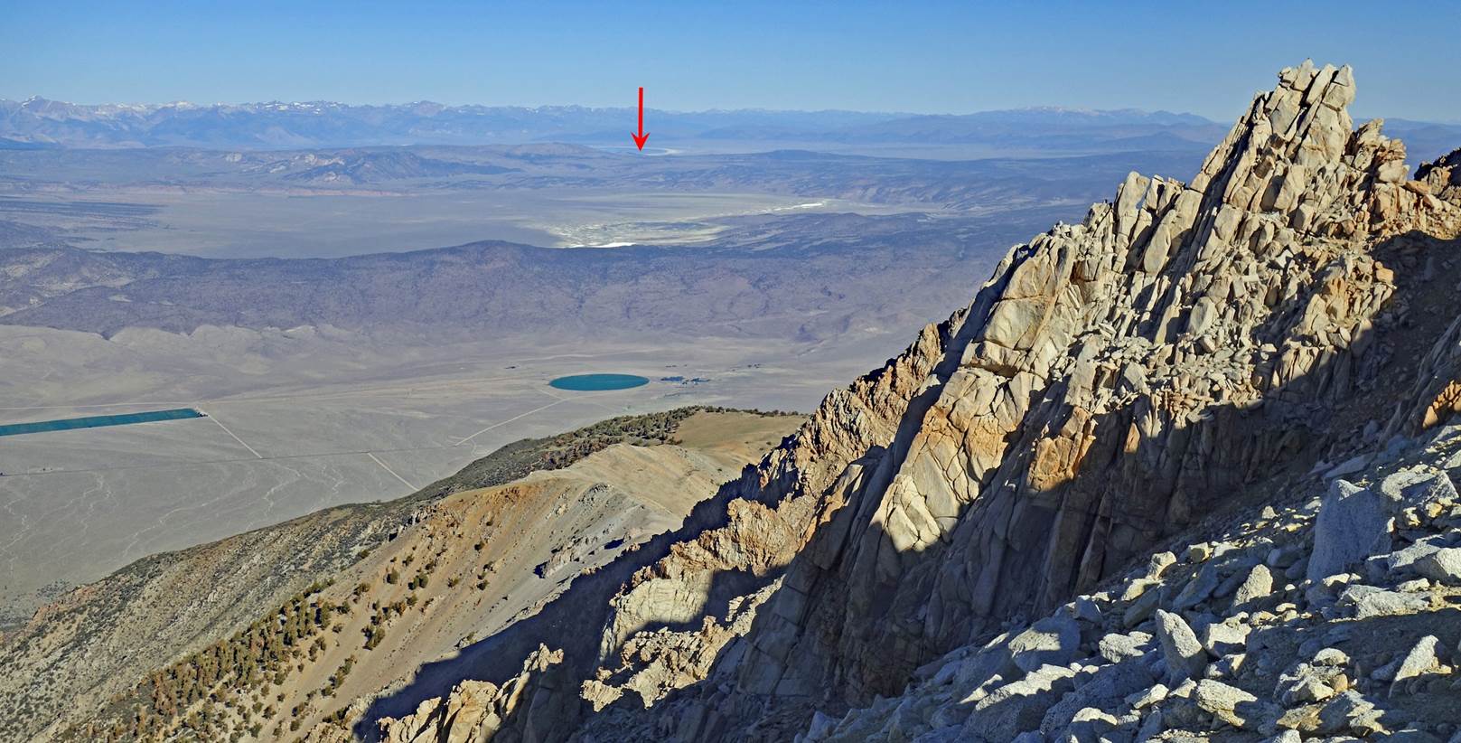
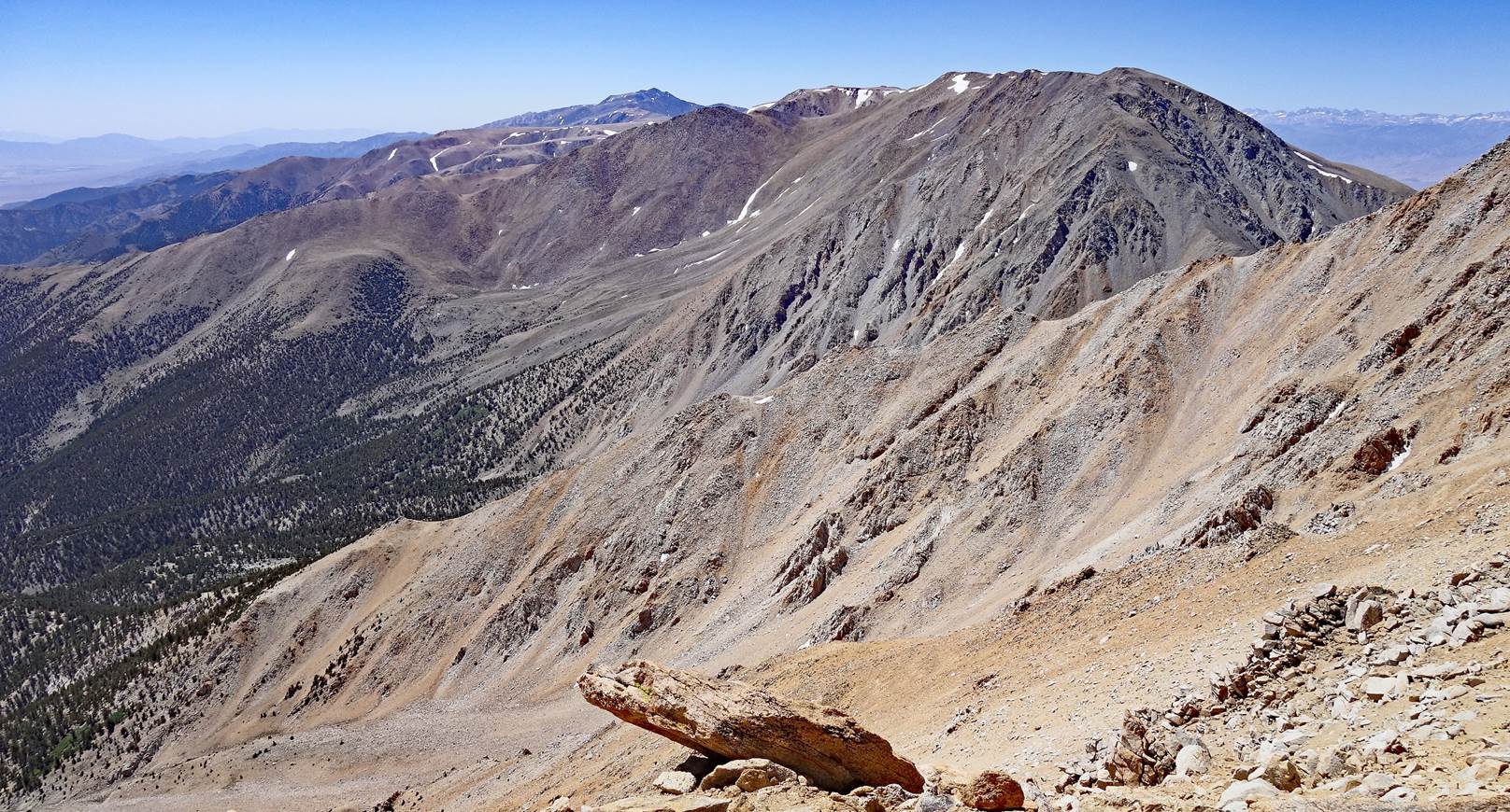
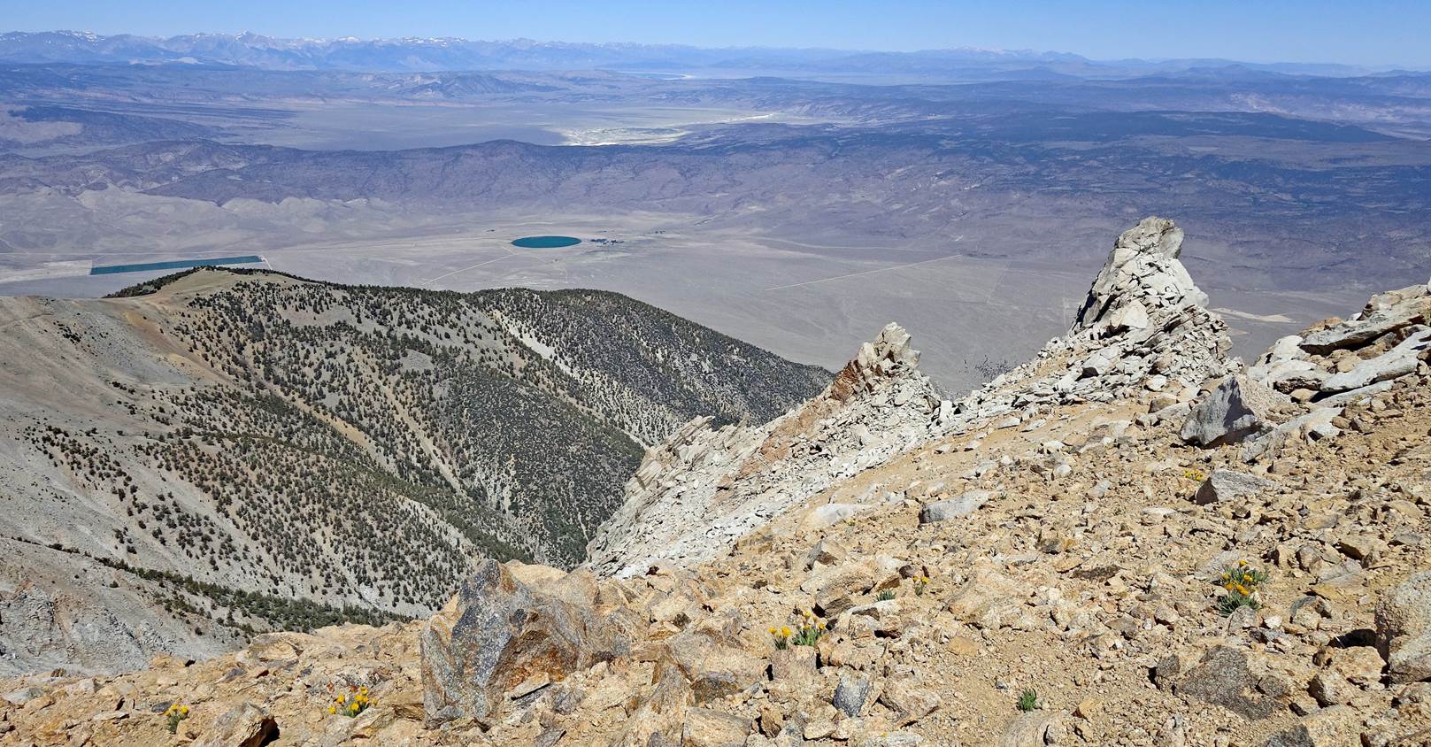
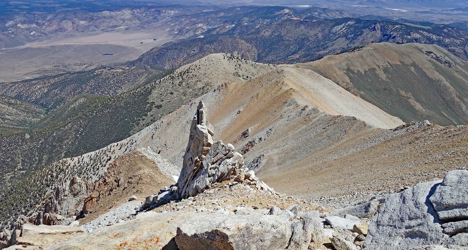
Views from the summit
of Boundary Peak:
- toward the south
(White Mountain Peak is visible in the background at the center of the photo),
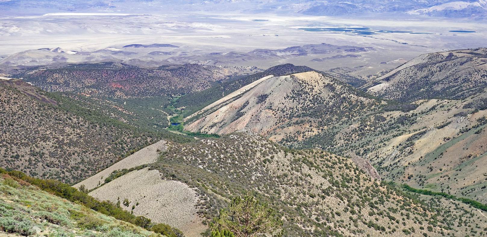
- toward the
northwest, with Mono Lake visible again in the far background,
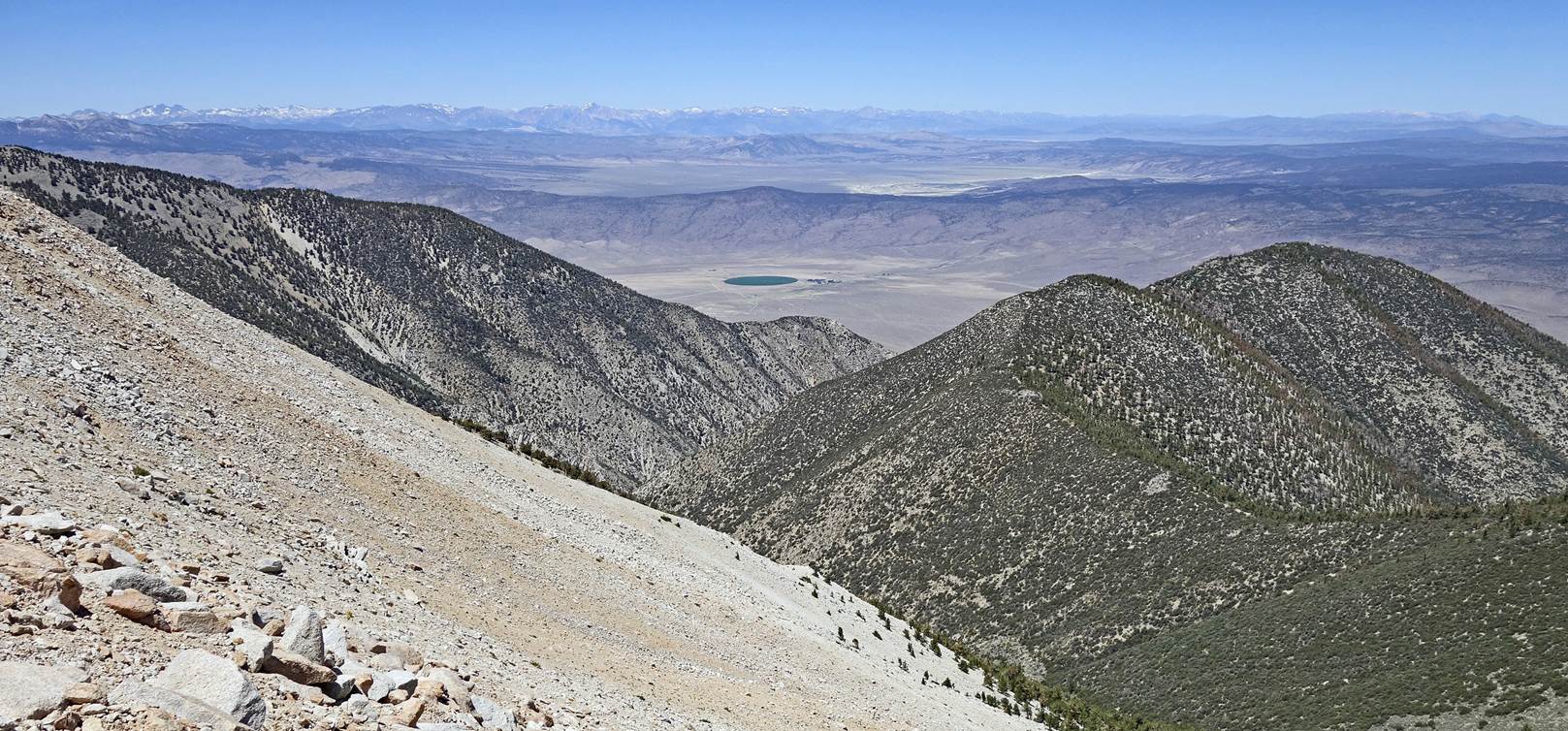
- and the north. (The
right-hand side of the photo shows most of our descent route from Boundary
Peak, first on the white rocky ridge, then on the
brown/greenish ridge.)
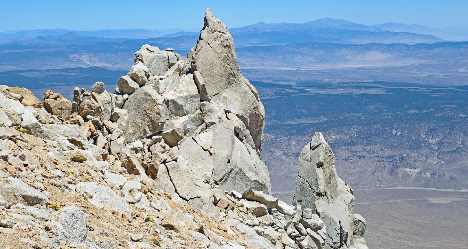
The rock pinnacle
below Boundary Peak seen at the beginning of the descent.
Looking back at Boundary
Peak (at the center of the photo) from much further down. Montgomery Peak is on
its right.
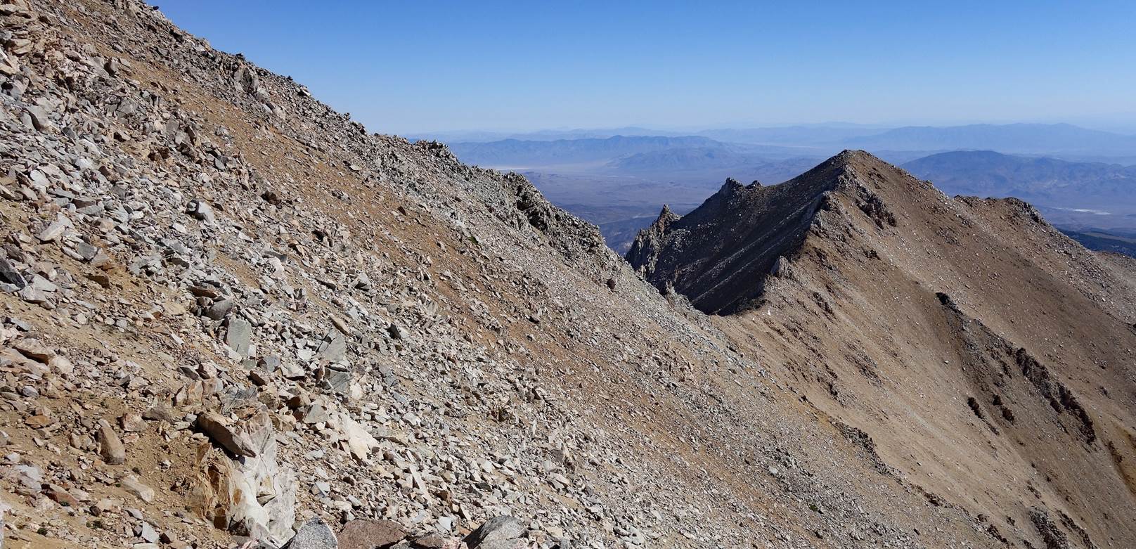
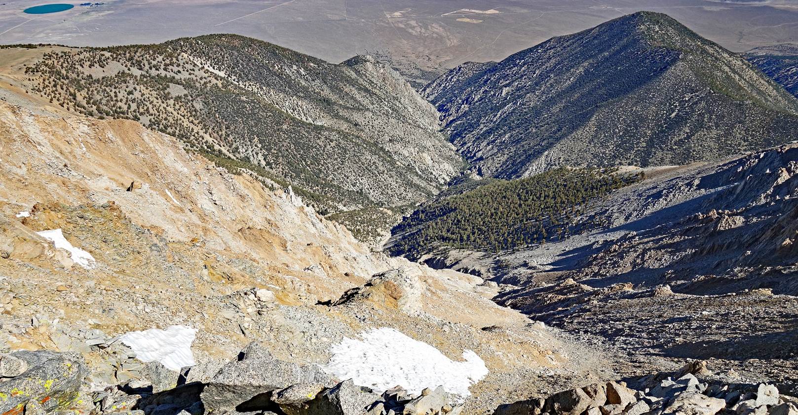
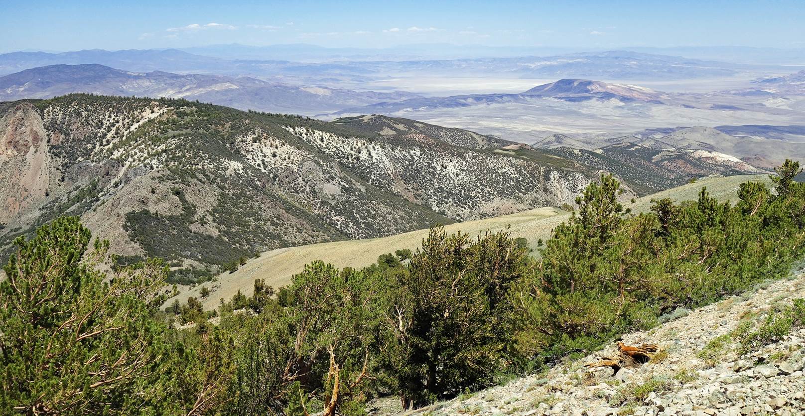
View toward the
northwest during the descent.
Reaching the end of
the descent on white rocks.
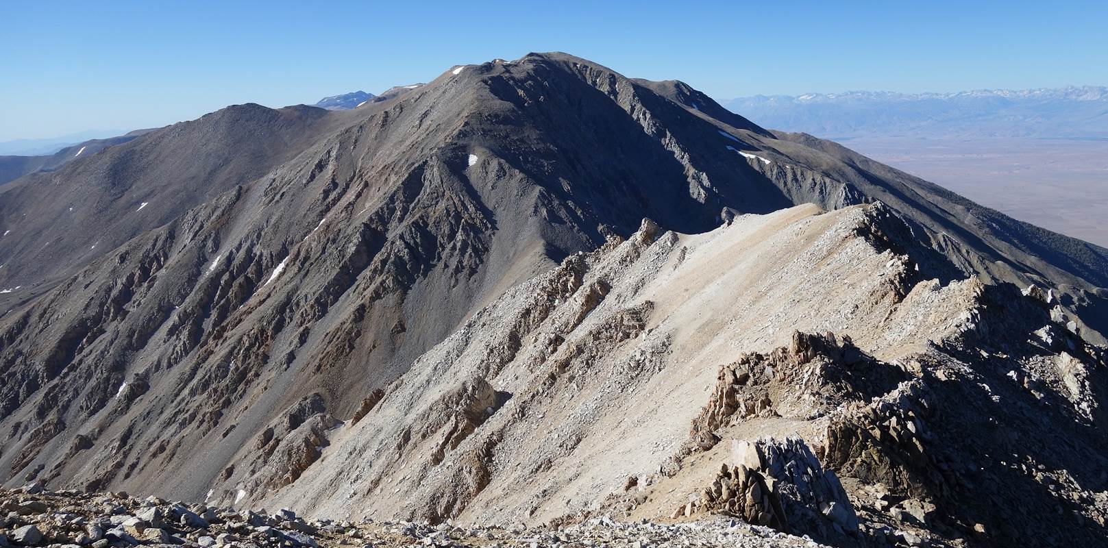
Another view from
Boundary Peak and Montgomery Peak.
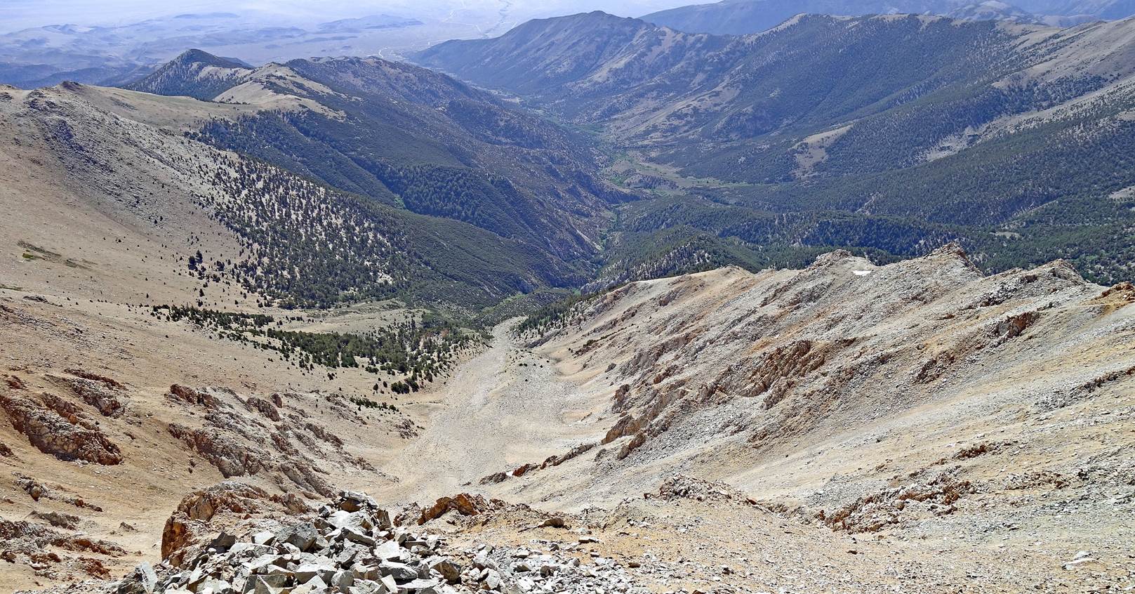
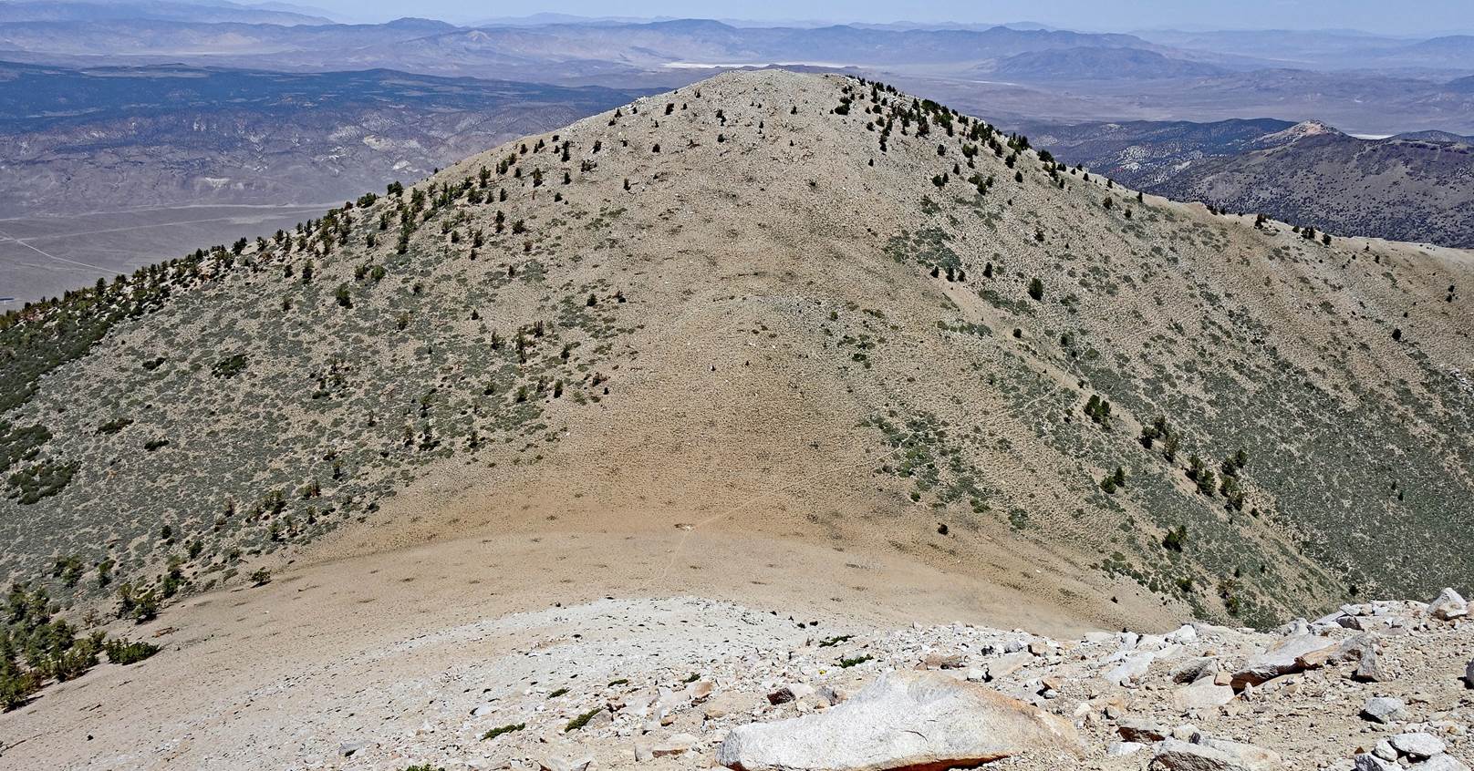
Beautiful
low-elevation mountains and hills toward the end of the descent.
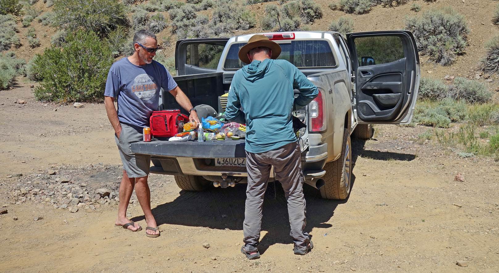
Reaching the car at
waypoint 52 (2761m) on Queen Canyon Road. Tyler had brought us an assortment of
snacks and cold drinks. It was the perfect finale of a strenuous, but terrific
traverse.
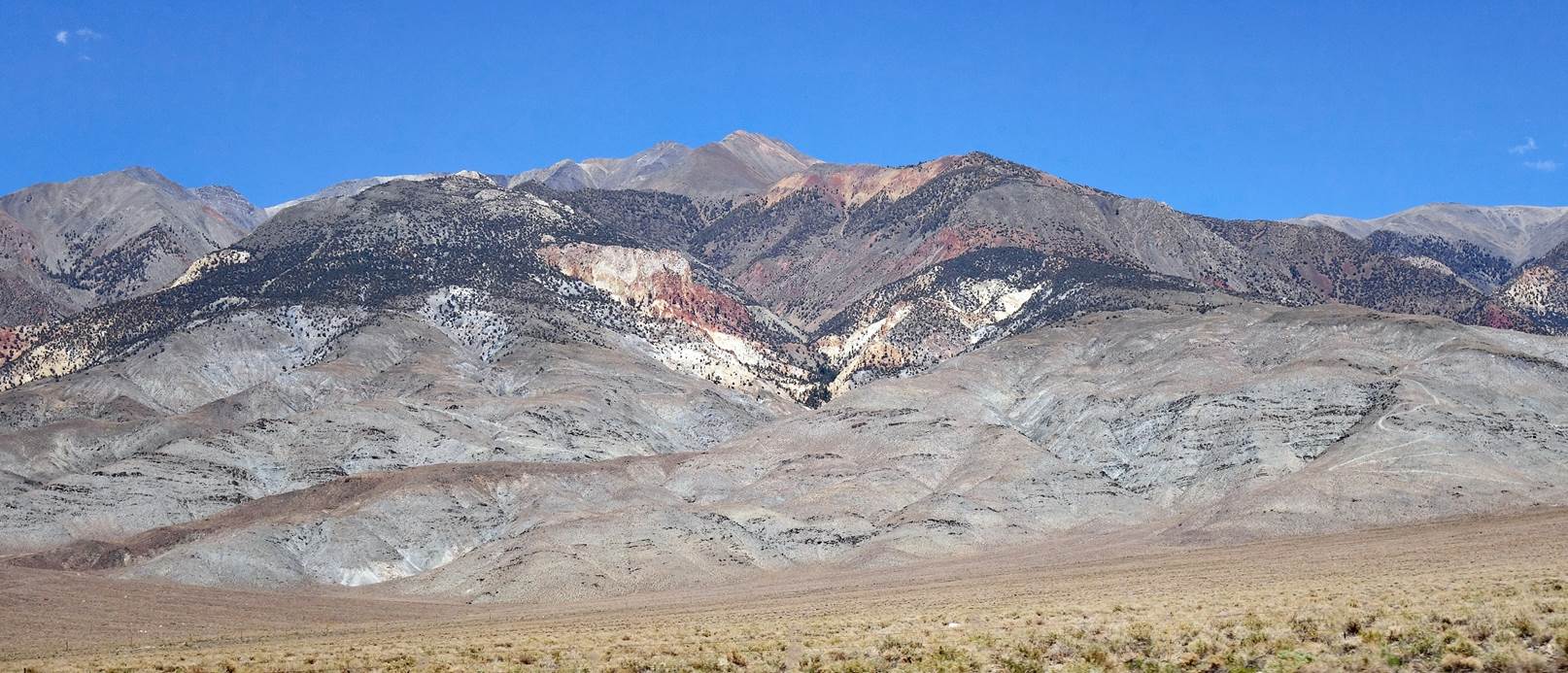
Two photos taken from
the road on our way back to Bishop:
- Boundary Peak
(left) and Montgomery Peak (right),
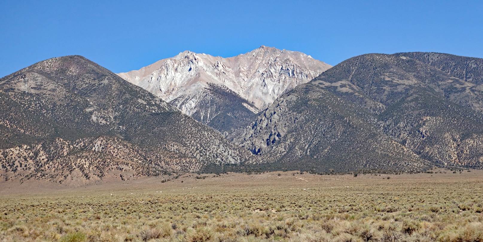
- White Mountain
Peak.
To
directly access the other day-by-day pages of the traverse, click the following
links:
![]()