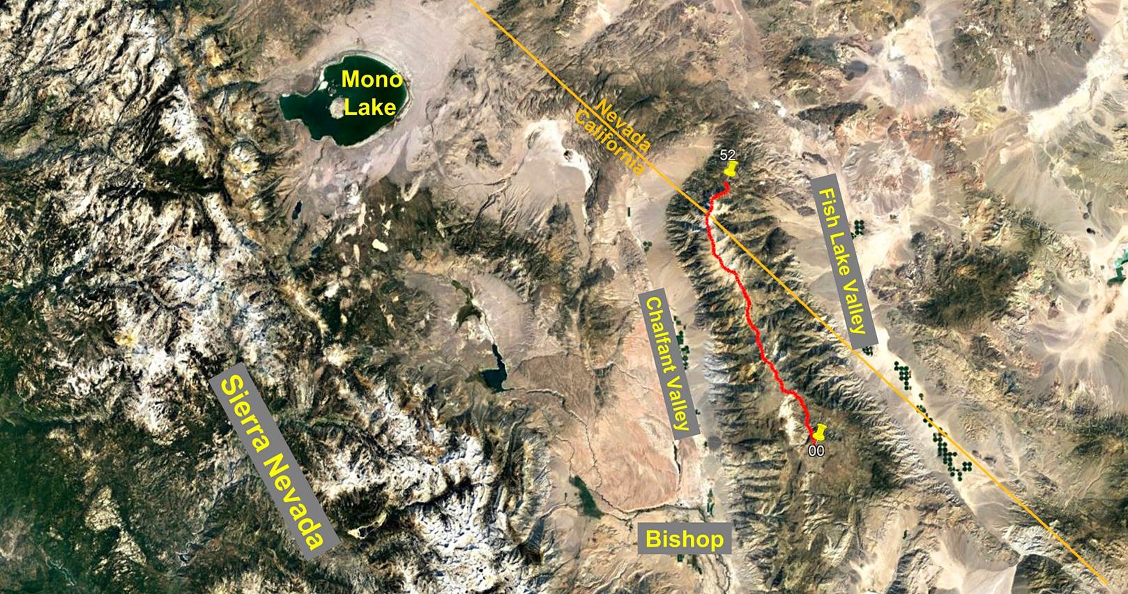
Day 3/5 of the White Mountains
traverse, California and Nevada, United States,
June 27th - July
1st, 2022
![]()
Return to main Whites +
Sierra 2022 trip webpage
|
|
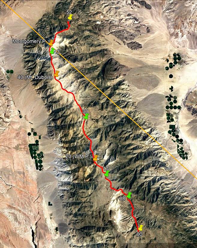
GPS Waypoints of
Day 3 (white-mountains-wp-2022.kmz). |
This third day of the
traverse was a long day, with more than 9 hours of actual hiking. It started
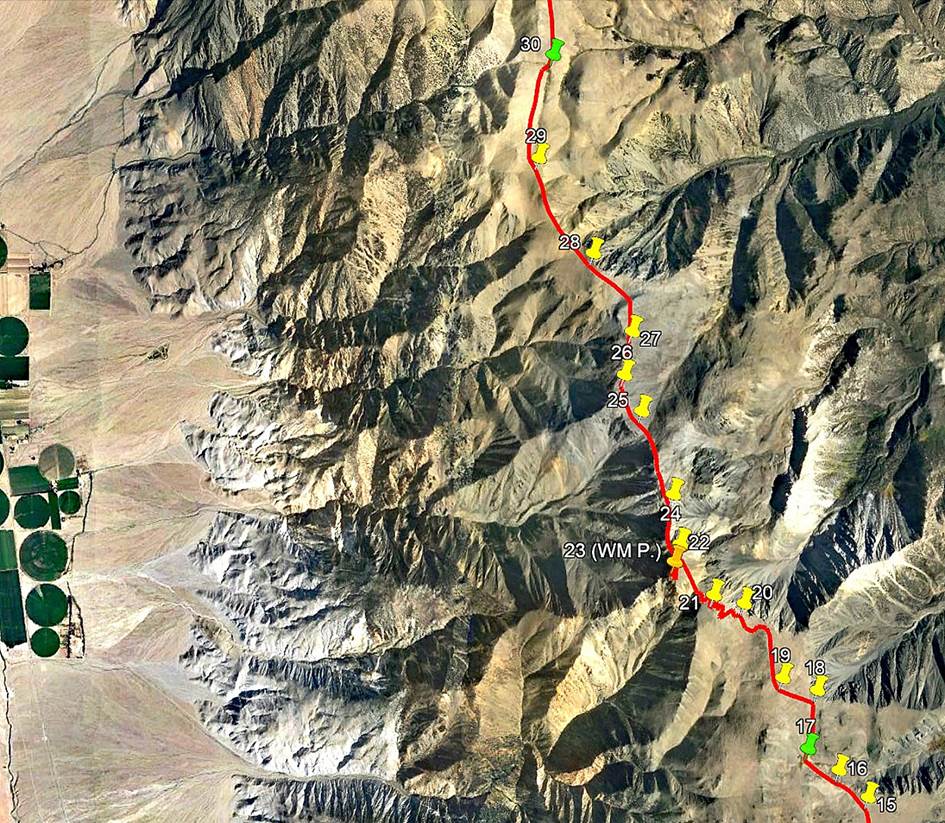
with the gentle ascent of White Mountain Peak (waypoint 23). Soon after passing
waypoint 19 we connected to the old road leading to the summit and followed
that road up to the cabin at the summit. However, north of the peak, the
previously broad crest of the White Mountains range quickly narrowed down into
a series of sharp and steep rocky ridges, before it became wide again. We
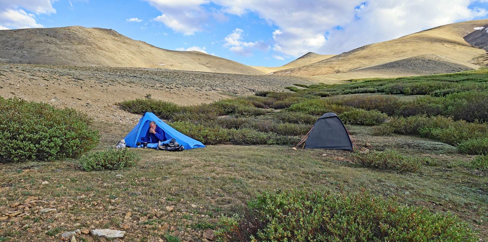
finally set our 3rd camp (waypoint 30) at a nice spot near a stream.
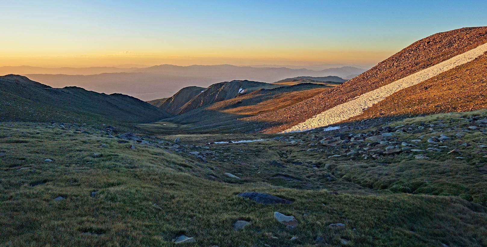
View from my tent at
sunrise at waypoint 17.
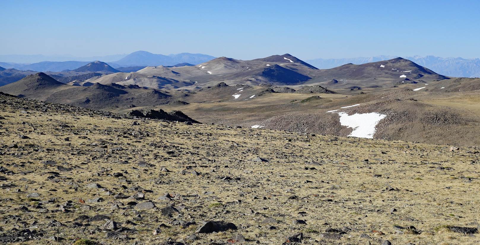
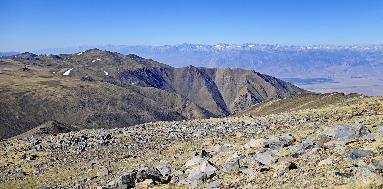
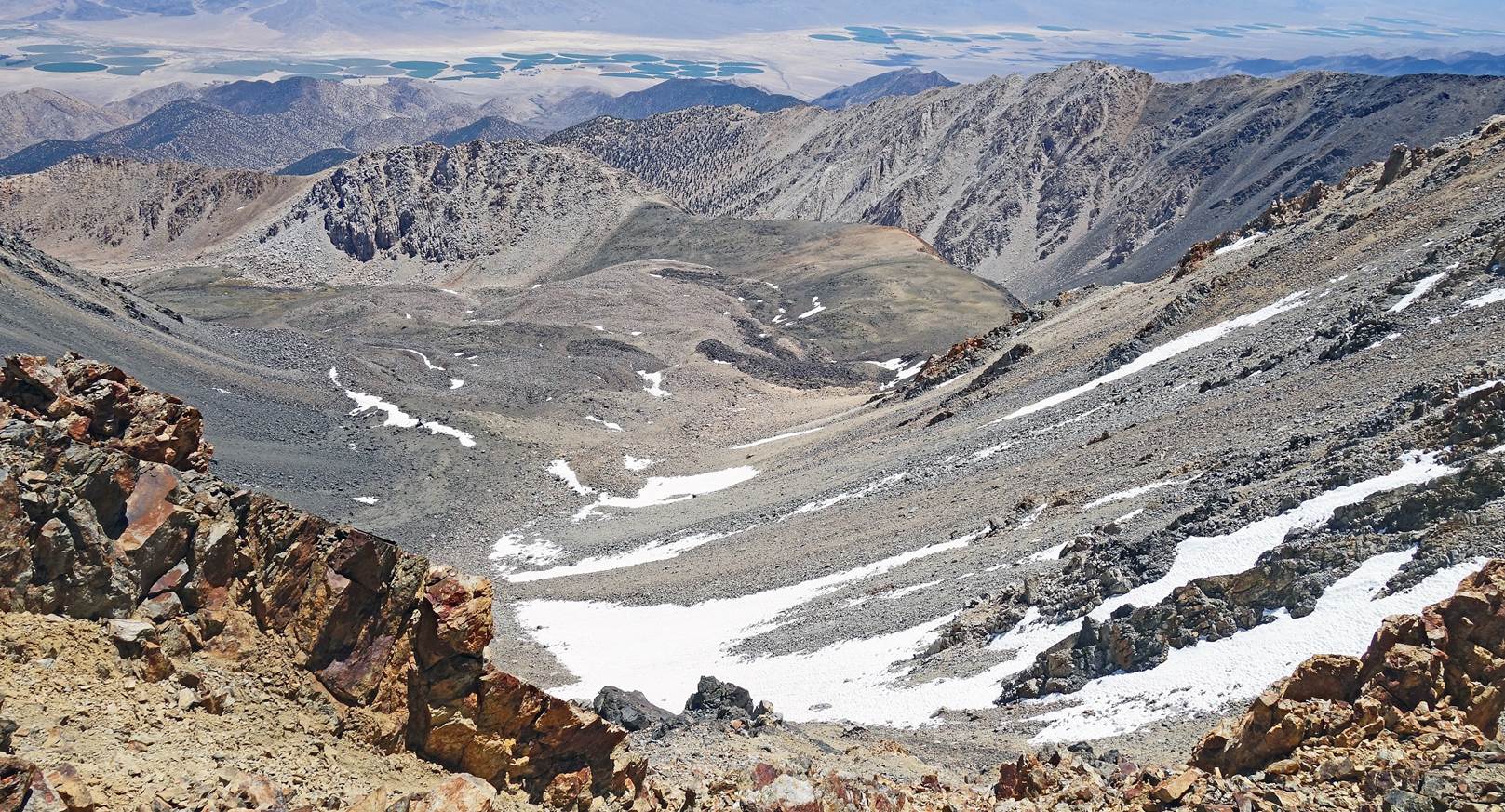
Looking back toward
the south while hiking up toward White Mountain Peak. The crest of the mountain
range is broad, slightly hilly, and barren. It feels like a moonscape with some
snow patches.
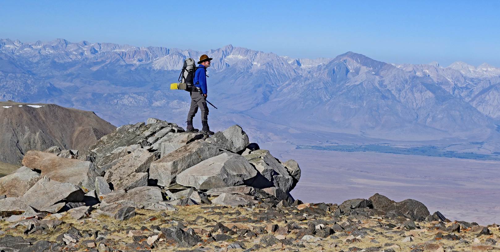
SP standing on an
outcrop at the western edge of the crest, with the Sierra Nevada in the
background.
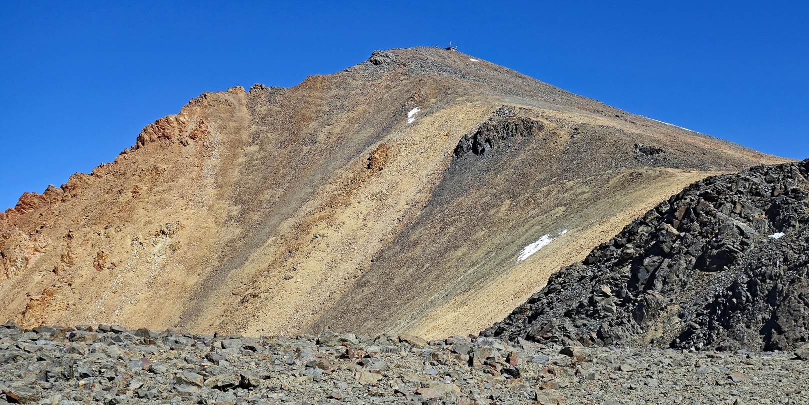
Getting closer to
White Mountain Peak.
Another view toward
the Sierra Nevada.
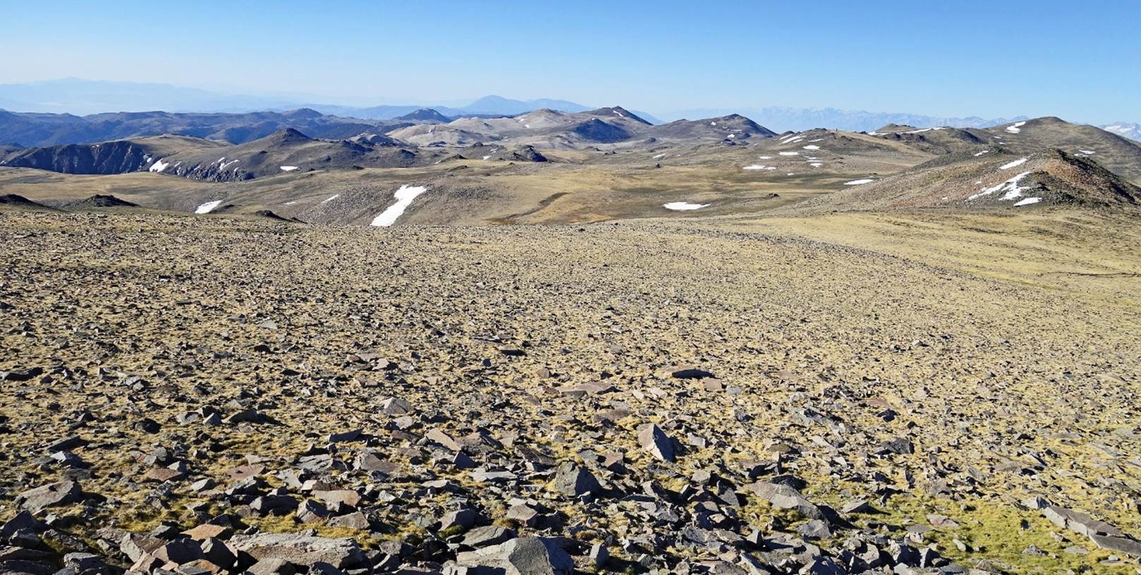
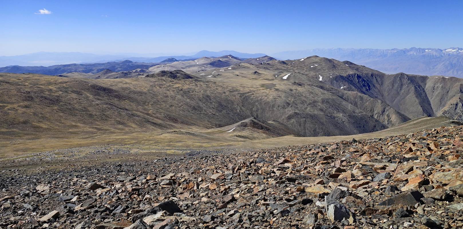
More of the moonscape
on the broad crest of the White Mountains.
Views toward Nevada
on the eastern side of the crest.
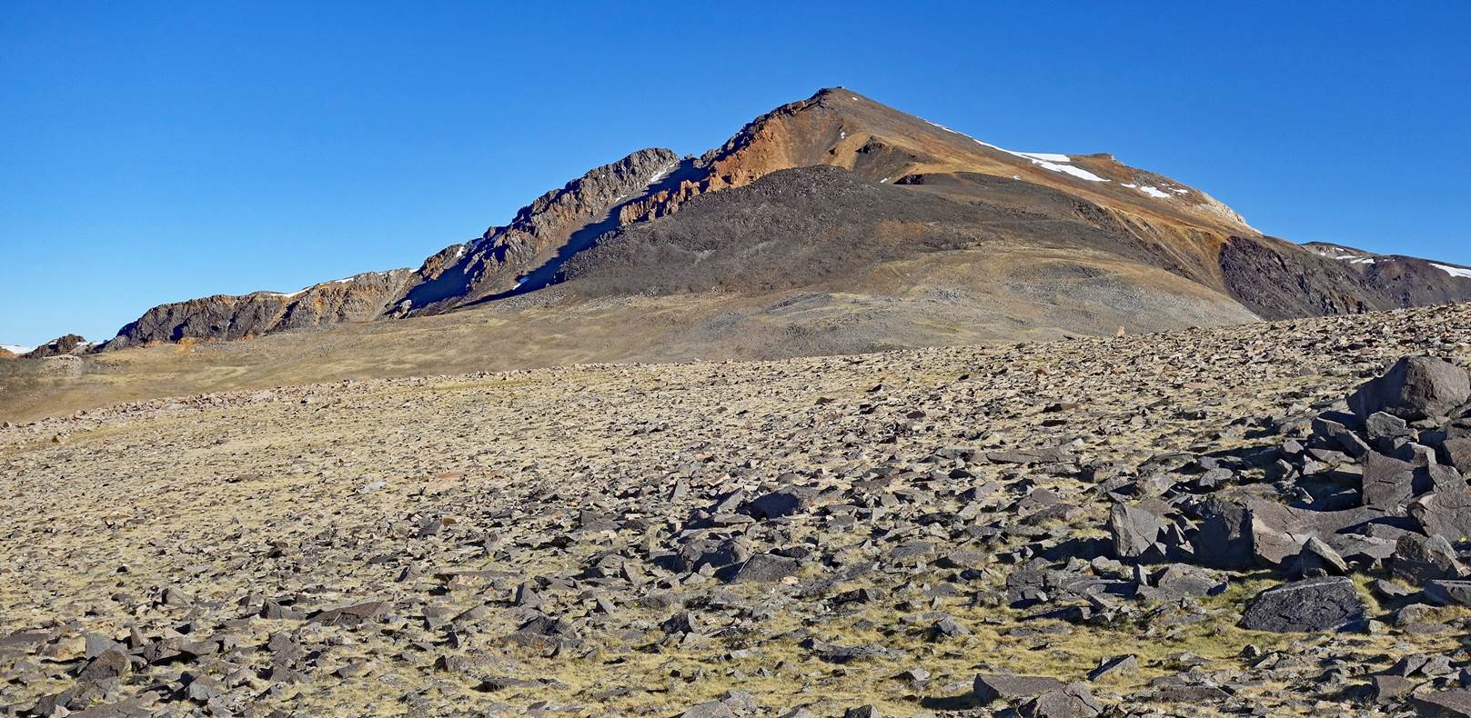
White Mountain Peak
seen from the south, with its small hut at the top. This hut is part of the
White Mountain Research Center operated by the University of California.
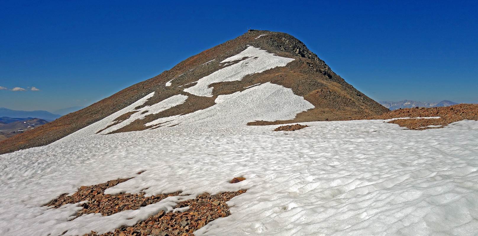
White Mountain Peak
seen from the north.
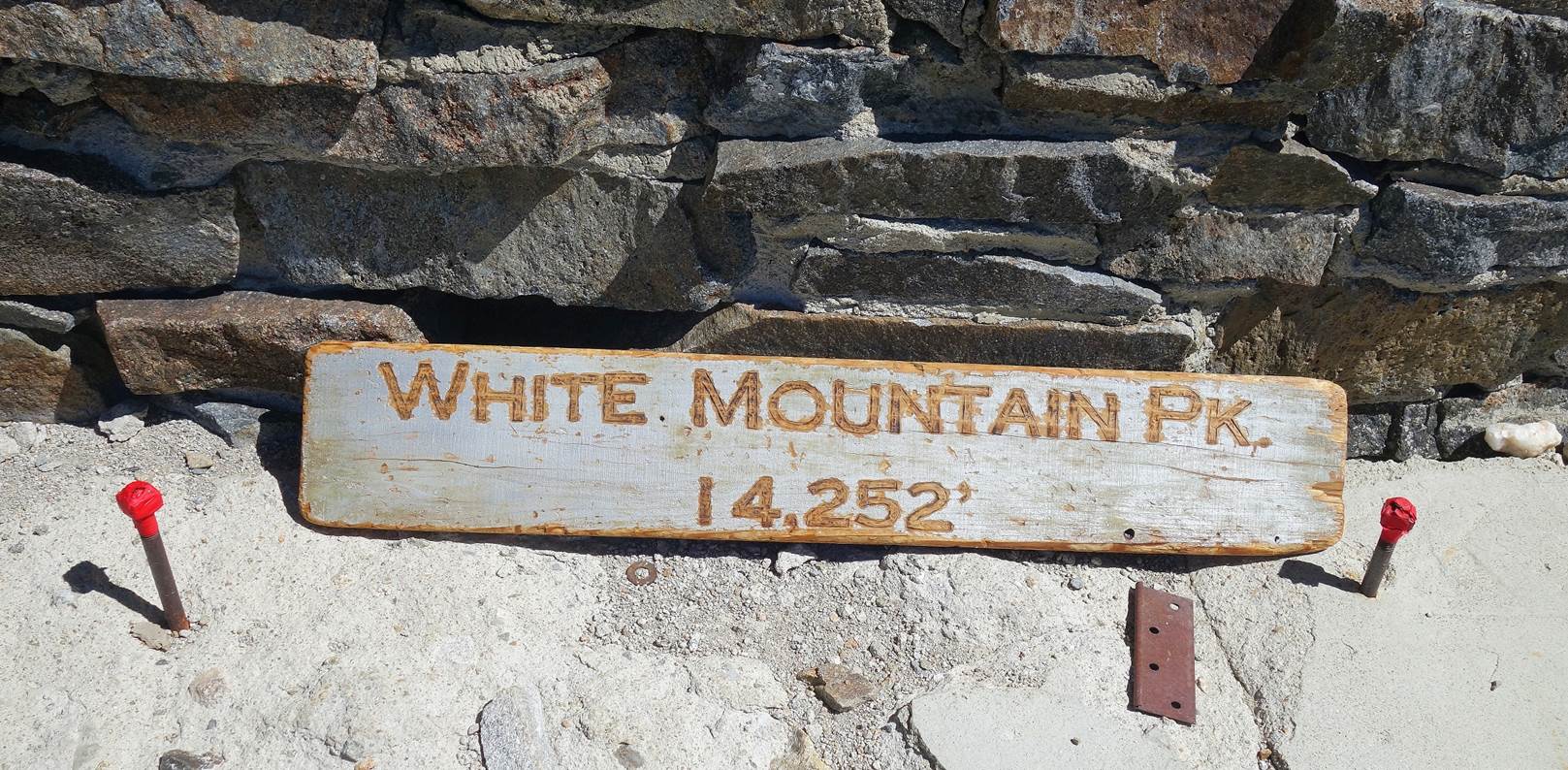
Sign at the hut on
White Mountain Peak (4344m).
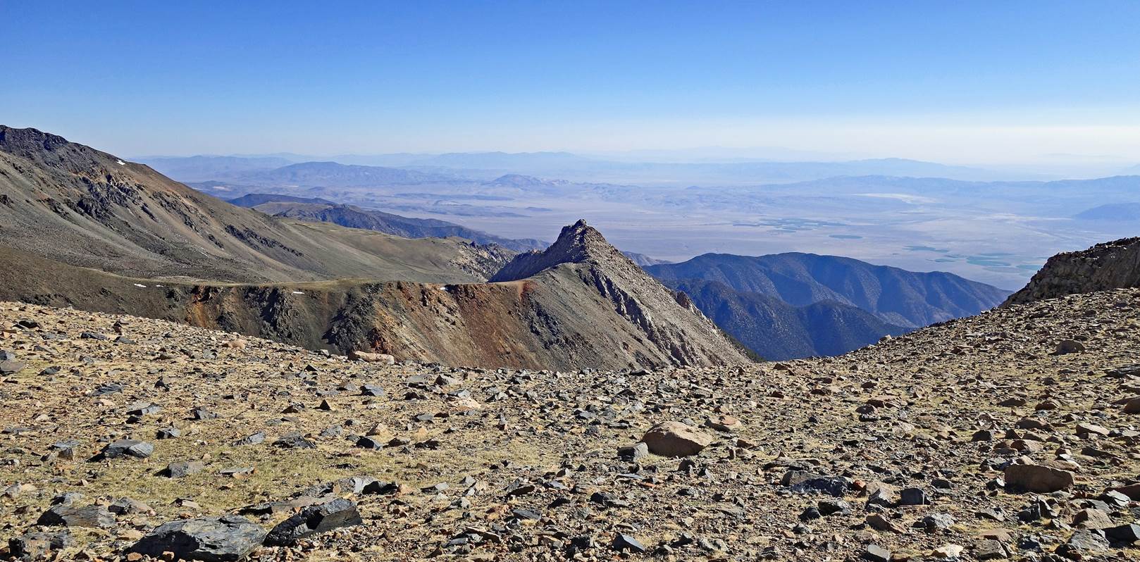
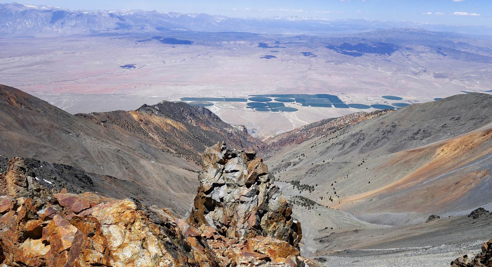
The summit of White
Mountain Peak offers great views over the western side of the range. These are
views:
- toward the south,
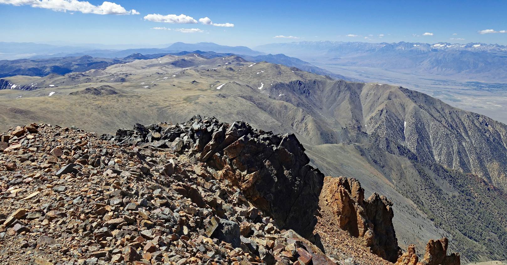
- toward the
south-west, with the town of Bishop visible in the valley (large dark area at
the center of the first photo below),
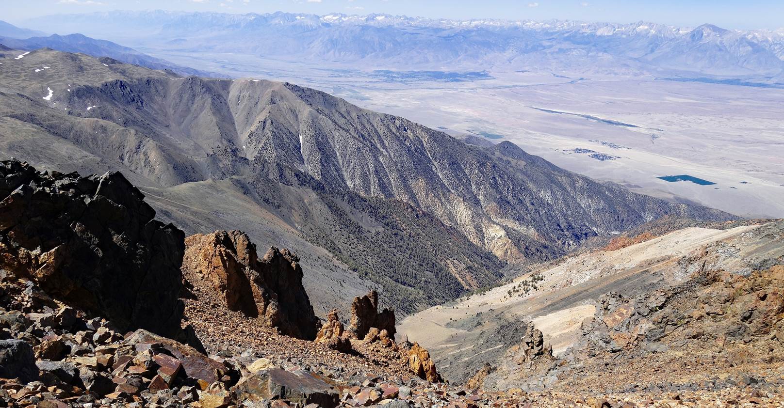
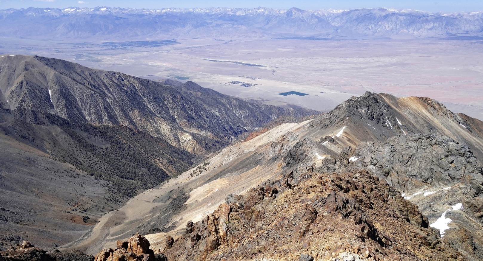
- toward the north.
(This photo shows sections of rocky ridges that we will soon traverse.
Montgomery Peak is also slightly visible at the far end of the crest.)
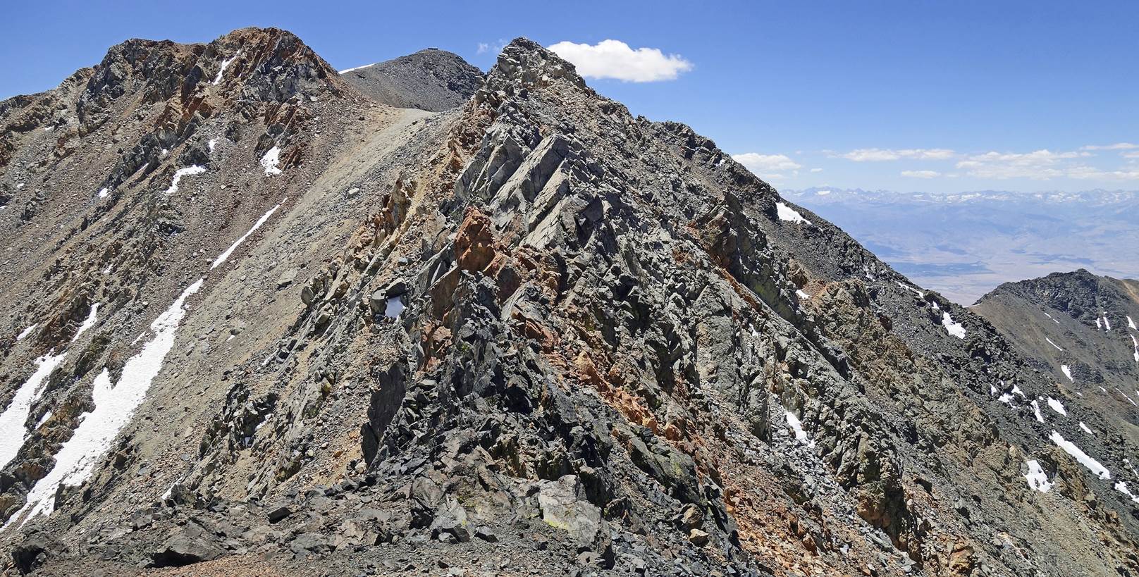
SP on the saddle
north of White Mountain Peak just before reaching the first sharp section of
the crest.
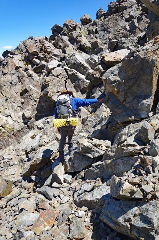
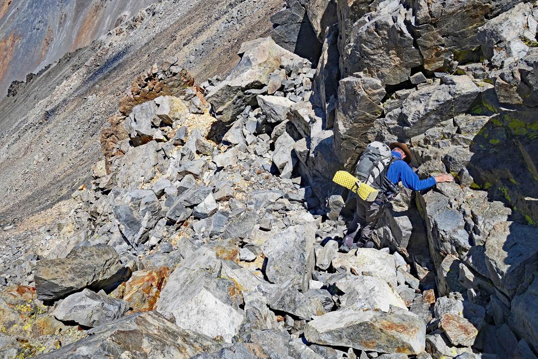
SP on a rather ugly
section of the ridgeline, with loose rocks requiring careful selection of
footsteps and hand holds.
|
|
|
|
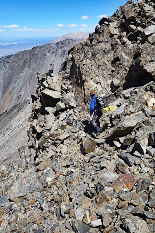
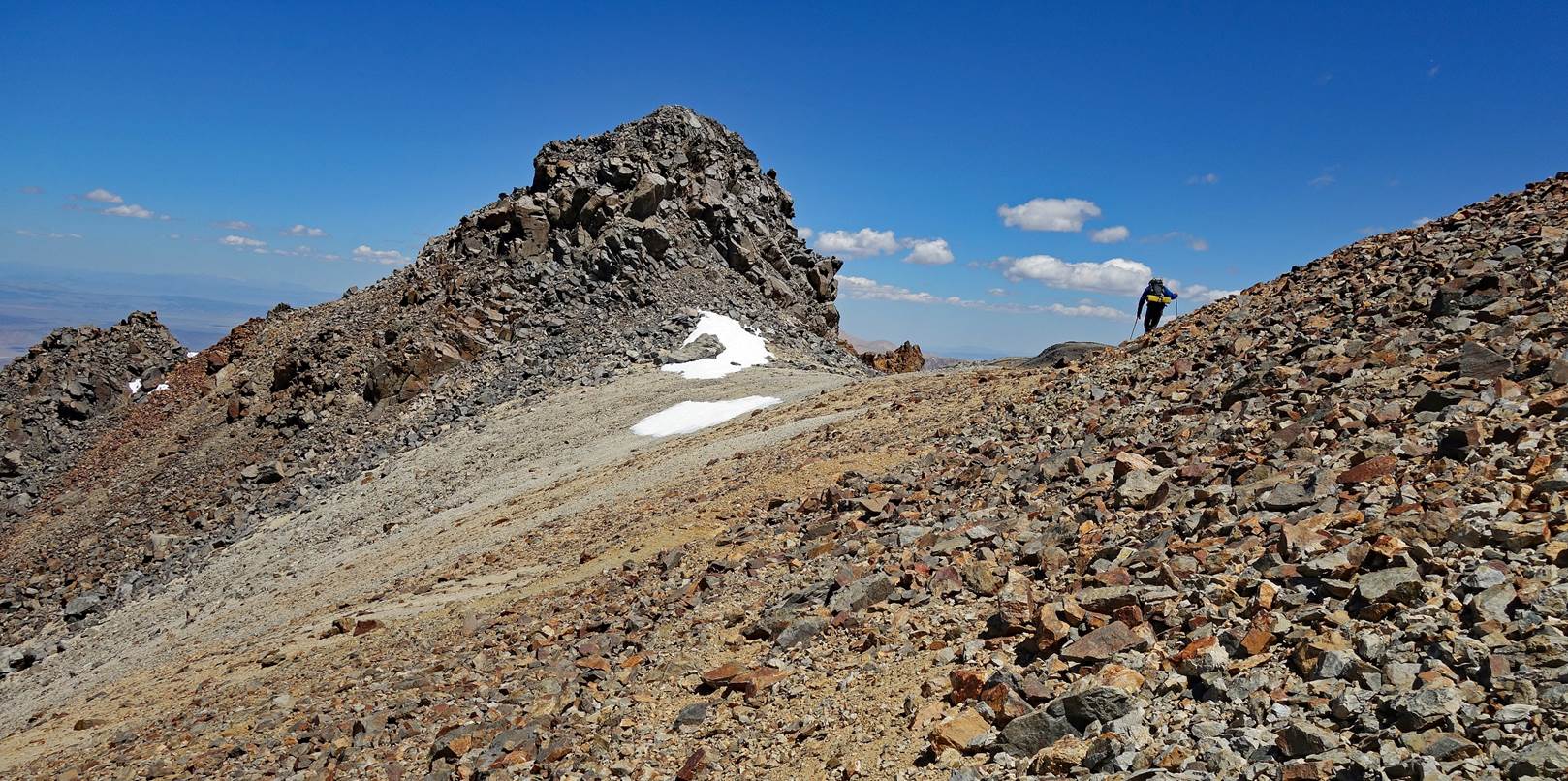
The traverse
oscillates between the ridge's western and eastern sides. There are views of:
- the west side,
- then the east side,
- then the west side
again.
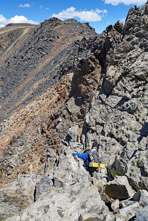
SP on another sharp
section of the ridge.
|
|
|
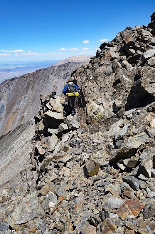
Looking back at two
sections the rocky ridge, with White Mountain Peak visible behind the small
saddle separating them.
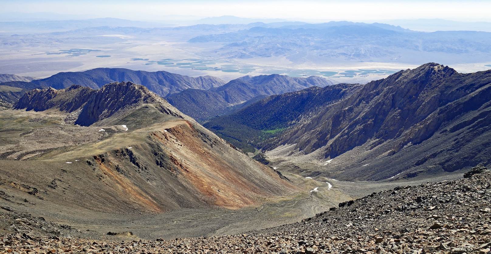
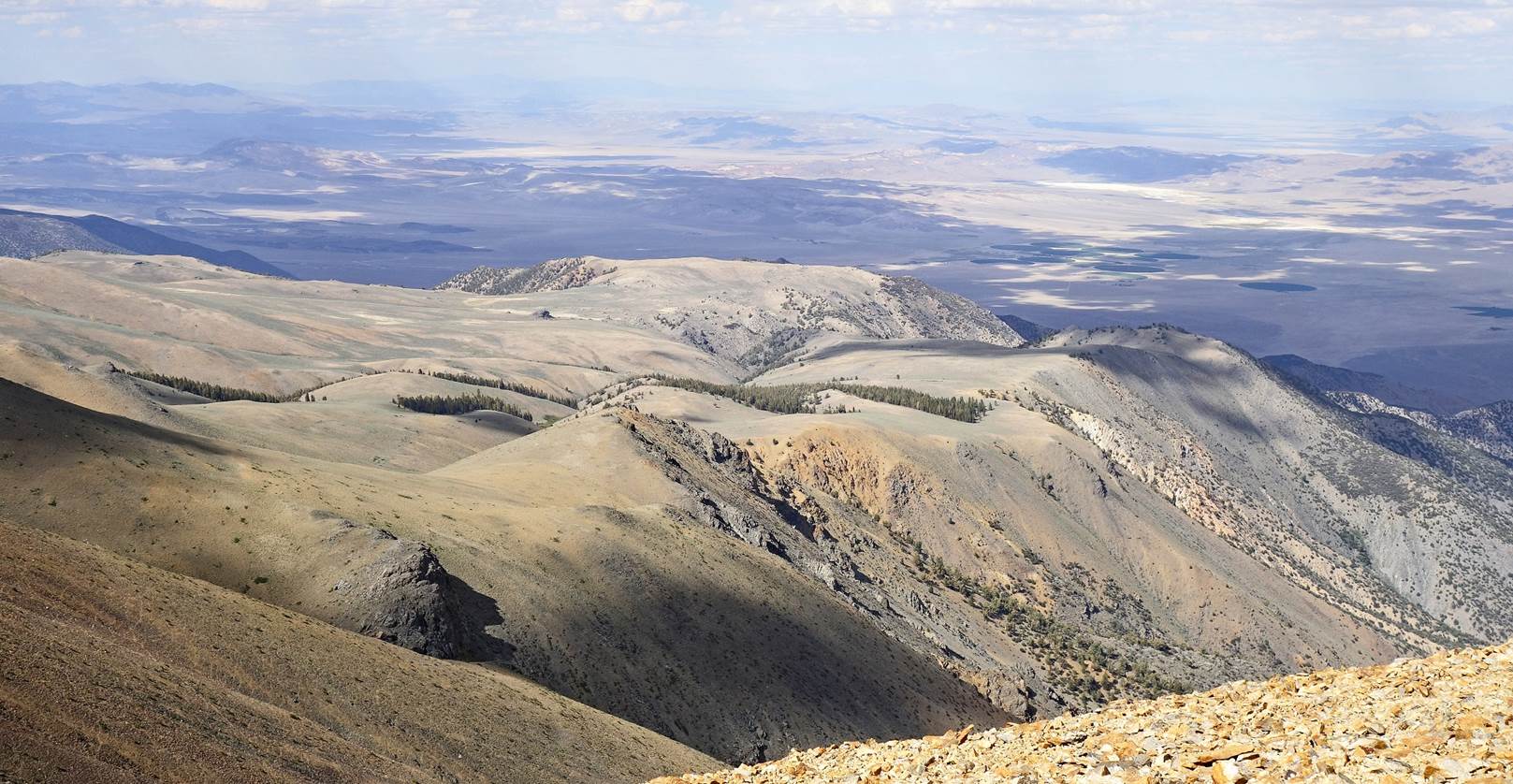
Fish Lake Valley seen
as the crest starts widening.
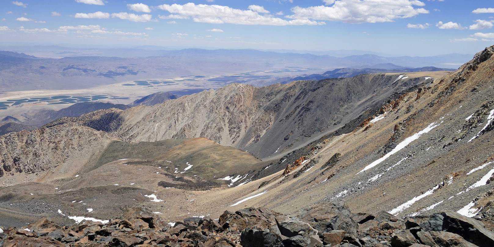
View toward the
north-east over the Nevada desert.
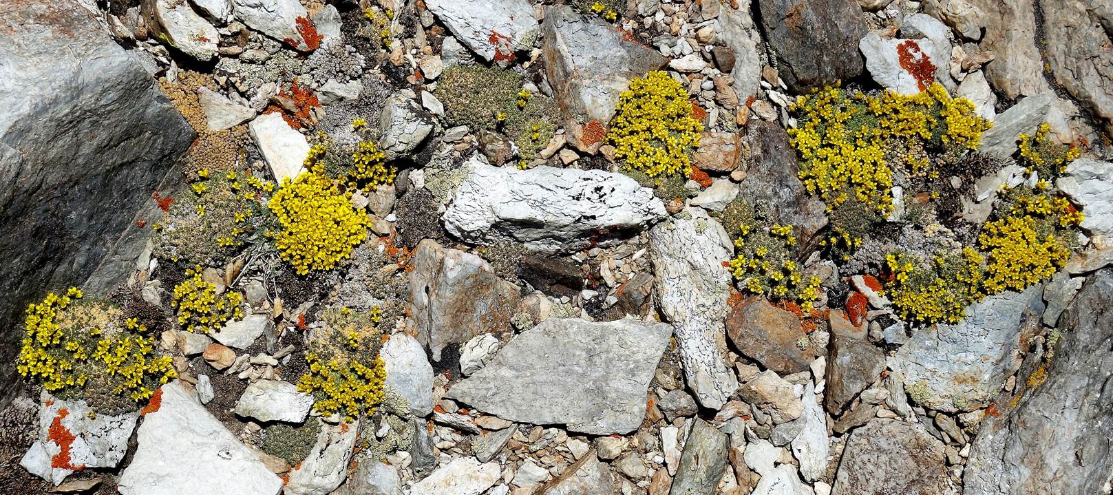
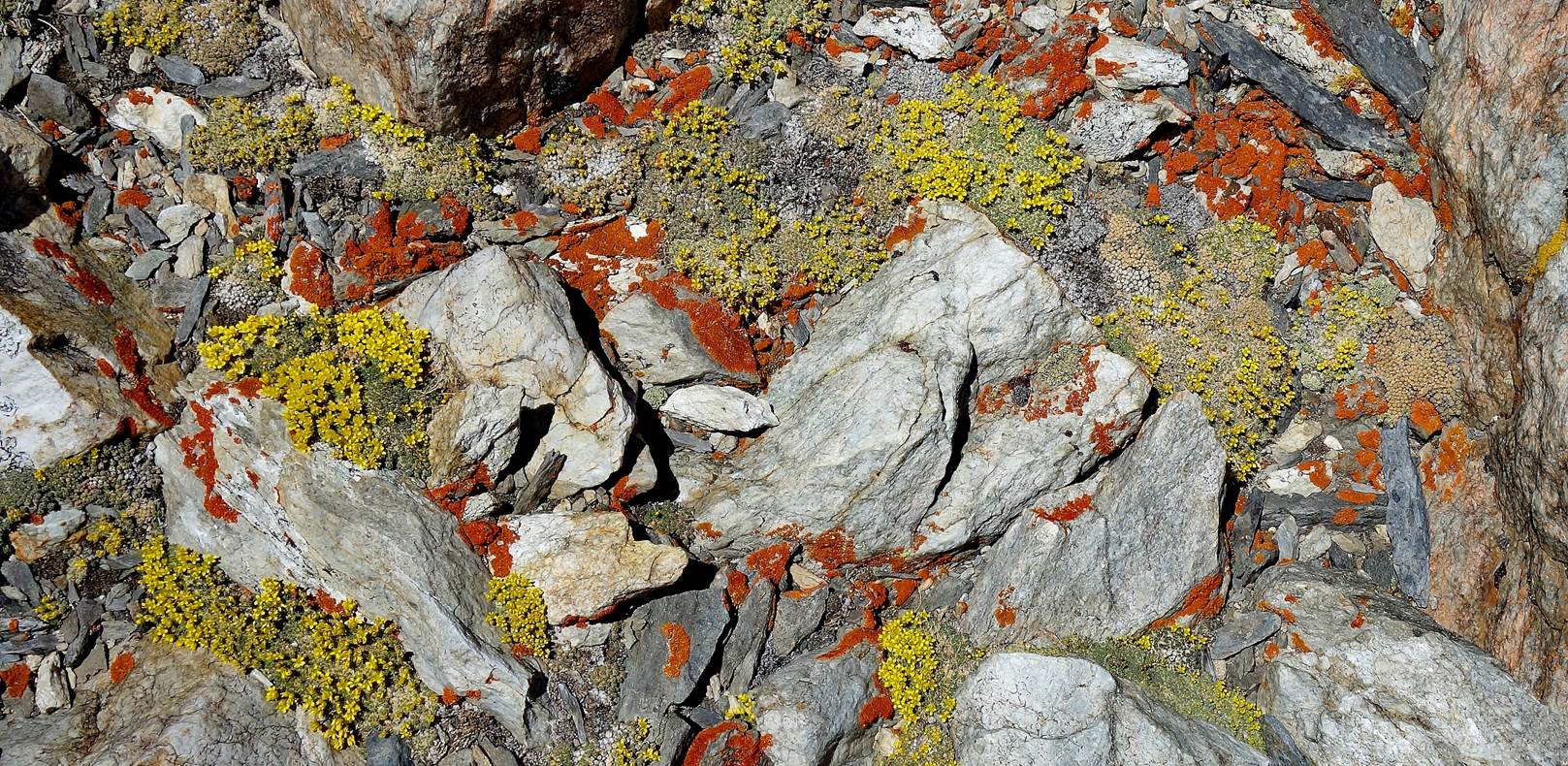
Colorful ground with
a mix of yellow flowers (Mountain Draba) and orange lichen.
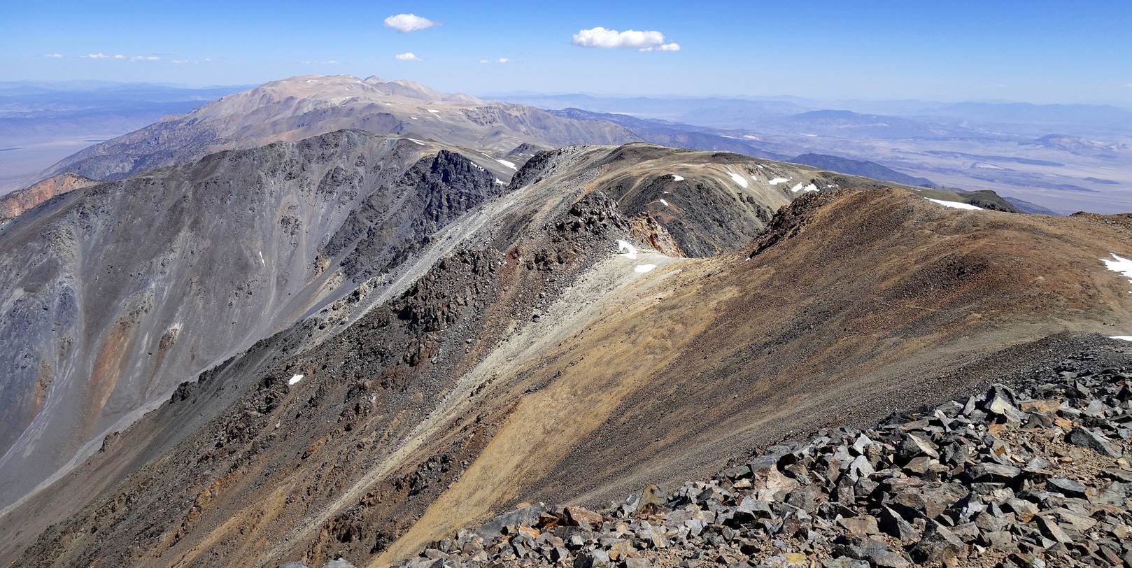
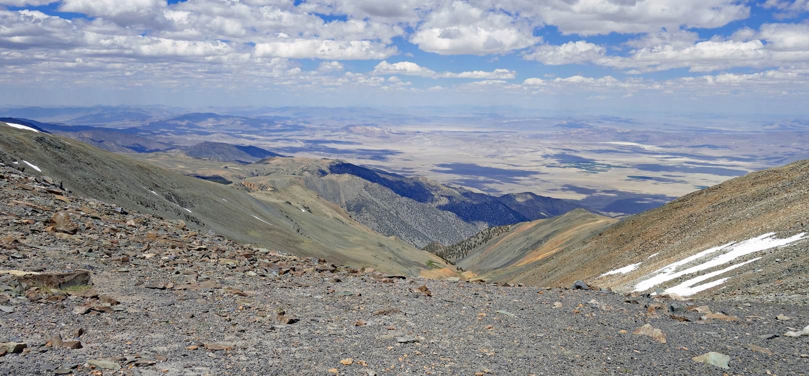
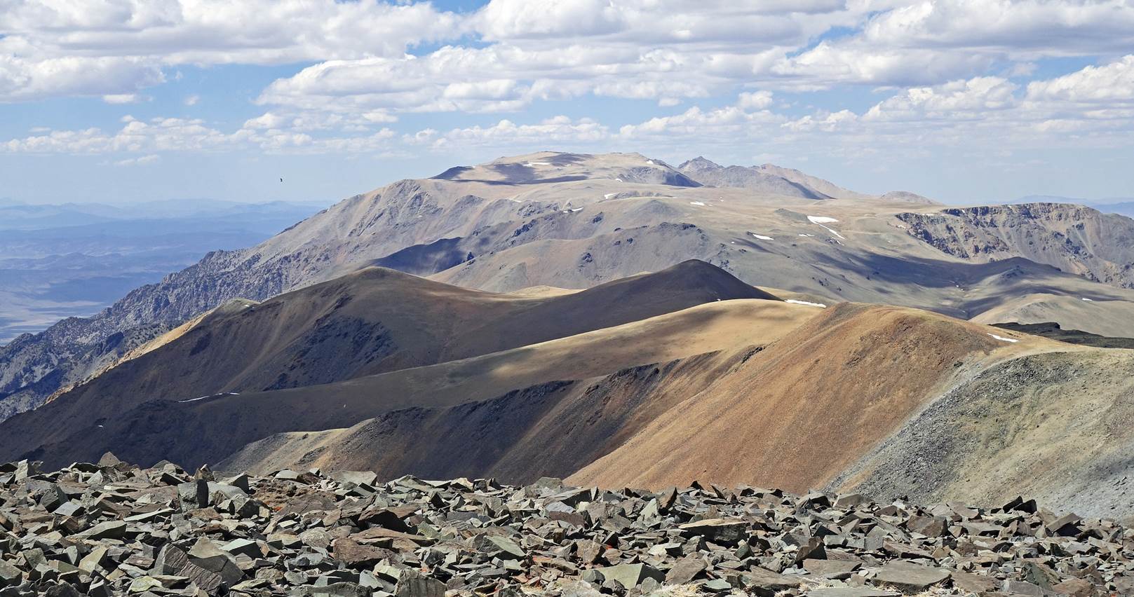
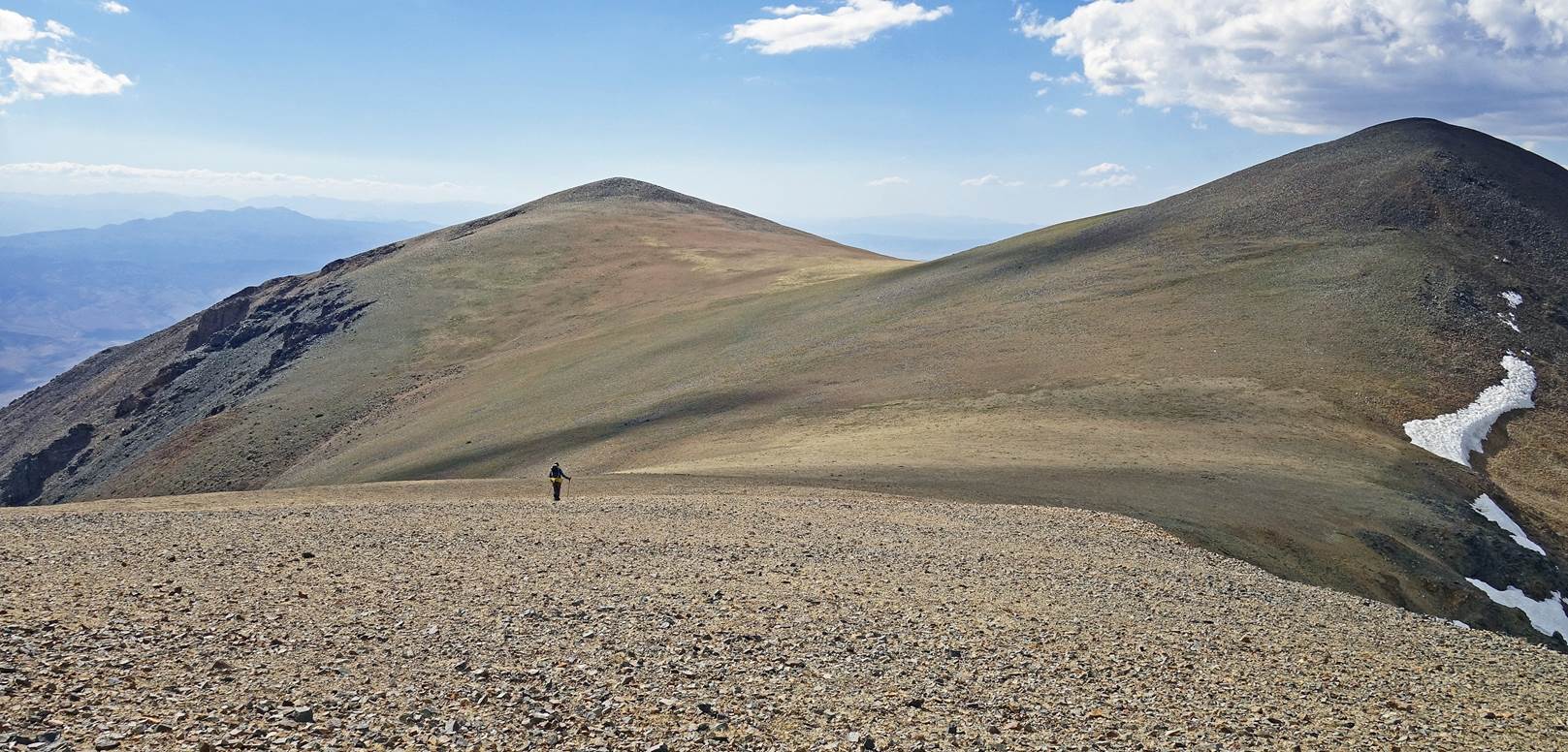
Looking toward the
north over the now much wider crest (photo taken somewhere near waypoint 27).
The sharp peak in the background at the center-right of the photo is Montgomery
Peak. The other summit on its right is Boundary Peak. The closer flat-looking
summit at the center of the photo (on the left of Montgomery Peak) is Mount
Dubois. The large flat area before Mount Dubois is known as the Pellisier
Flats. Our camp 3 (waypoint 30) is still some 500m lower than the location
where this photo was taken, hidden by the brown/redish ridge on the right of
the photo.
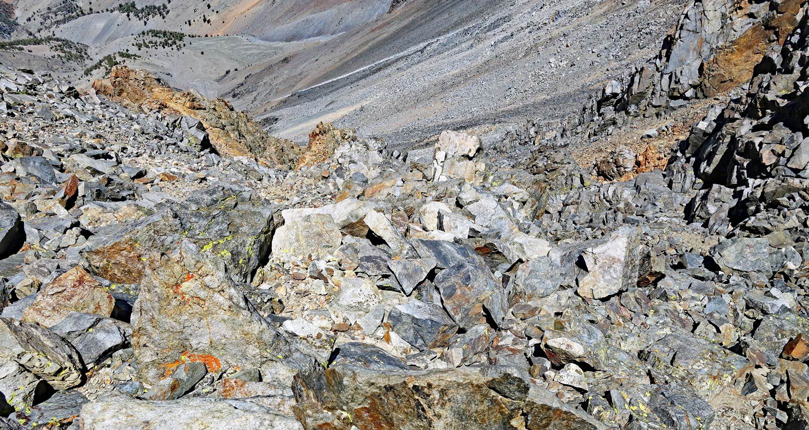
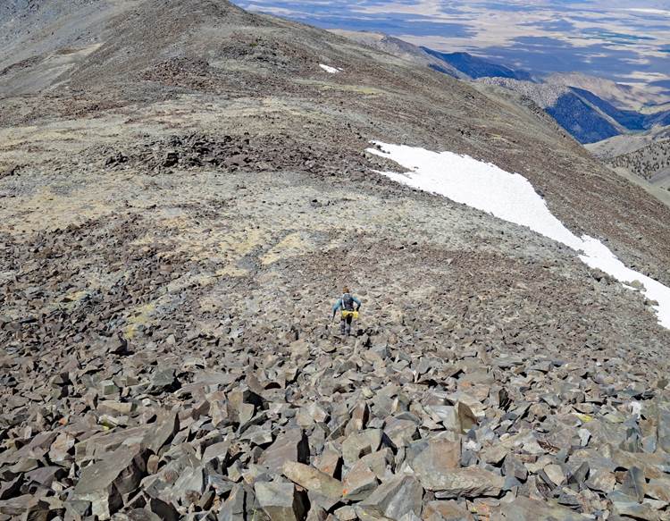
Tedious downhill scree
slope. (The photo on the right shows the slope from below.)
|
|
|
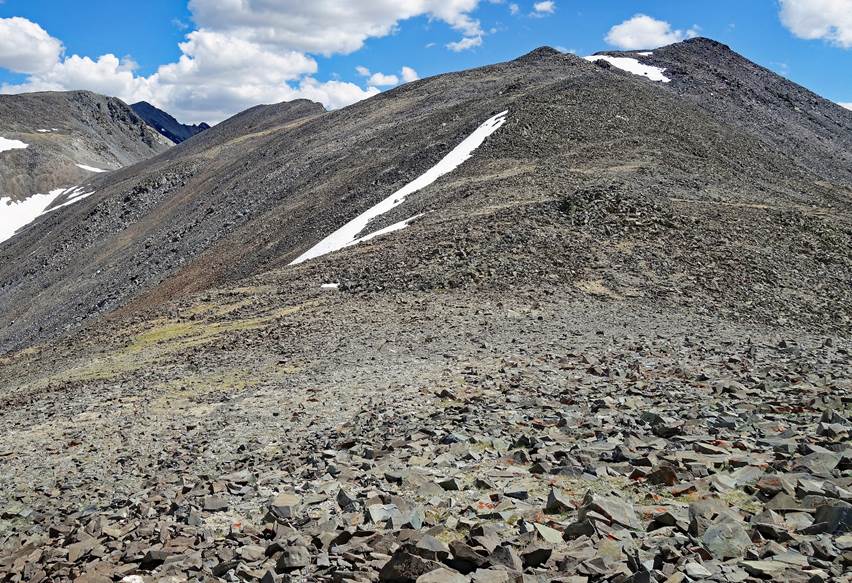
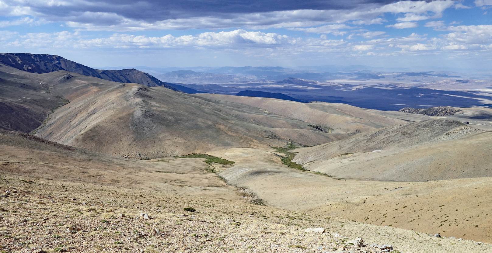
Gentler terrain following the scree slope.
Beautiful eastern
side of the White Mountains seen from waypoint 28.
Last slope down to
our 3rd camp. Curiously, two parallel streams run down the slope: Cabin Creek
and Birch Creek. But at the bottom of the slope, they separate. While Cabin
Creek flows east (to the right in the picture), Birch Creek flows west. We set
our camp at the 90dg bend made by Birch Creek.
Our 3rd camp
(waypoint 30) set at 3406m, the lowest point of the traverse since waypoint 10.
It was 938m lower than White Mountain Peak and 729m lower than Mt. Dubois
(still to be climbed on Day 4).
To
directly access the other day-by-day pages of the traverse, click the following
links:
![]()