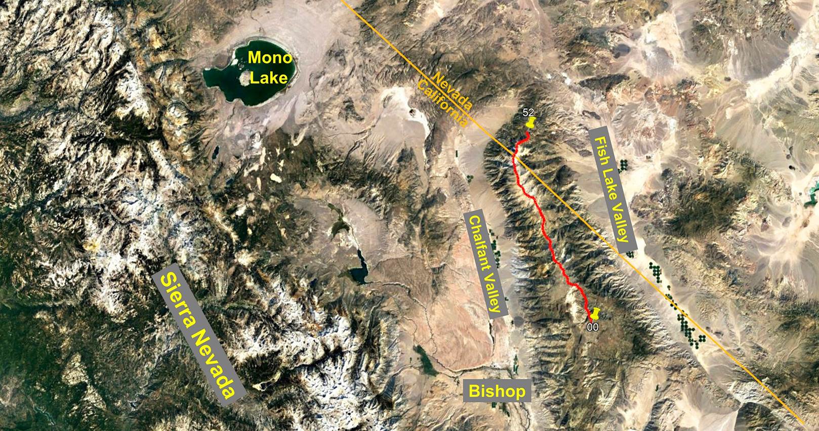
Day 2/5 of the White Mountains traverse, California and
Nevada, United States,
June 27th - July 1st, 2022
![]()
Return to main Whites + Sierra 2022 trip webpage
|
|
GPS Waypoints of
Day 2 (white-mountains-wp-2022.kmz). |
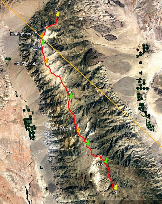
This second day of
the traverse was another easy hiking day. We progressively gained elevation
from 3106m at waypoint 08 (1st camp) to 3760m at waypoint 17 (2nd camp) on easy
terrain. We saw more bristlecone trees, but we eventually moved above the tree
line. Water became scarcer.
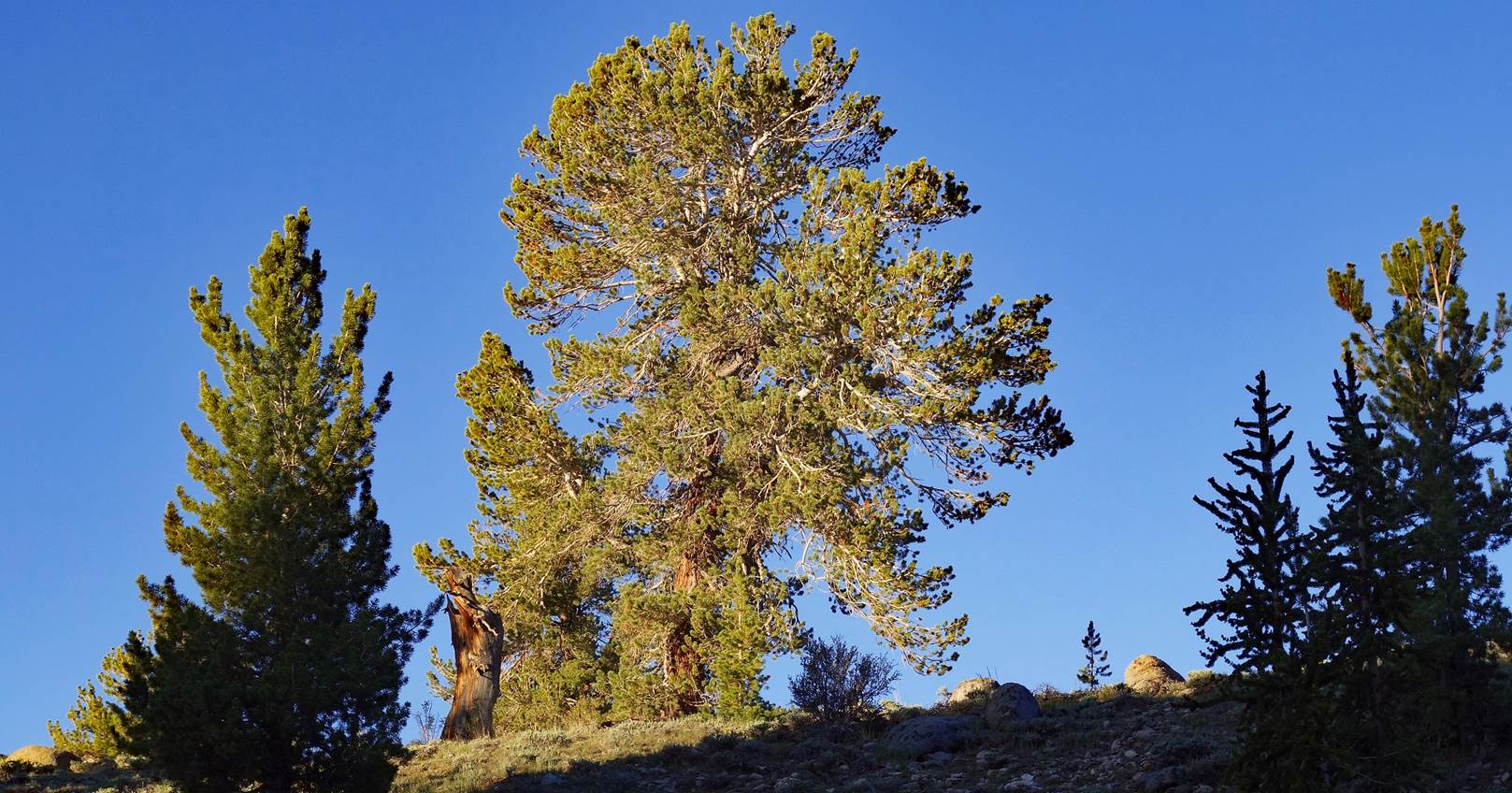
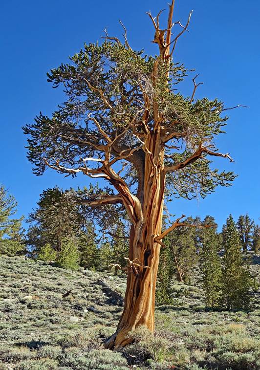
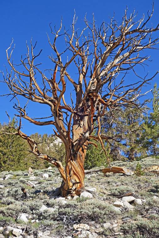
Limber pine lit by
the morning sun above our camp at 08.
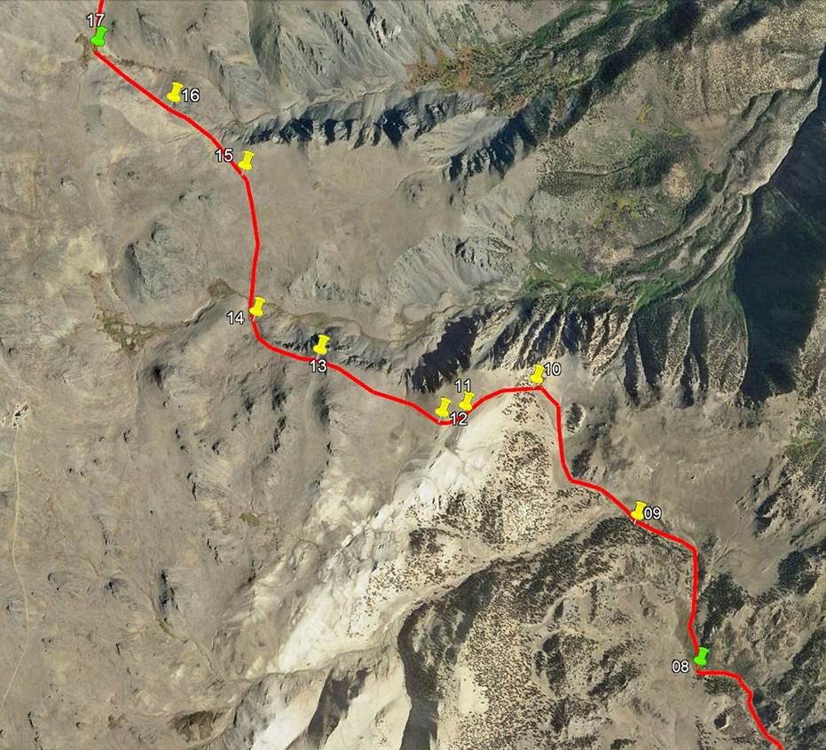
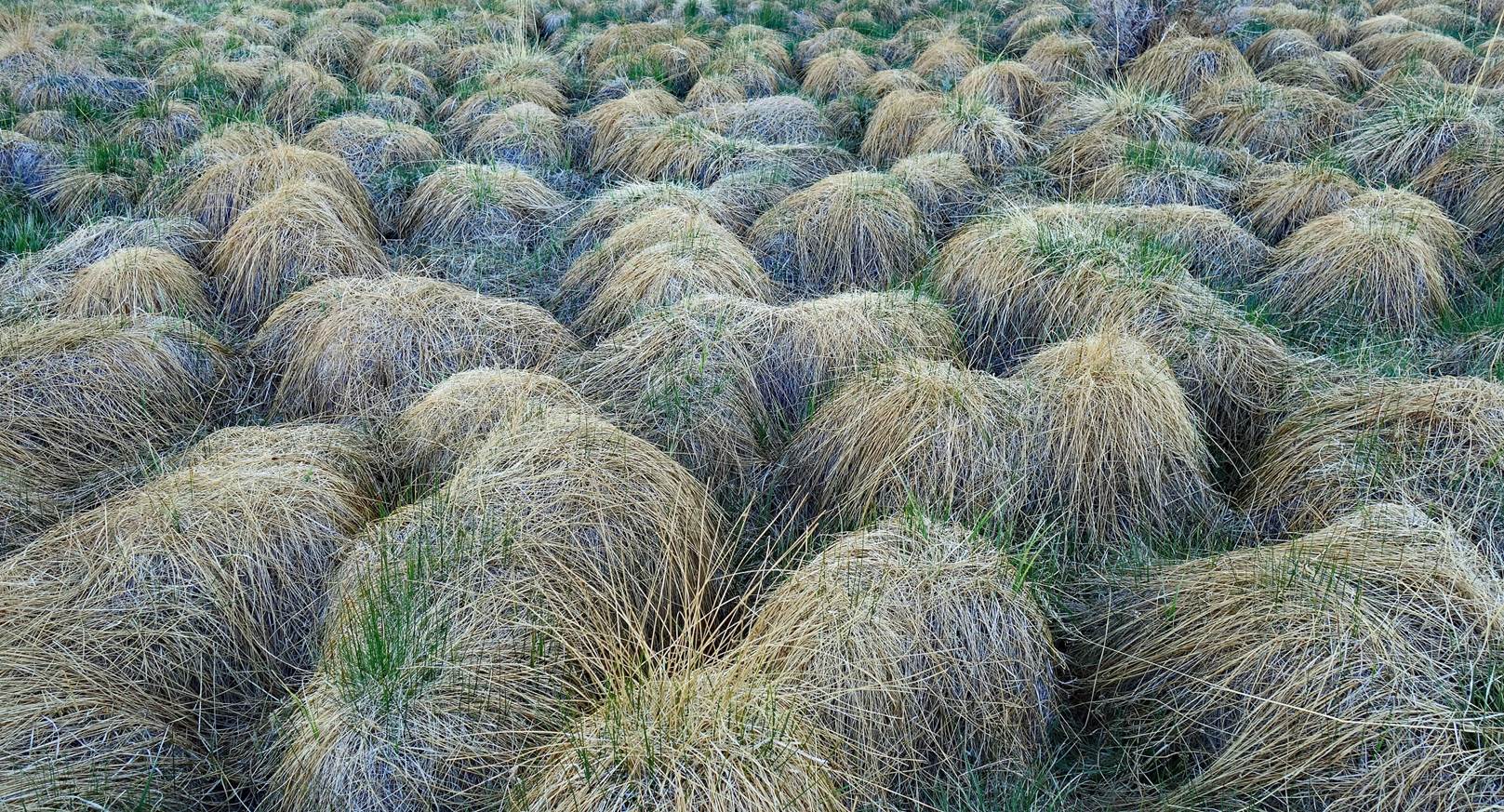
Soon after leaving
our camp, for a short amount of time, we crossed this terrain of grassy
hummocks with water and mud in between.
Getting higher and
closer to the White Mountains crest.
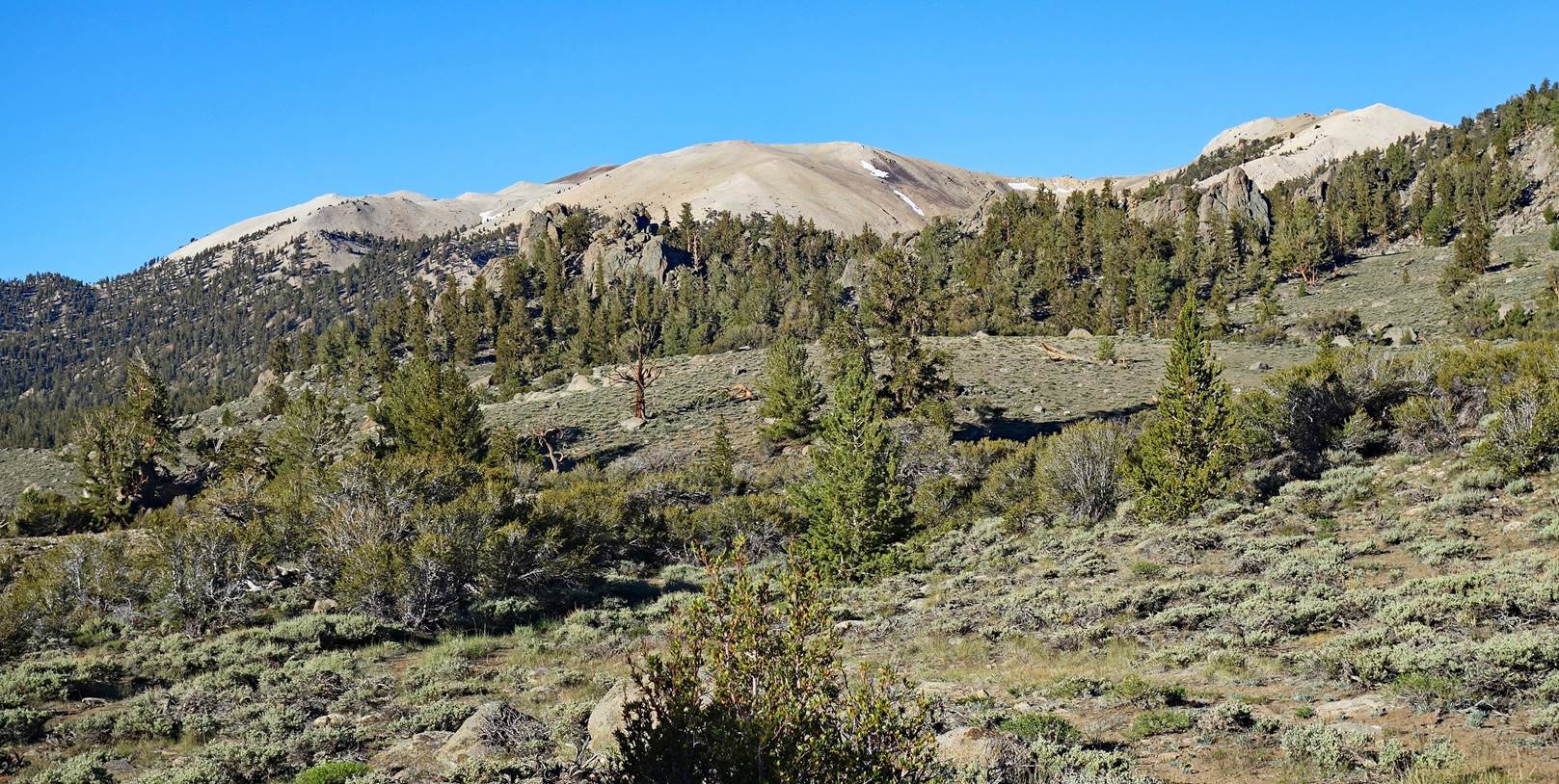
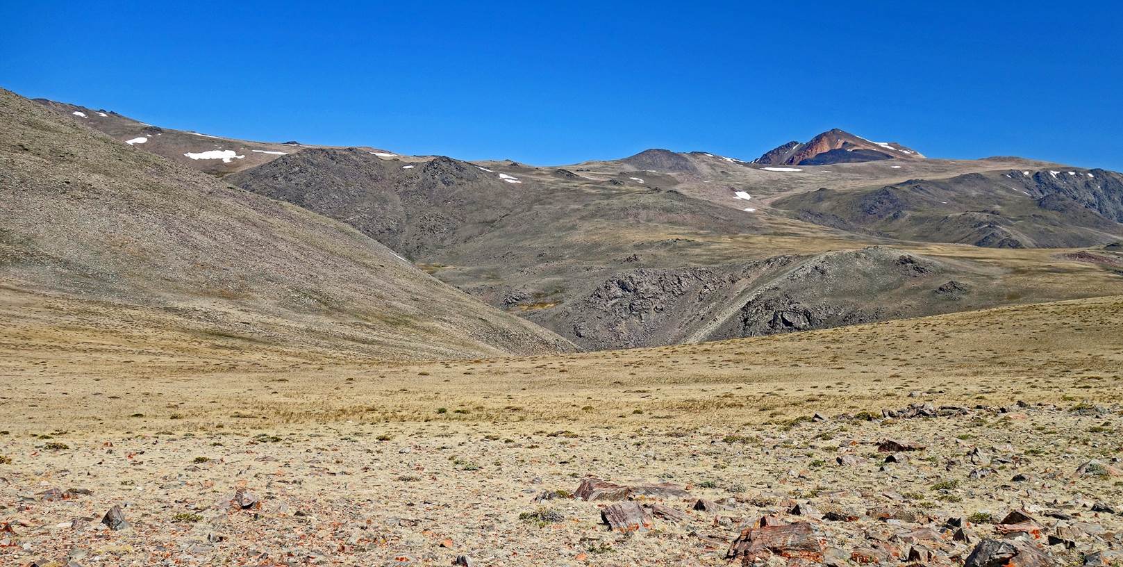
Wide valley between
waypoints 09 and 10. At the upper end of this valley we will make a 90dg turn
to the left (to the west) toward the crest of the White Mountains.
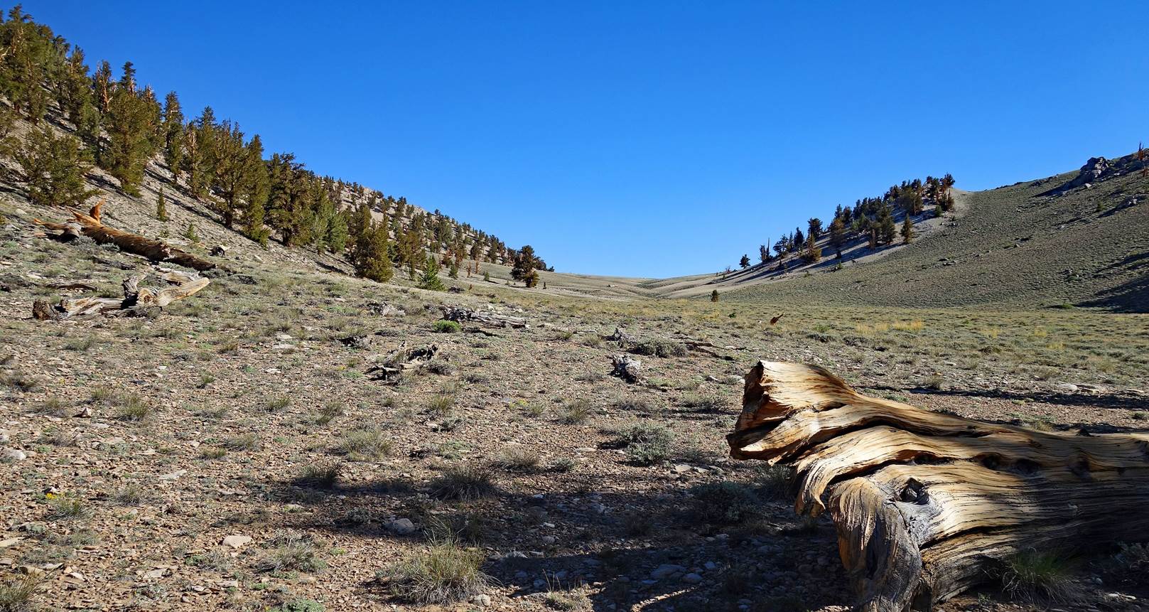
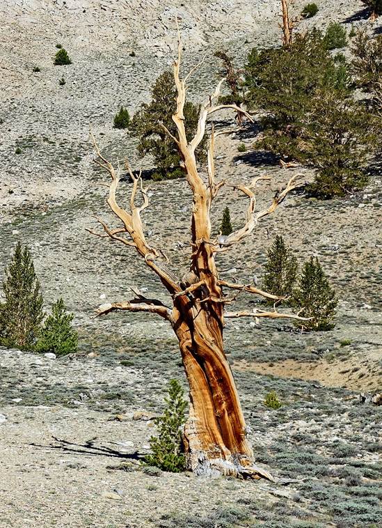
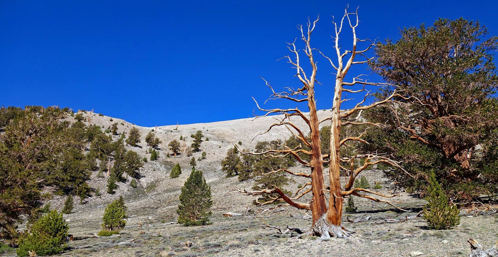
Bristlecone pines on
the left side of the valley.
|
|
|
|
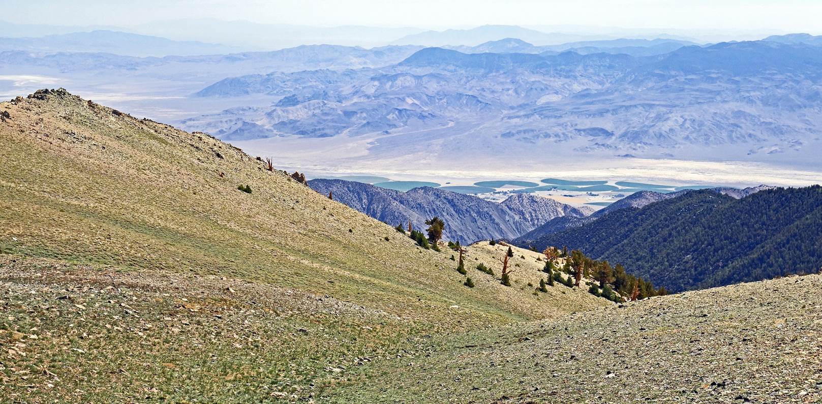
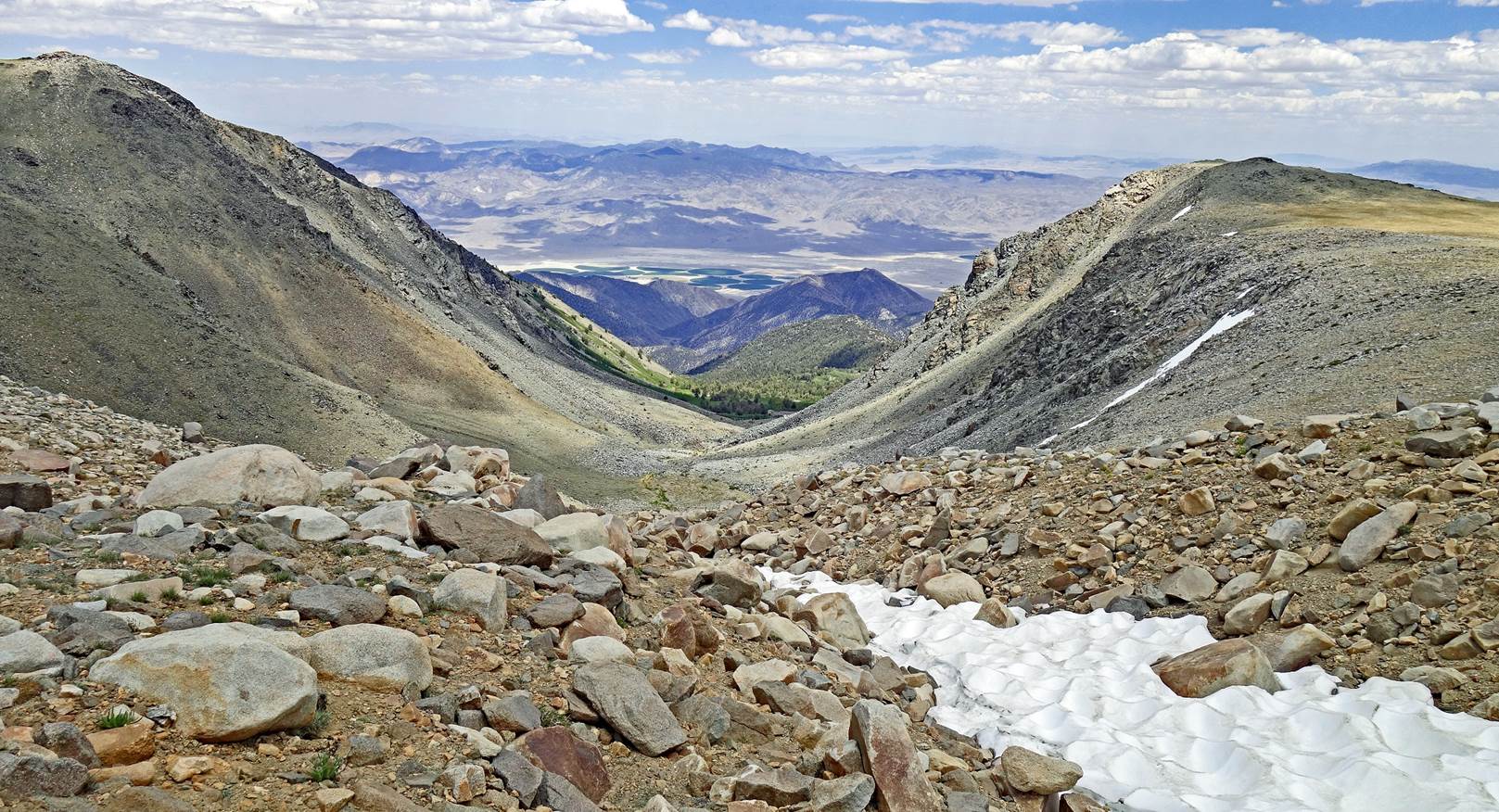
View over Fish Lake Valley (see map at the top of the page) from
waypoint 11 (3570m), on our way up to the crest of the White Mountains range.
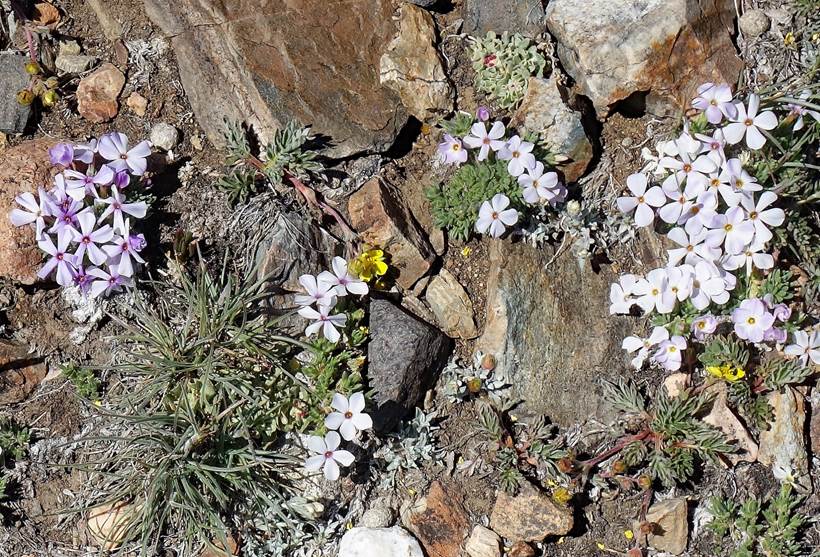
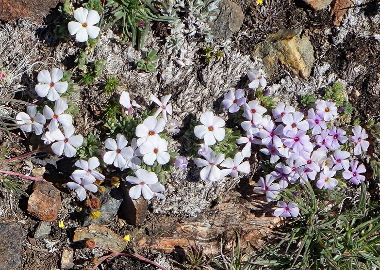
Above 3500m the
ground was often covered with these small white or light pink flowers (Mountain
Phlox).
|
|
|
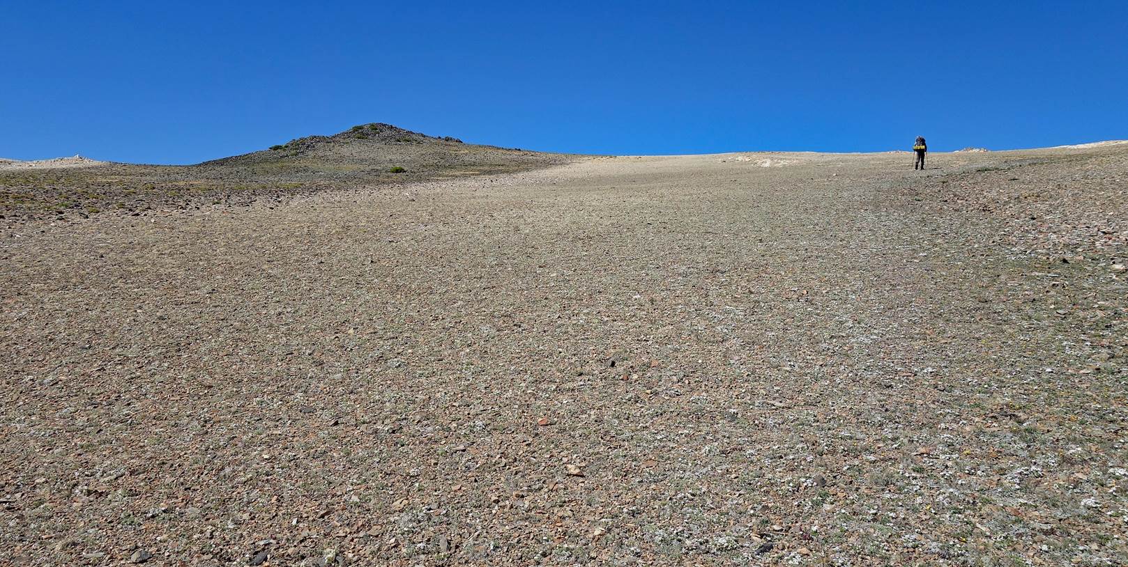
SP reaching the crest
of the White Mountains (around waypoint 12). At this location (south of White
Mountain Peak), the crest is quite broad and gently bent between its eastern
and western edges.
First view of White
Mountain Peak (4344m), the highest summit of the range.
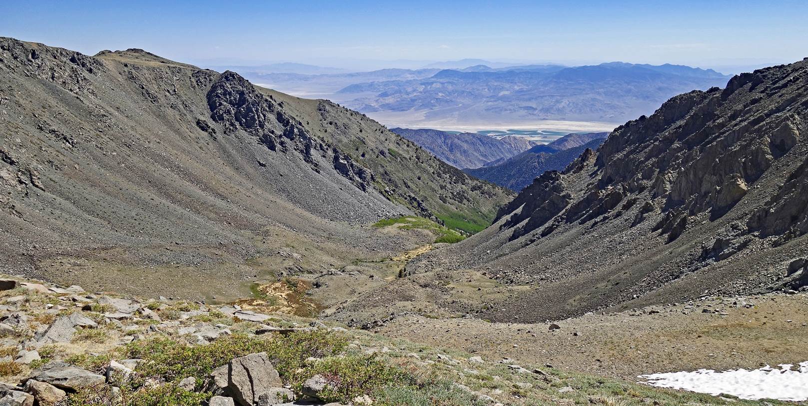
One of the multiple
cirques created by Pleistocene glaciers on the eastern side of the White
Mountains, with Fish Lake Valley in the background.
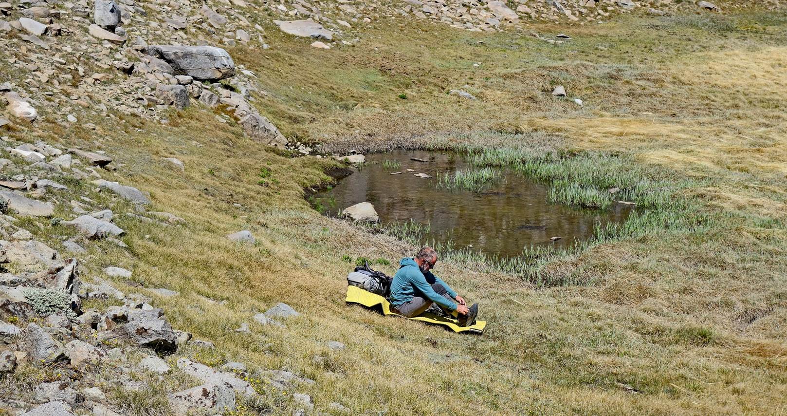
Taking a rest near a
pond (the only one we saw during the entire traverse) at waypoint 14.
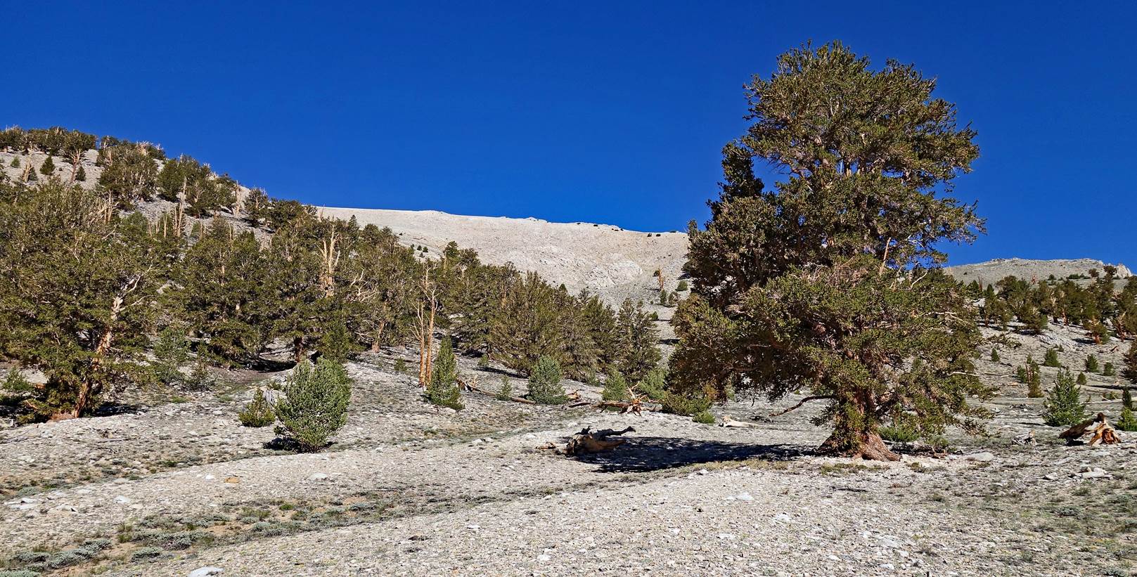
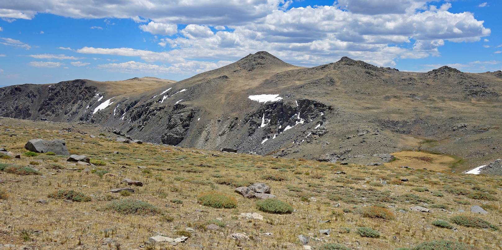
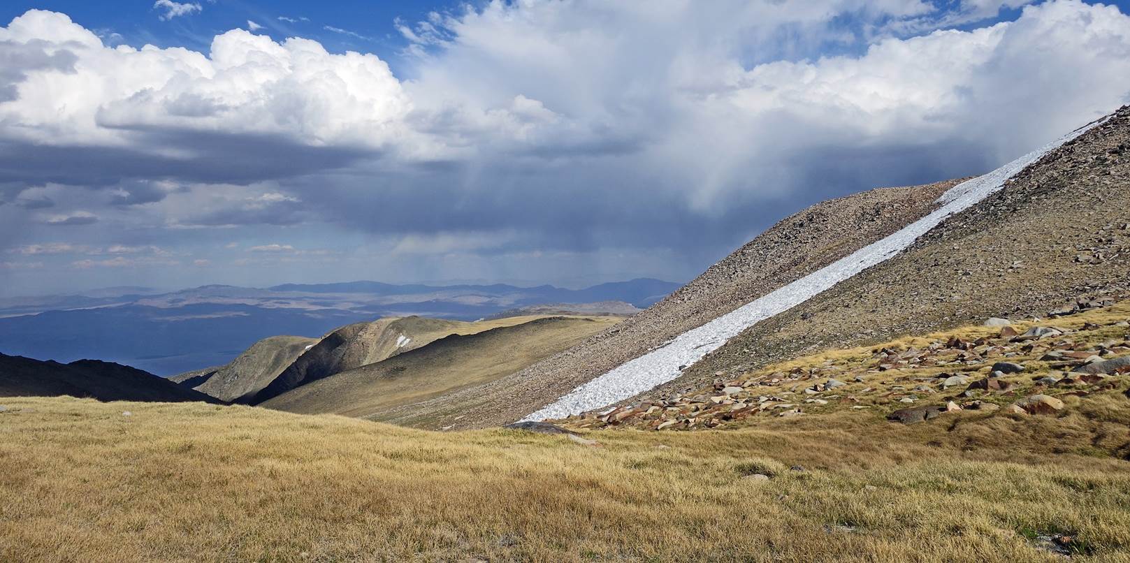
View of the eastern
edge of the range crest. As mentioned before, the crest is wide. It is often
slightly hilly with a thin layer of vegetation.
Another glacial
valley on the eastern side of the White Mountains.
Our 2nd camp at
waypoint 17 (3760m) near a small stream.
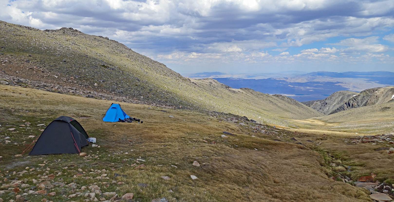
View from my tent
toward the east.
To
directly access the other day-by-day pages of the traverse, click the following
links:
![]()