Across Ladakh and Zanskar
(July-September 2013):
3. Wanla to Kanji
![]()
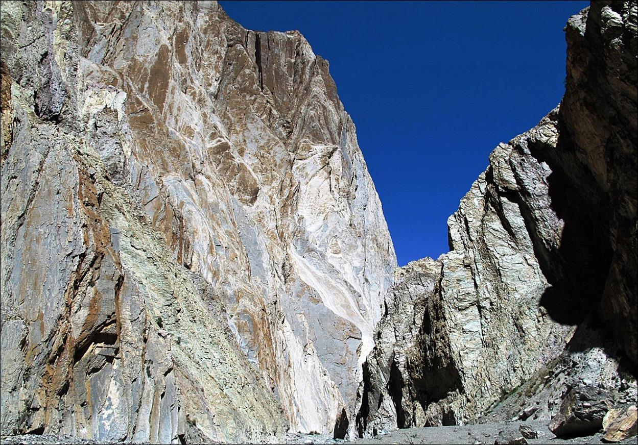
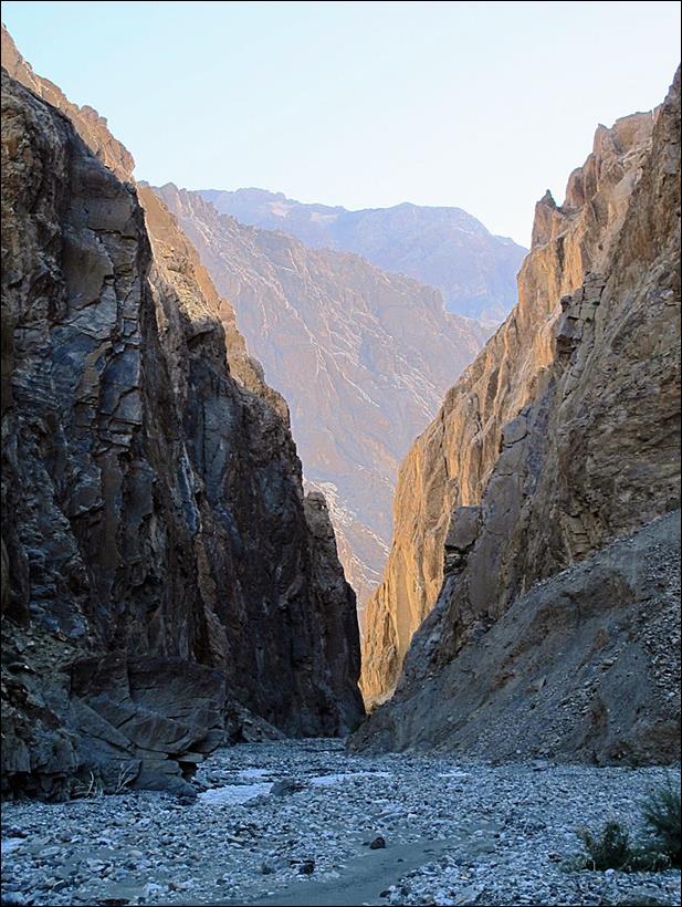
Entry into the
spectacular canyon of the Shillakong river.
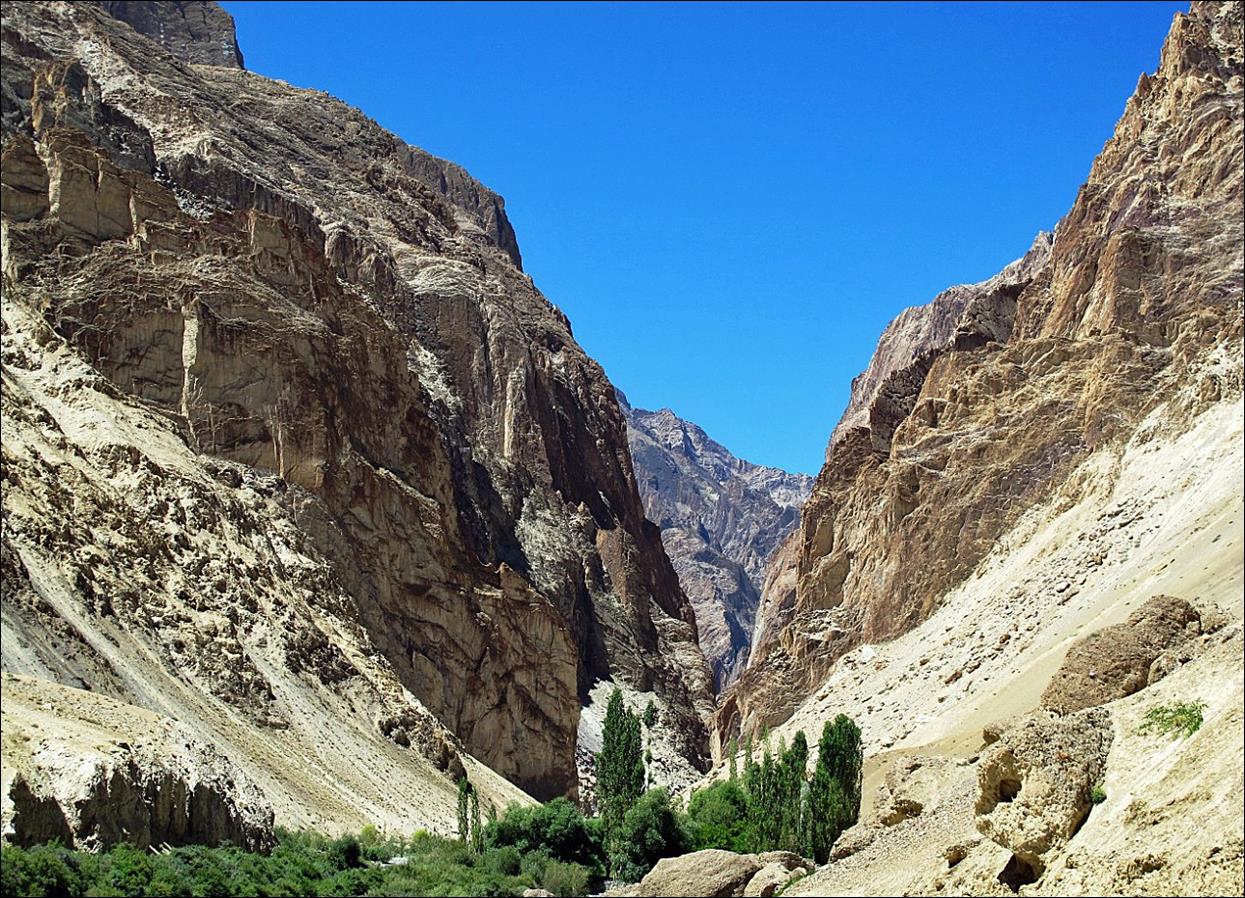
Along the Shillakong canyon. This narrow canyon is about 12km long.
The side walls are 2 to 4 hundred meters high. Hiking between the two ends of
the canyon requires fording the Shillakong river several dozen times. The river originates in a large
glacier (the Chomotang glacier) visible on the map
above. Fording is easy in the morning, but becomes increasingly difficult in
the afternoon.
|
|
|
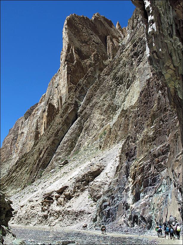

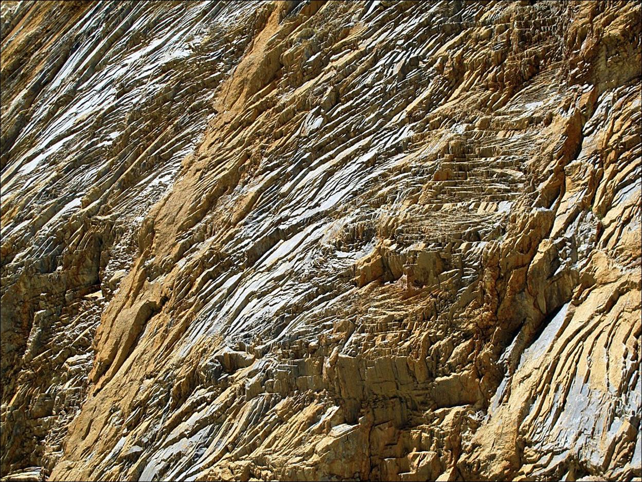
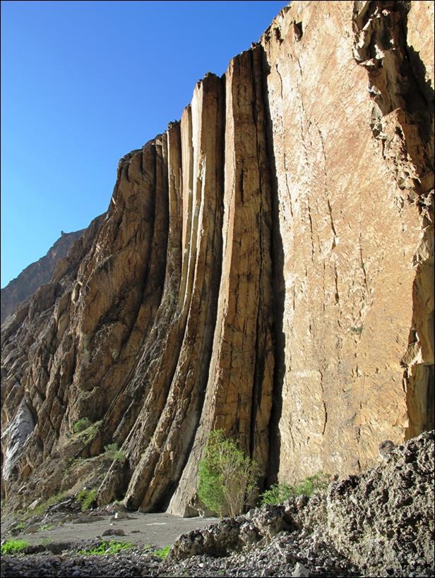
Highly
textured rock wall in the canyon.
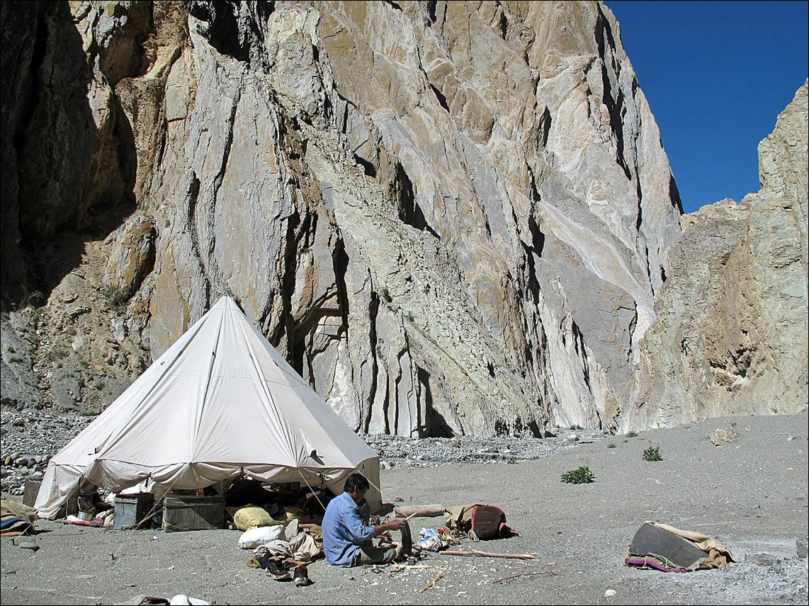
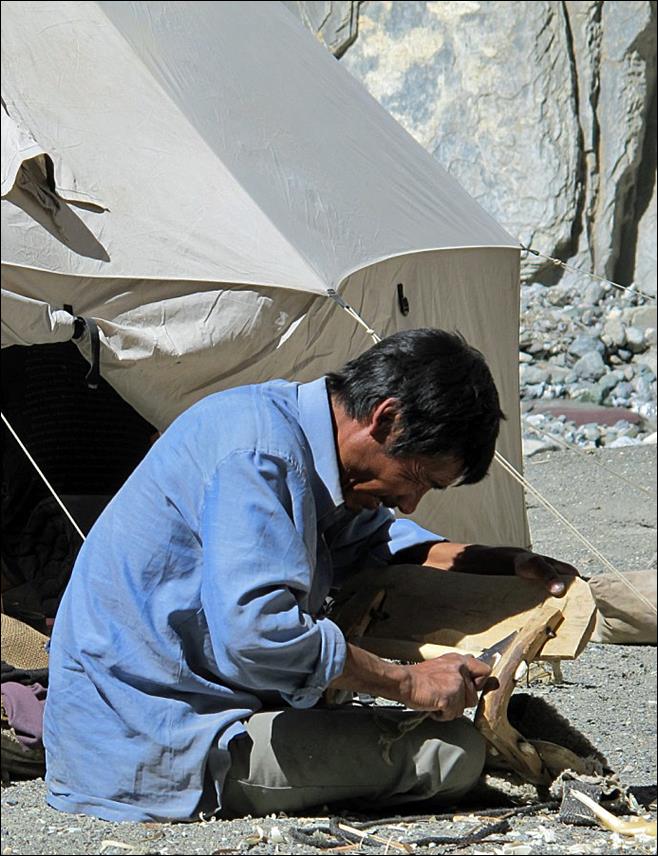
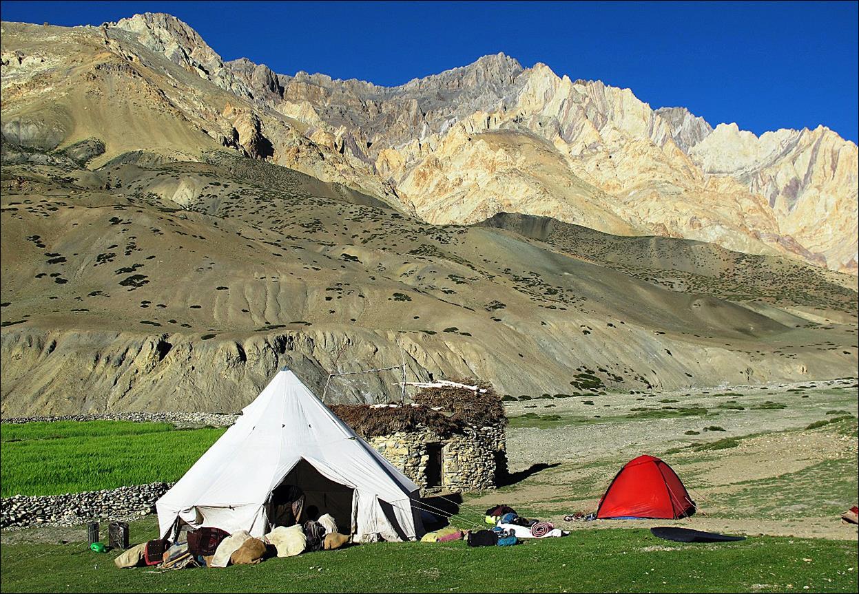
Our camp on a
small platform above the river mid-way along the canyon, with Dorjee Tundup (my team′s
horseman) repairing wood horse saddles.
|
|
|
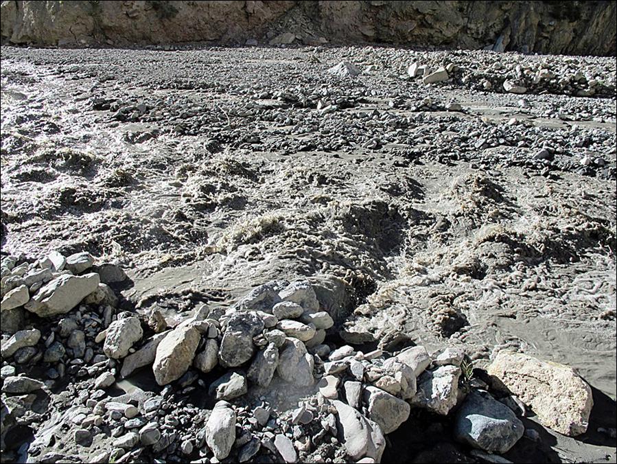
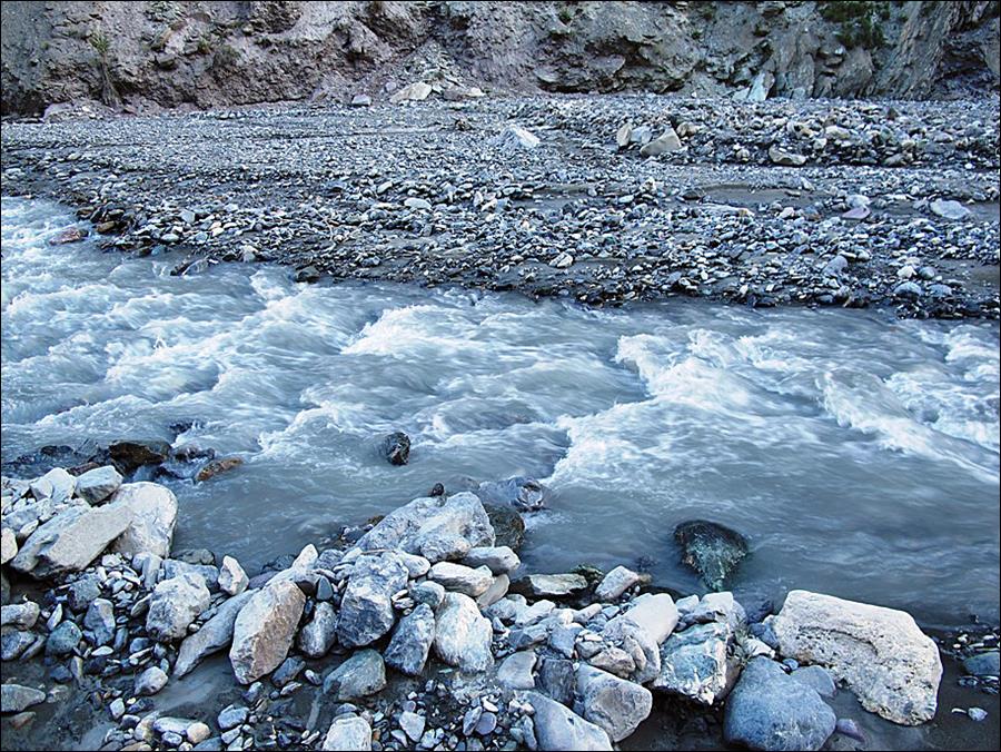
The Shillakong river in the afternoon
when we arrived at the camp, and in the morning when we left it.
|
|
|
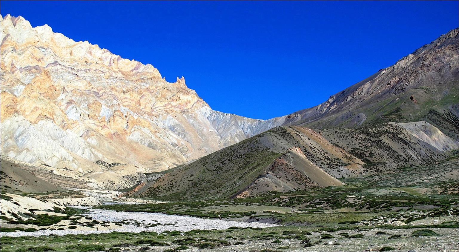
More rock
walls above our camp.
|
|
|

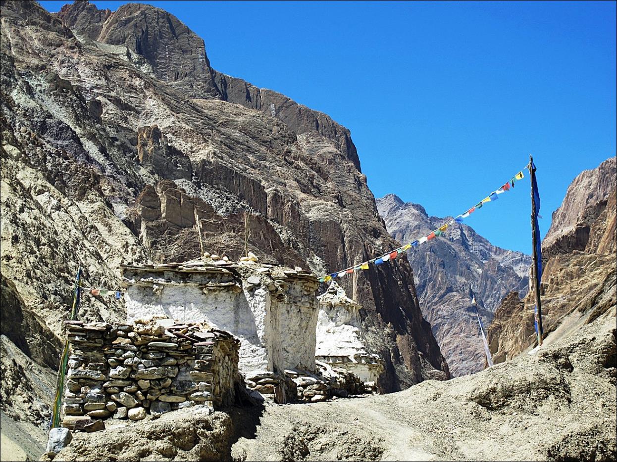
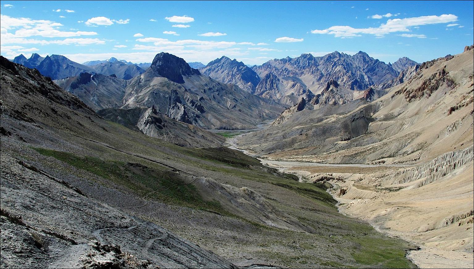
At the end of
the canyon starting the ascent of Yogmi La (pass #7).

View from Yogmi La (4720m) toward Kanji (north-west).
View of Yogmi La from the small settlement of Dumbur.
Our camp at Dumbur.
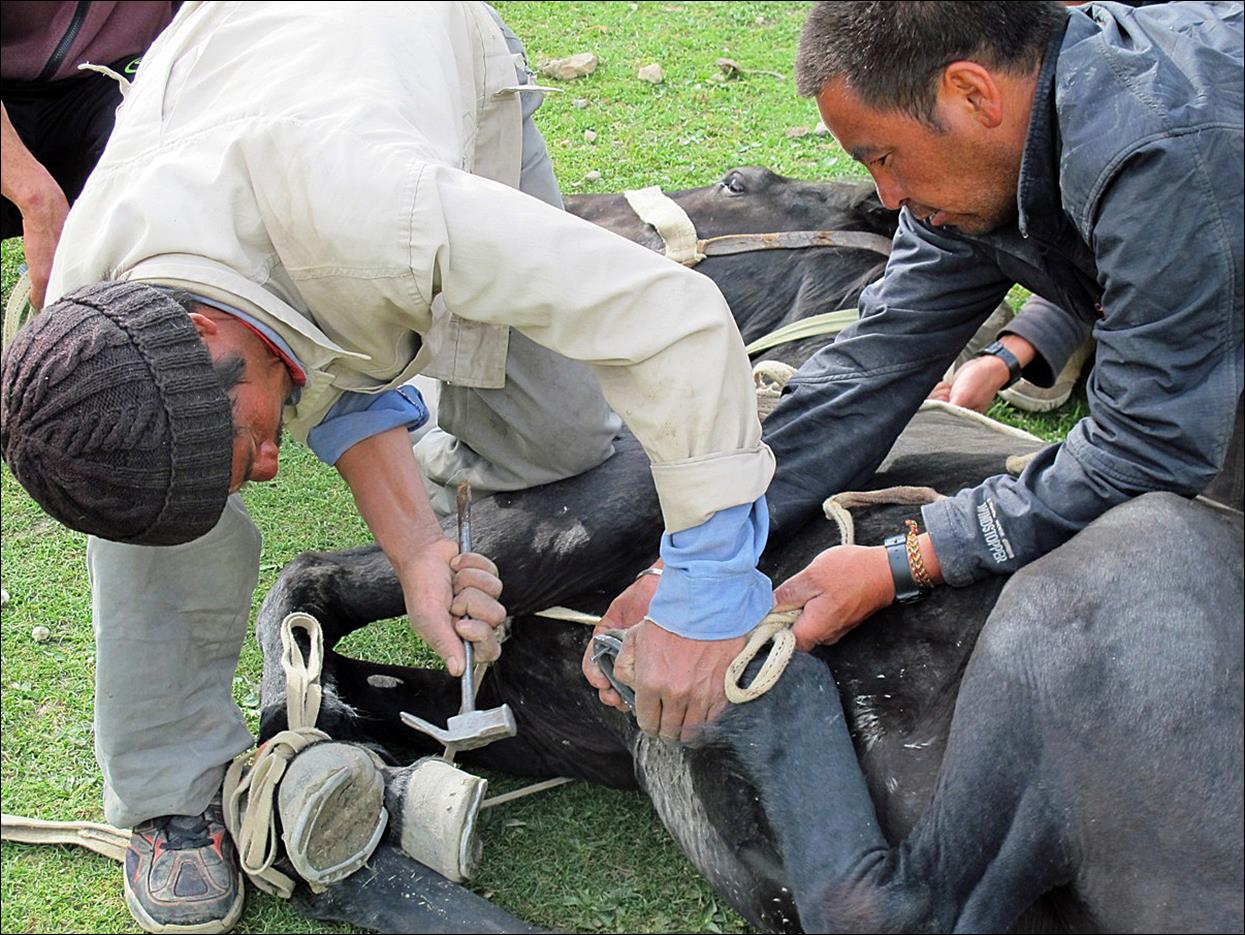
Re-shoeing one
of our horses along the way.
Kanji village.
Other trek sections:
![]()