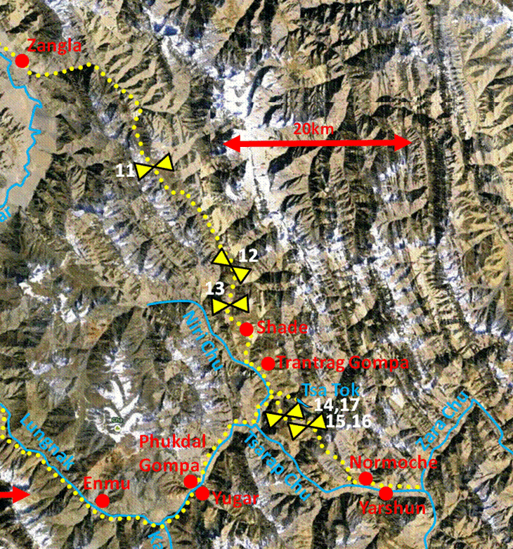
Across Ladakh and Zanskar
(July-September 2013):
6. Zangla to Zara Chu
![]()
Leaving Zangla toward the east, with the Zangla
fort behind us.
Along the Zumlung Chu river.
|
|
|
Our camp below
Pandang La (pass #11). The pass is not the one in the photo. It was behind me
when I took the photo.
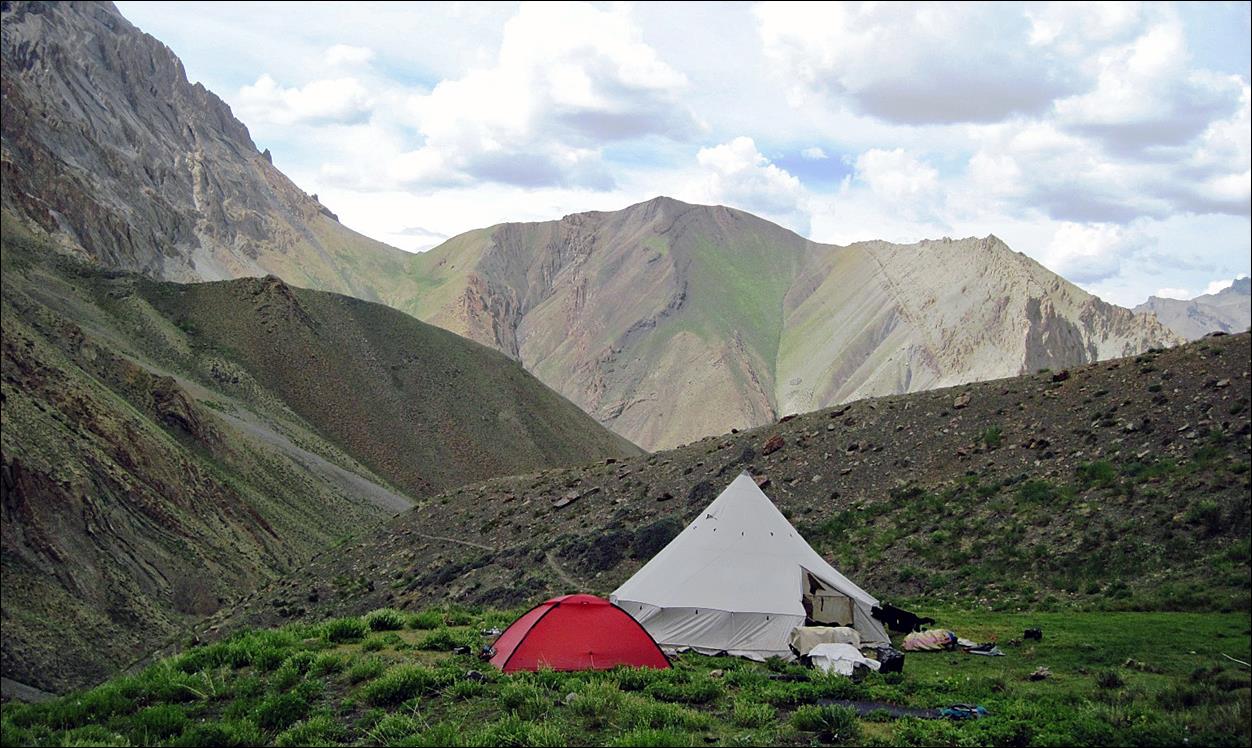
At Pandang La,
also called Ningri La (5150m)
View from
Pandang La toward the north. The white dots at the bottom-right of the photo
are the loaded horses still climbing toward the pass.
On the way
down from Pandang La we were caught in a nasty rain and hail storm, while we
still had to do several difficult river crossings. I stored my camera in my
backpack until the next morning.
View from Lar
La (4850m, pass #12), on the next morning, toward the north and Pandang La.
Rotong La (pass #13) seen during the descent from Lar
La.
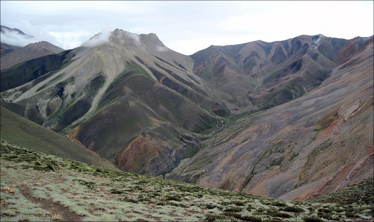
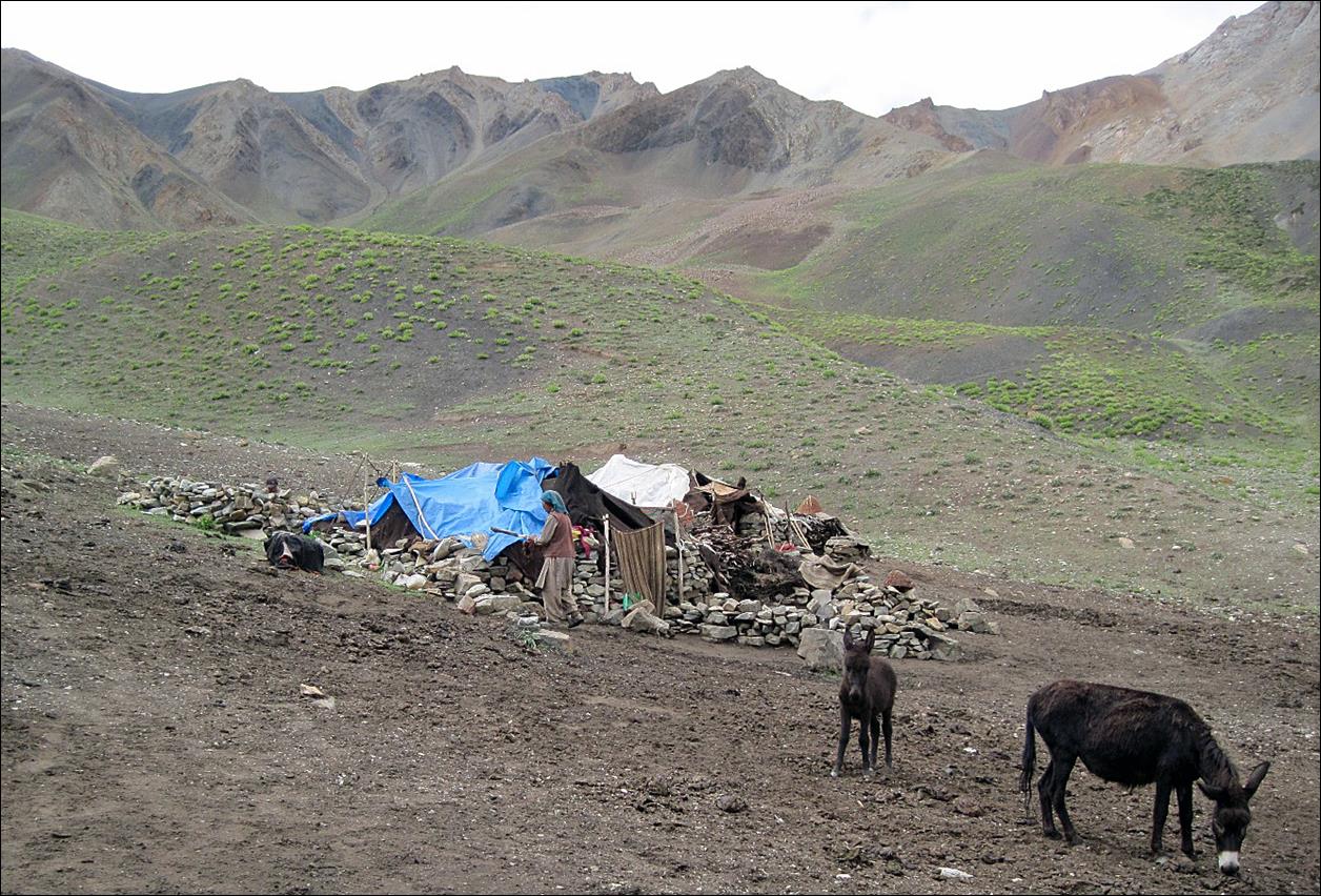
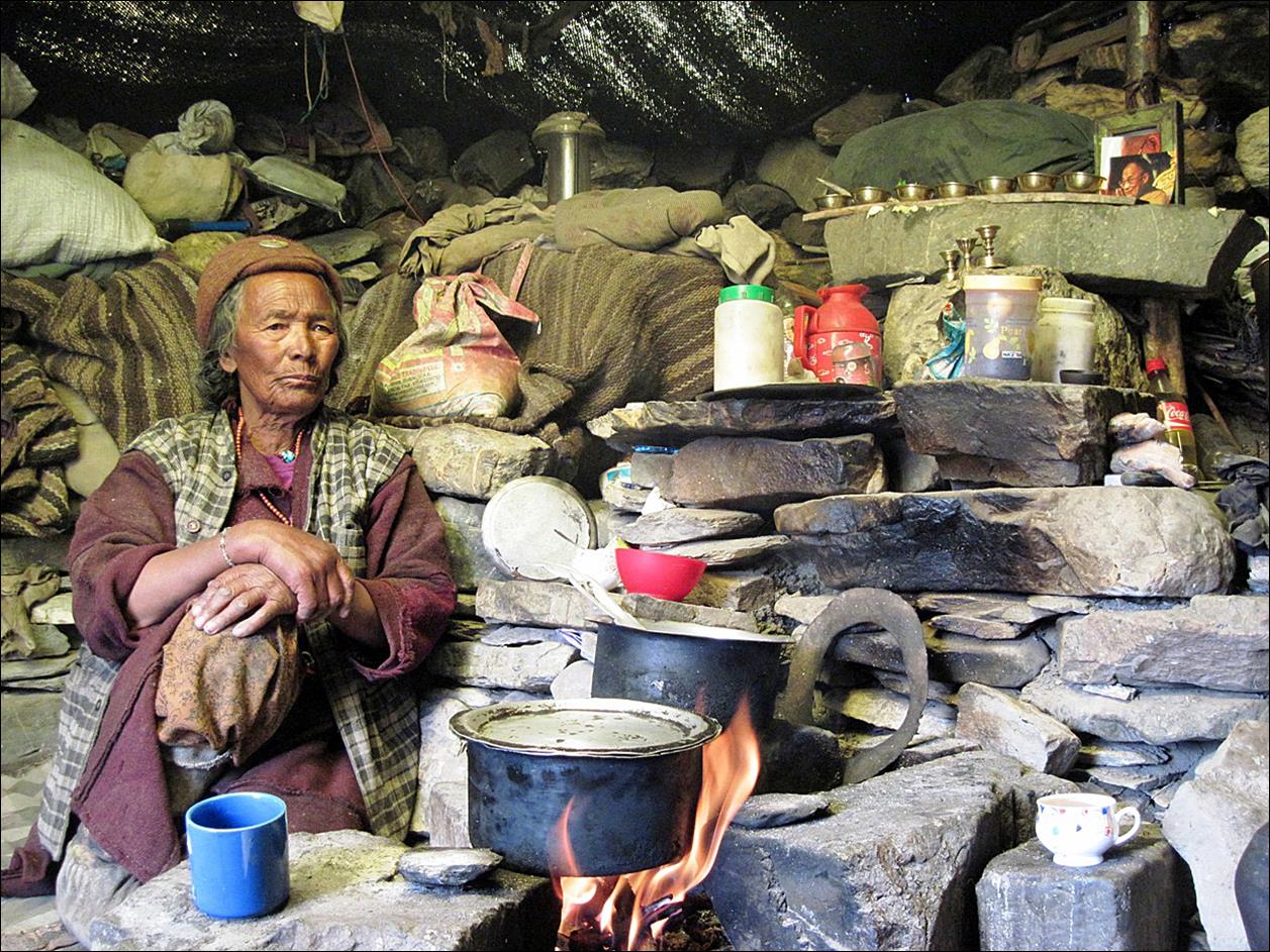
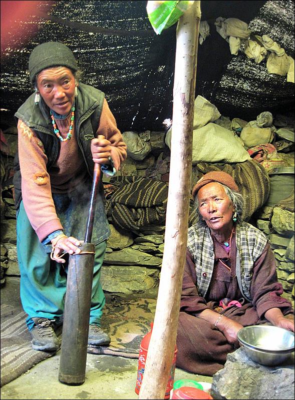
A camp of
shepherds on our way up to Rotong La. These very
friendly shepherds were from the village of Shade on the other side of the
pass.
|
|
|

View from Rotong La (5000m) toward the north. Lar La and Pandang La
are both visible on the first ridge and in the background, respectively.

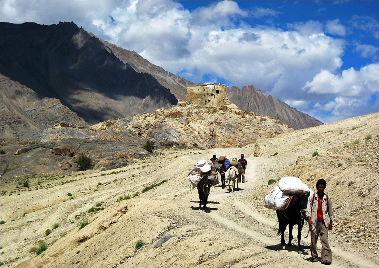
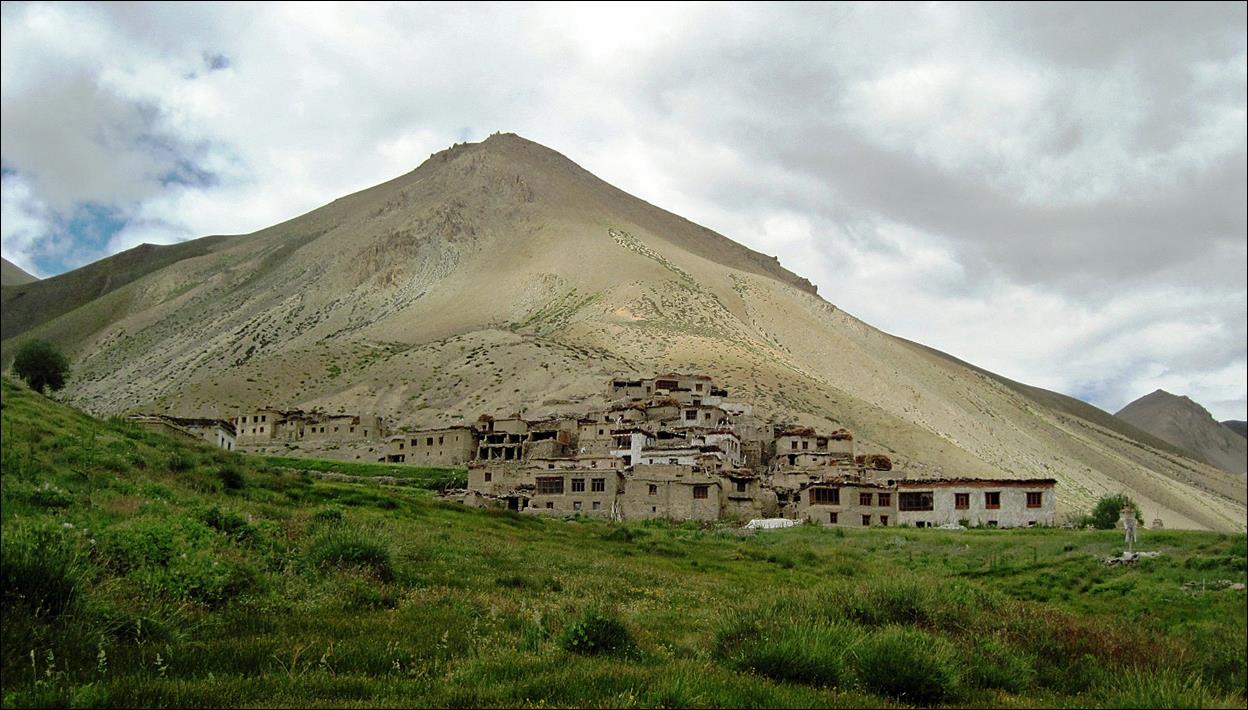
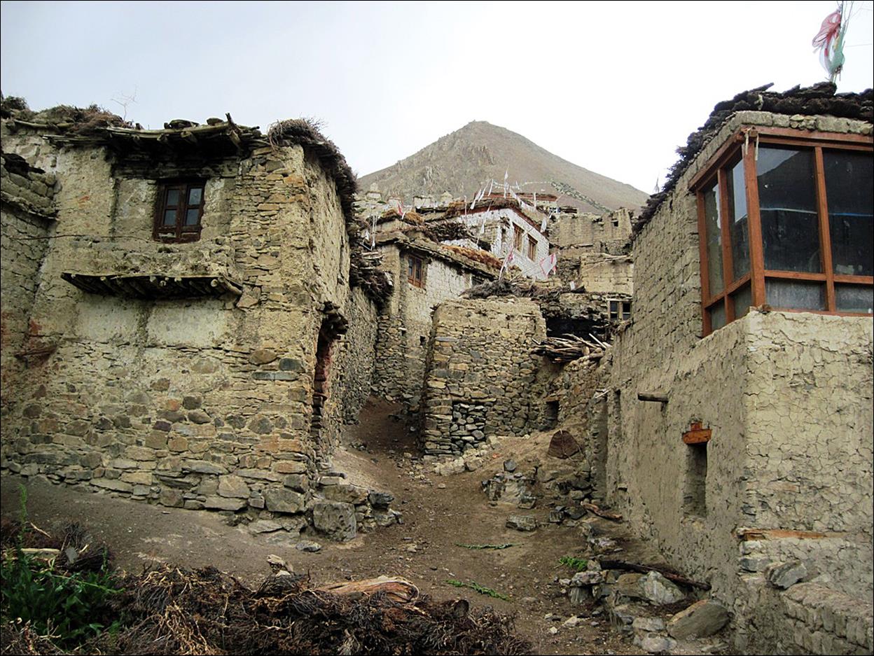
Isolated
village of Shade.
The beautiful
valley of the Niri Chu river,
with the small Trantrag gompa
visible on the left side of the photo. On the right, old man from Shade going
to the gompa.
|
|
|
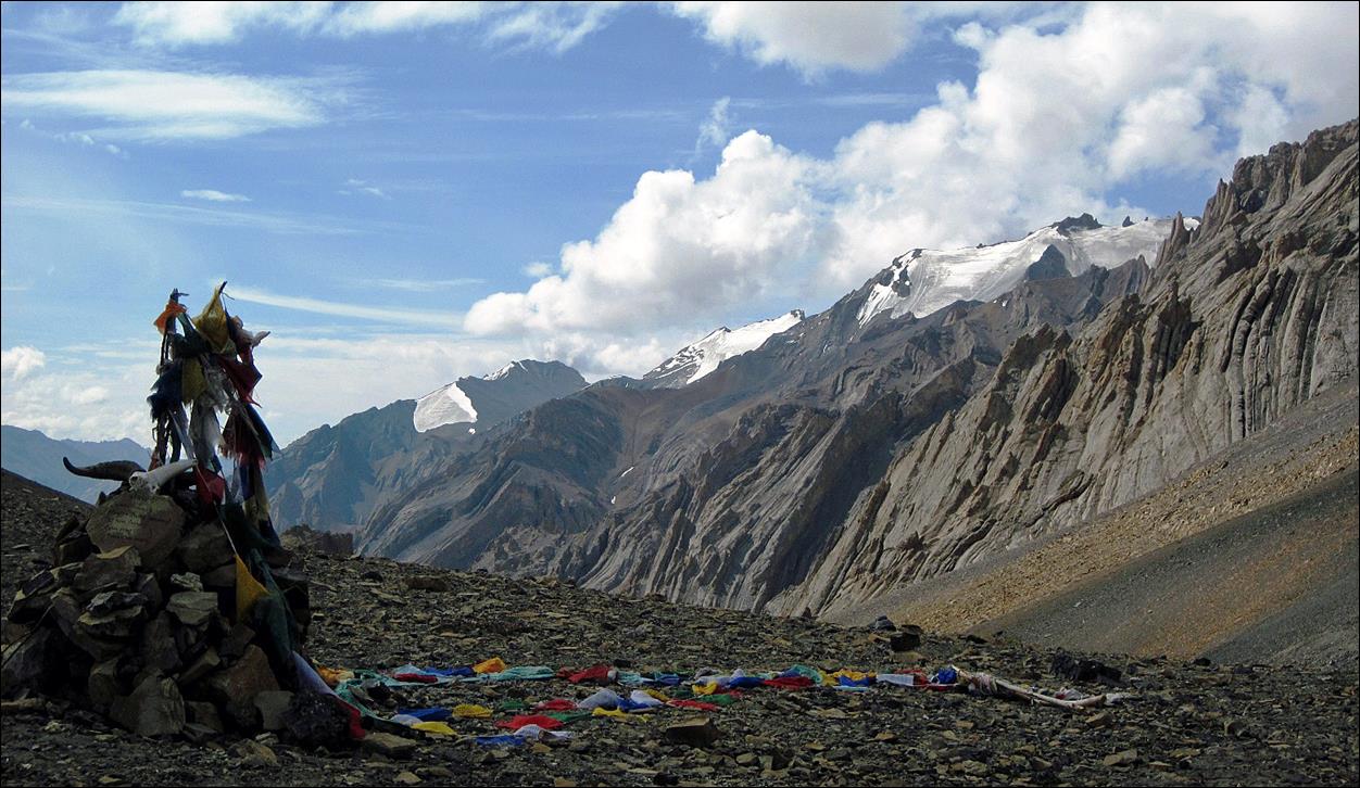
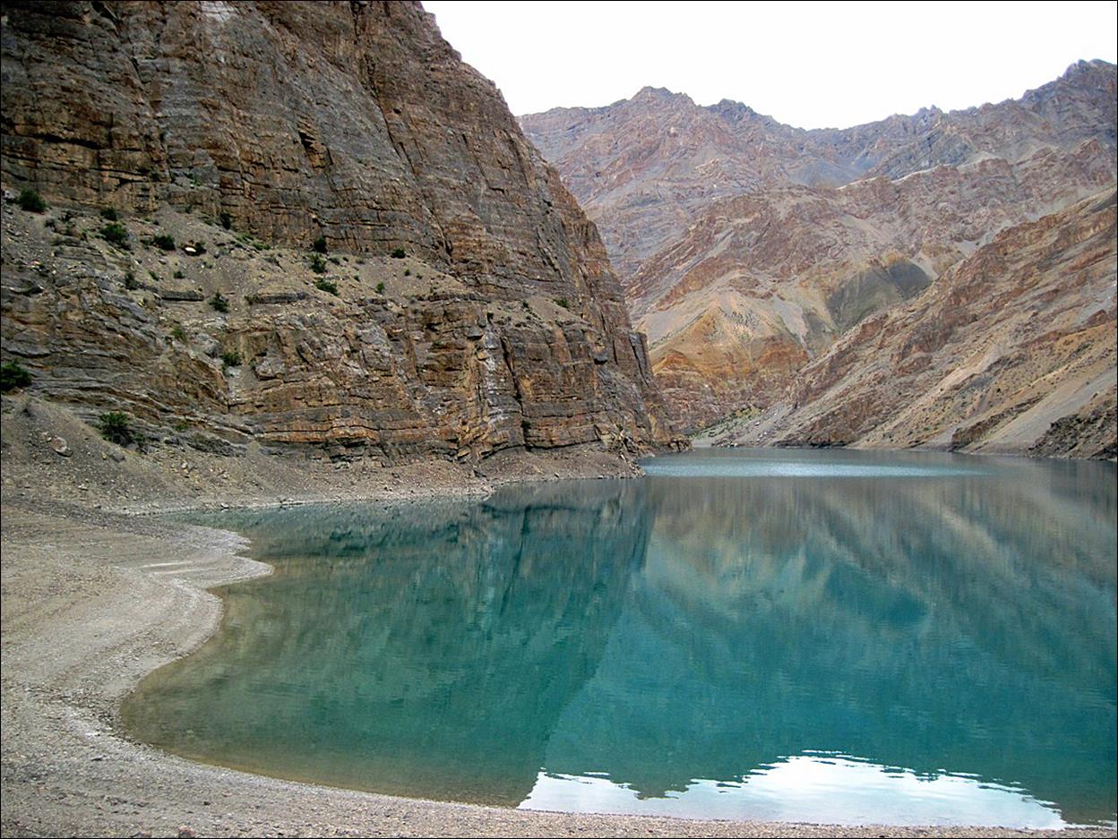
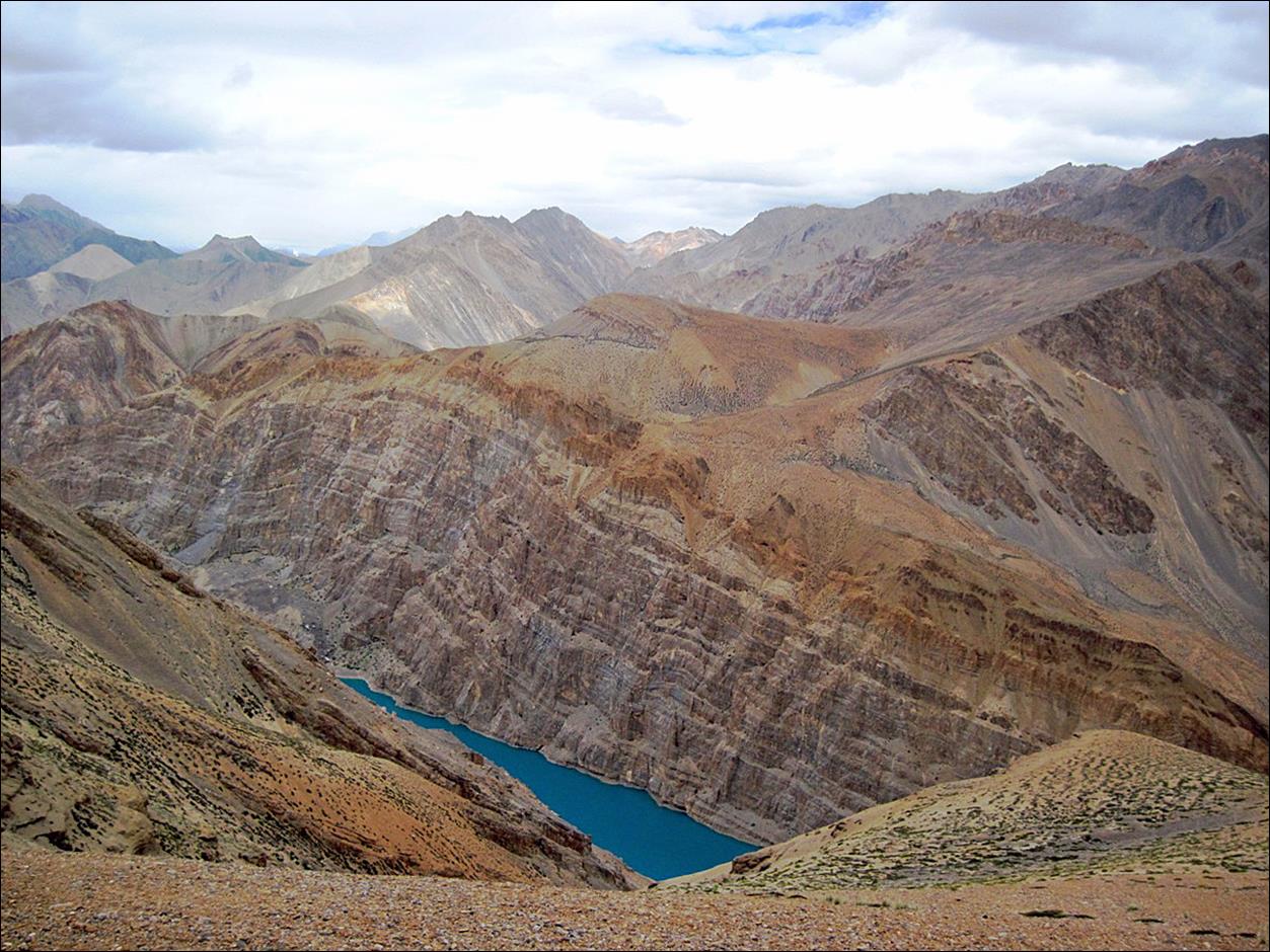
At Tsa Tok lake.
At Nialo Kontse La (4850m, pass #14,17), with a view of the Niri Chu
valley.

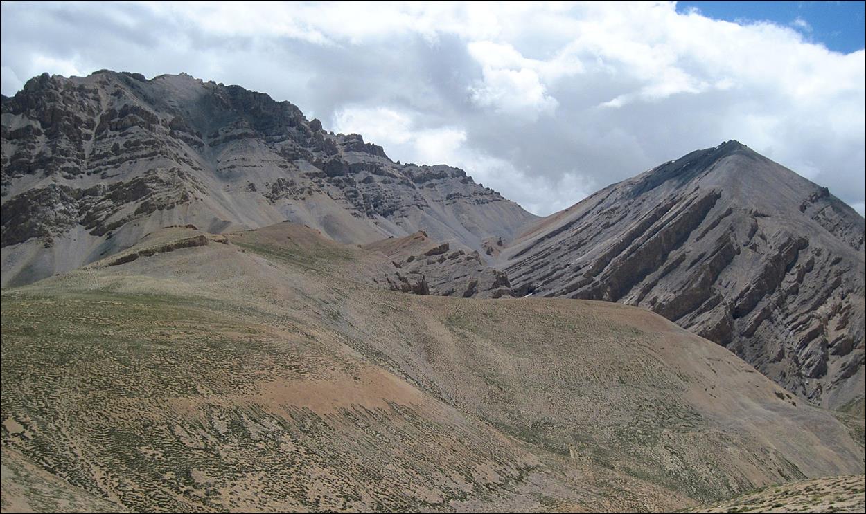
Gotunda La (5100m, pass #15,16)
seen from the saddle between Nialo Kontse La and Gotunda La.
Tsa Tok lake seen
from the saddle between Nialo Kontse
La and Gotunda La. From this viewpoint, the lake has
a beautiful blue color.
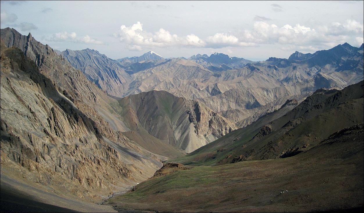
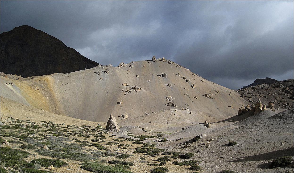
On the way up
to Gotunda La.
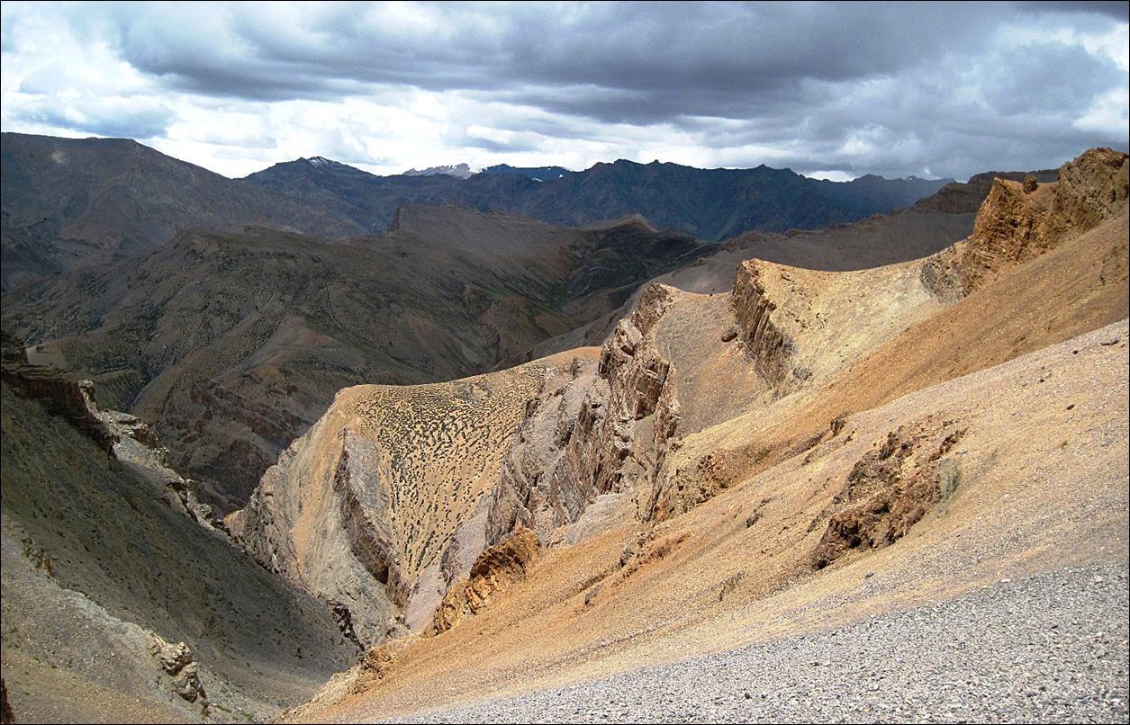
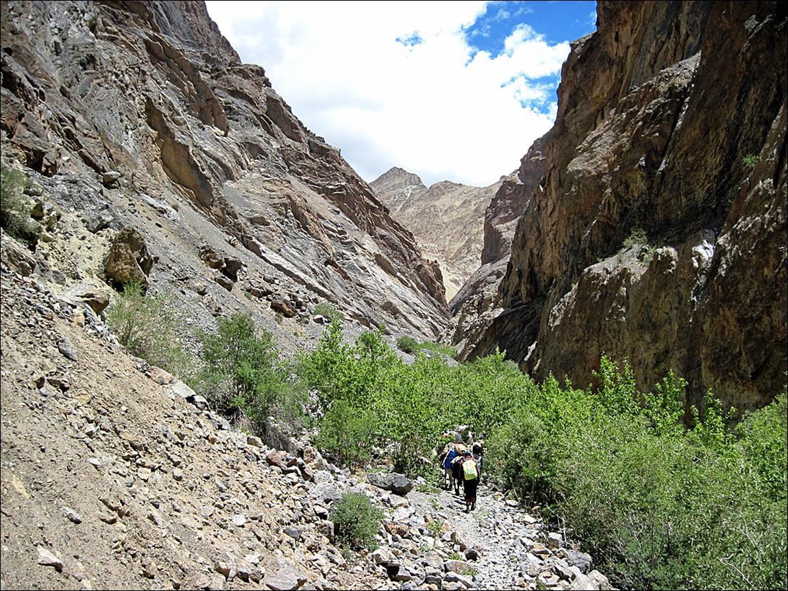
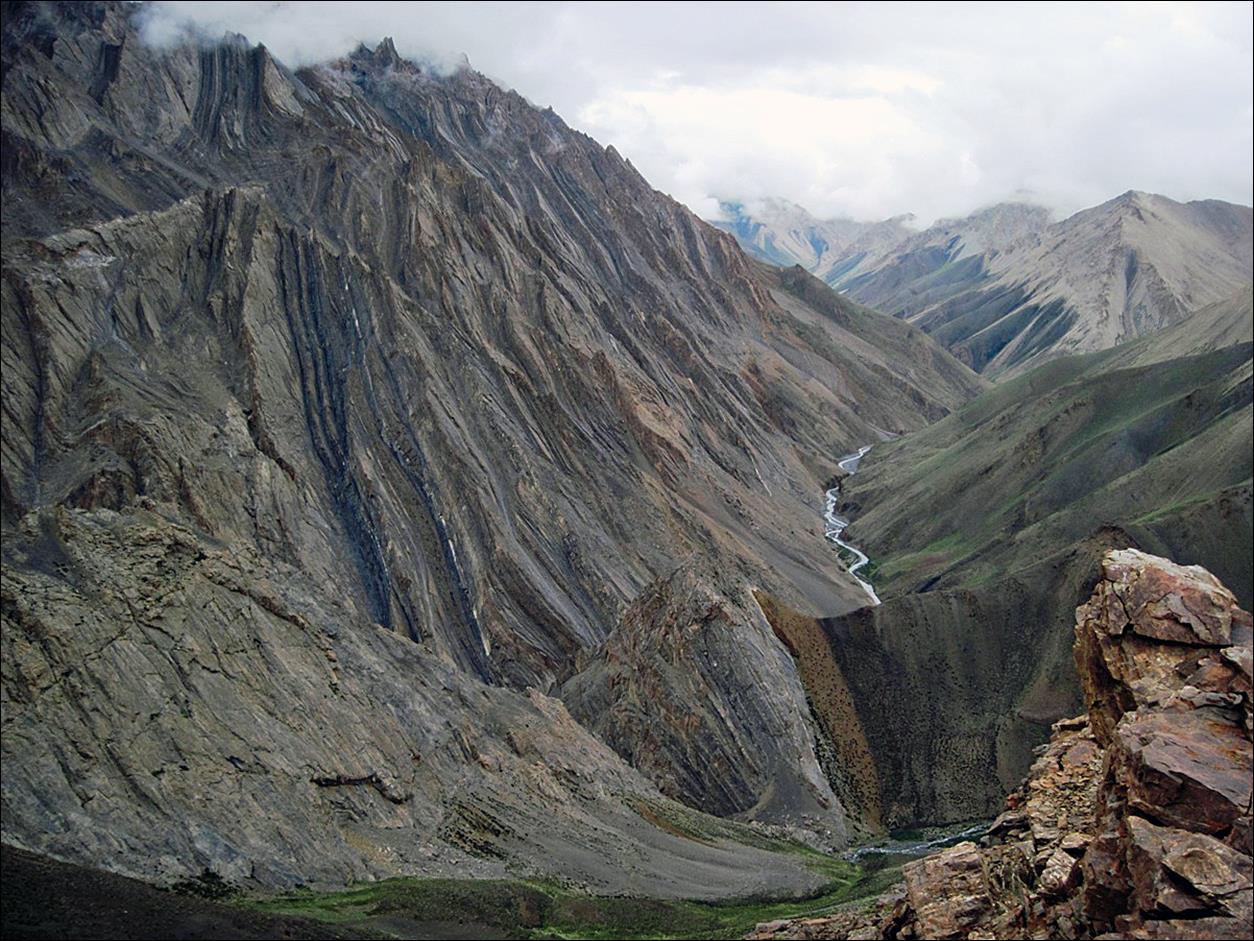
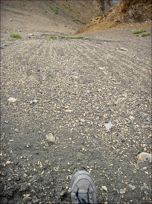
The path down
from Gotunda La to Tsarap Chu. In some places it is
very narrow, unstable, and steep.

|
|
|
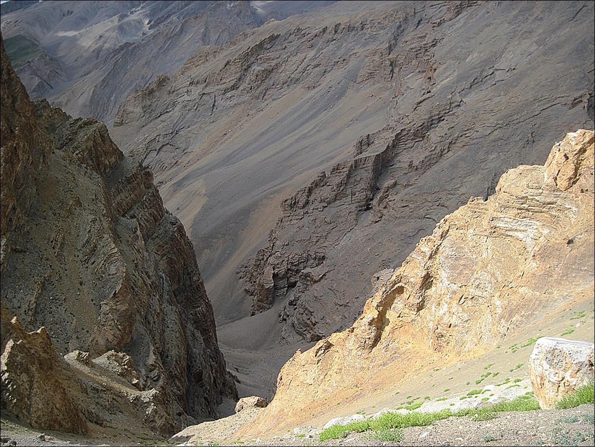
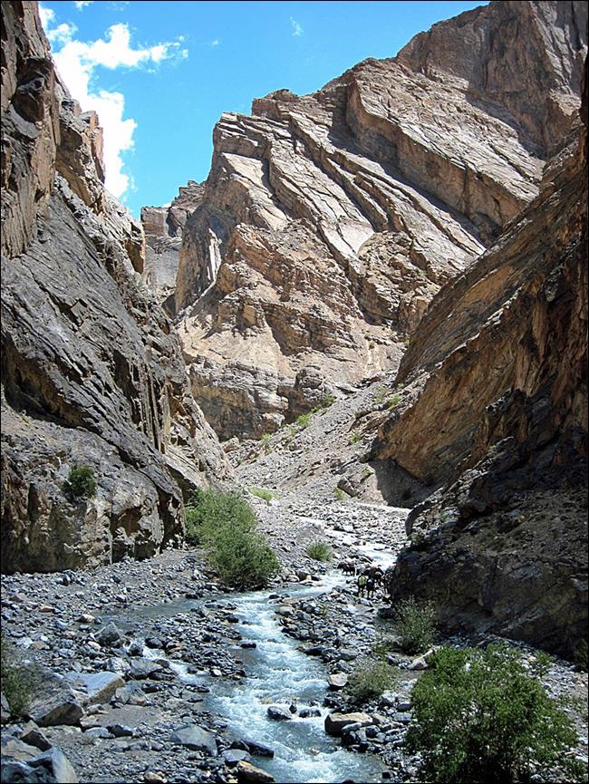
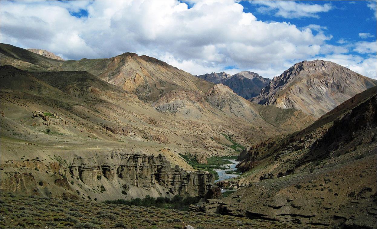
Strange
scenery further down from Gotunda La.
The last
stretch of the descent before reaching Tsarap Chu.

At Normoche near the Tsarap Chu river.
The village of
Yarshun on the opposite side of Normoche
across Tsarap Chu. Both Normoche and Yarshun are abandoned villages. Sadly, nobody lives there
anymore.

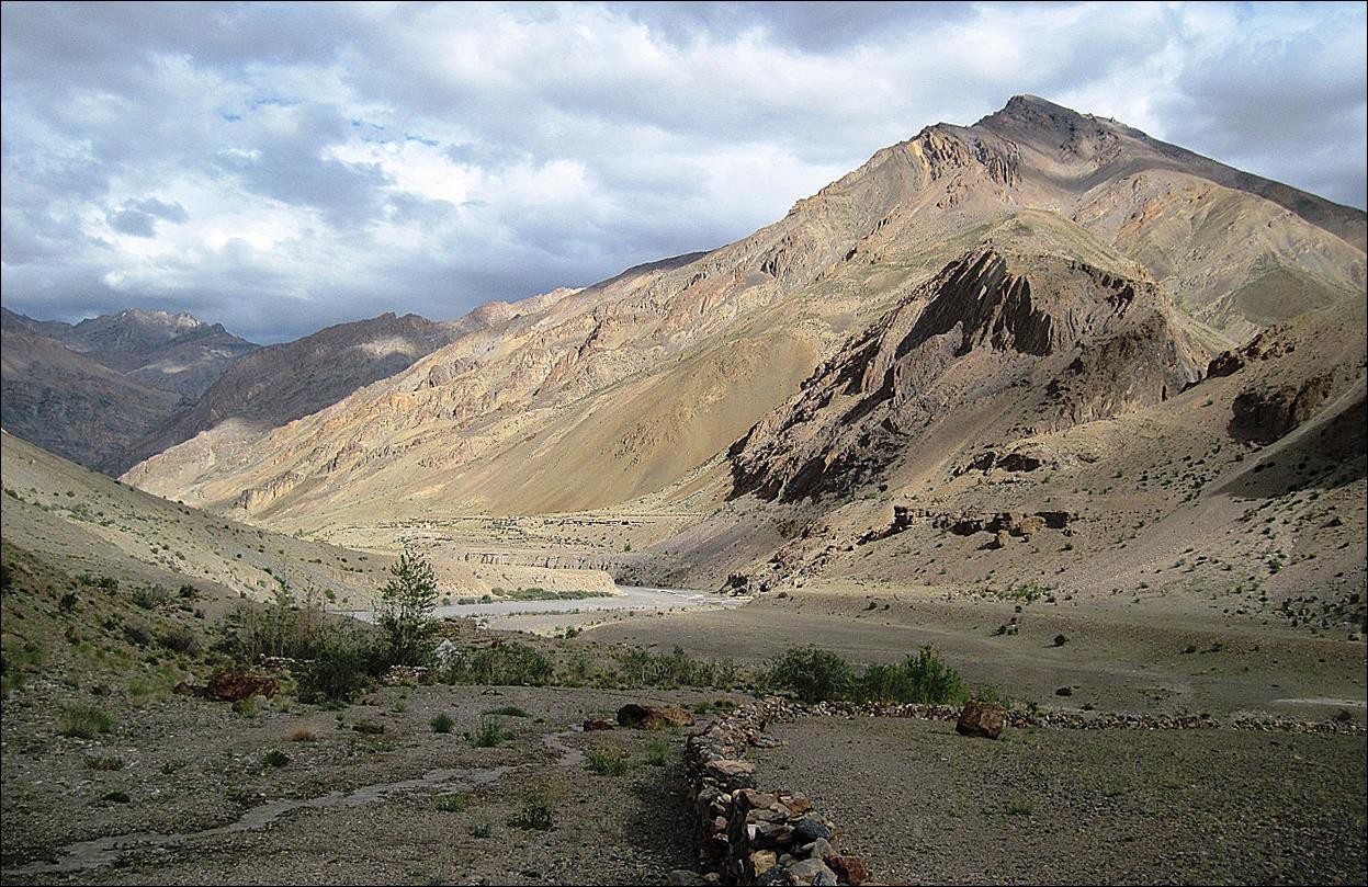
The Tsarap Chu
valley (looking toward the west).
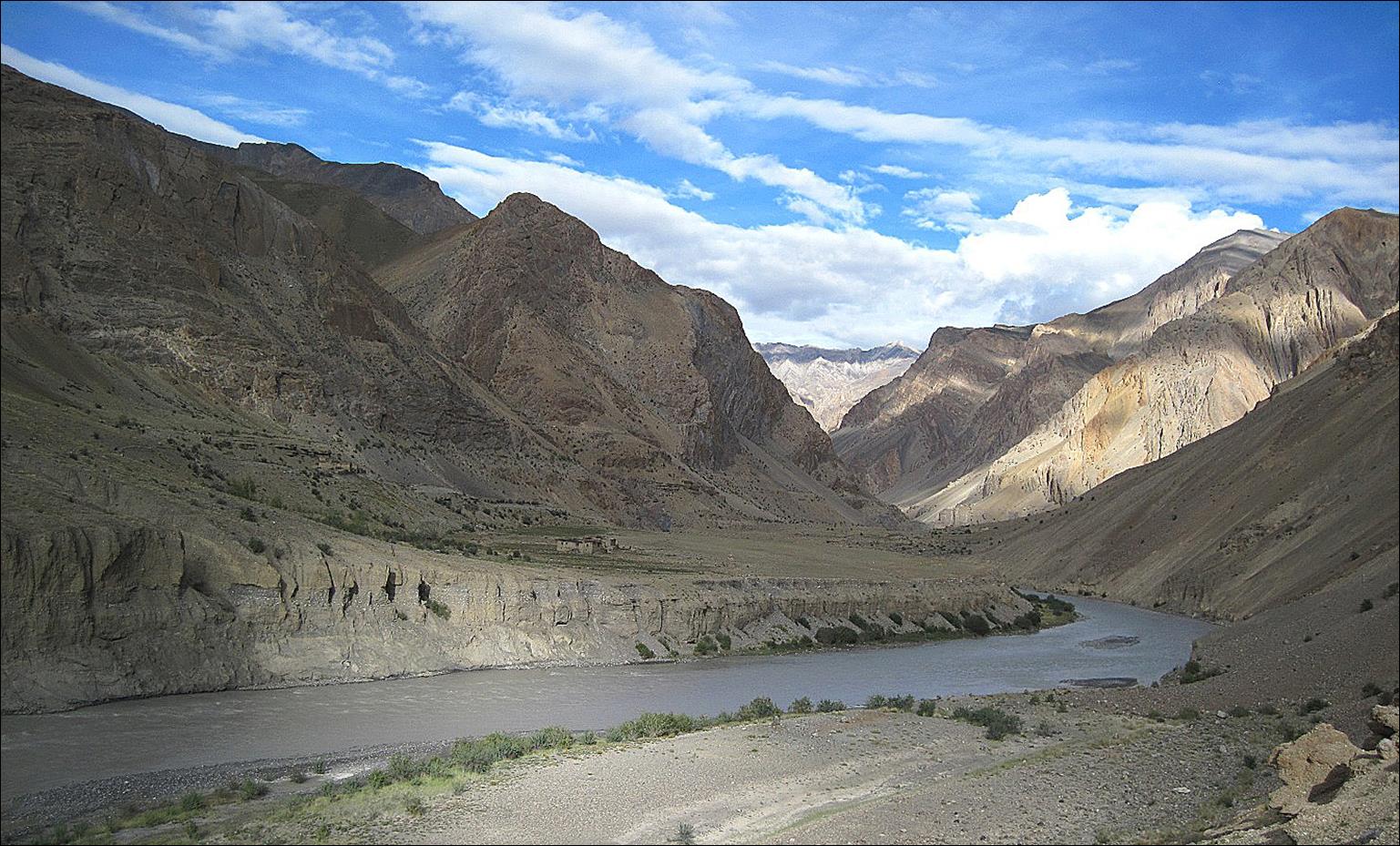
The Zara Chu river flowing into the Tsarap Chu. Due to the storms of the
previous days, the water was too deep and too fast to cross safely, even for
our horses. Here, I decided to backtrack to the Niri
Chu (by crossing Gotunda La and Nialo
Kontse La in reverse) and, from there, to go to Padum.

Other trek sections:
![]()